Fort Sill in Comanche County, Oklahoma — The American South (West South Central)
Sheridan
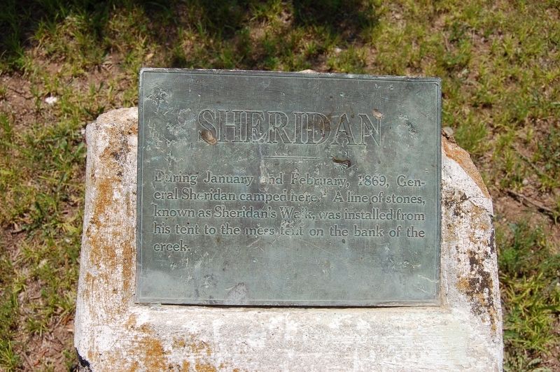
Photographed by Jeff Barnes, May 29, 2010
1. Sheridan Marker
Topics. This historical marker is listed in this topic list: Wars, US Indian. A significant historical month for this entry is January 1869.
Location. 34° 40.697′ N, 98° 23.58′ W. Marker is in Fort Sill, Oklahoma, in Comanche County. It is on Quinette Road, on the right when traveling east. Touch for map. Marker is in this post office area: Fort Sill OK 73503, United States of America. Touch for directions.

Regionally, this marker is in the Kiowa Tribe, in the Comanche Nation, and in Southwest Oklahoma—Great Plains Country. It is also in the American South, specifically on the prairies, and on the Southern Plains. Globally, it is in North America, the Western Hemisphere, the Western World, and the Anglosphere. Historically, it finds itself in what was once New Spain, the Comanchería, the territory of the Mississippian Culture, and the Louisiana Purchase.
Other nearby markers. At least 8 other markers are within walking distance of this
this page online
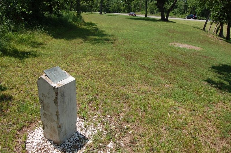
Photographed by Jeff Barnes, May 29, 2010
2. Sheridan Marker
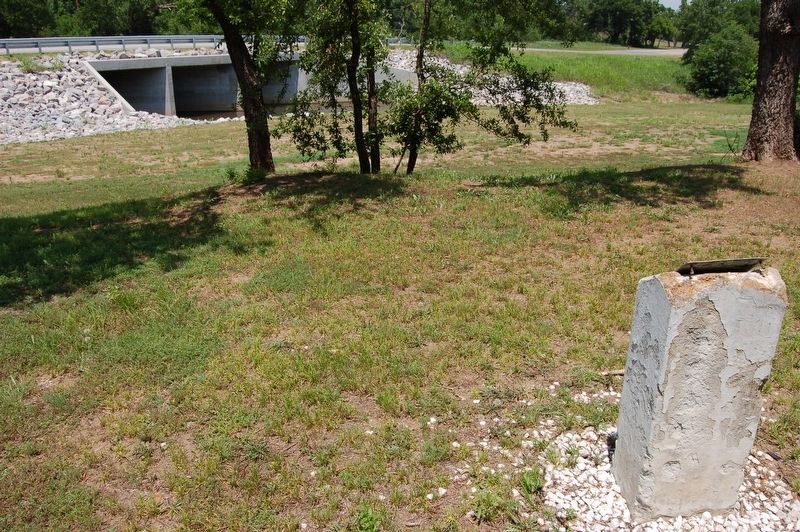
Photographed by Jeff Barnes, May 29, 2010
3. Sheridan Marker
Credits. This page was last revised on November 4, 2026. It was originally submitted on October 16, 2026, by Jeff Barnes of Omaha, Nebraska. This page has been viewed 9 times since then. Photos: 1, 2, 3. submitted on October 16, 2026, by Jeff Barnes of Omaha, Nebraska. • Andrew Ruppenstein was the editor who published this page.
