Ticonderoga in Essex County, New York — The American Northeast (Mid-Atlantic)
Upper Falls Industry
Photographed by Kevin Craft, September 23, 2026
1. Upper Falls Industry Marker
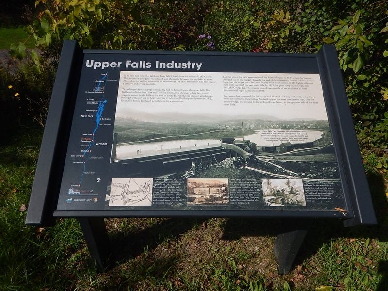
Ticonderoga’s famous graphite industry had its beginnings at the upper falls. Guy Baldwin built the first “lead mill” on the west side of the river where he ground graphite mined in the hills to the west of town. He ran the ore through grindstones, mixing it with iron ore to help pulverize it. After he filed his pencil patent in 1835, he and his family produced pencils here for a generation.
Lumber drove the local economy until the financial panic of 1837, when the bottom dropped out of the market. Towards the end of the nineteenth century, fiber industries took over the upper river. A cotton factory went into business in 1872 while different pulp mills occupied the two main falls. In 1893, the pulp companies merged into the Lake George Paper Company, one of twenty mills in the northeast to form International Paper Company in 1898.
Succession
this page online
Caption on the large photo:
Glens Falls Pulp Company built this new brick and stone mill in 1891 when the refitted cotton mill burned. International Paper Company purchased it in 1898 and produced newsprint for another thirty years.
Bottom captions (left to right):
(1) Arnold’s 1894 survey of Alexandria carefully delineated the outlet of Lake George, the first waterfall, and the mill race leading to the Lake George Paper Company, the newly consolidated enterprise that placed the entire upper falls under single ownership for the first time in history.
(2) Lake George Manufacturing Company constructed a cotton mill below the upper falls in 1872, intending to capitalize on the boom in the textile industry. The 5-story mill ran 60,000 spindles, but it was empty by 1884 when the Glens Falls Pulp Company looked for a new location after its first mill burned.
(3) This view of the upper
Photographed by Kevin Craft, September 23, 2026
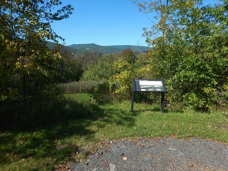
2. Wideview of Upper Falls Industry Marker
Erected by PRIDE of Ticonderoga.
Topics. This historical marker is listed in these topic lists: Industry & Commerce • Settlements & Settlers • Waterways & Vessels. A significant historical year for this entry is 1835.
Location. 43° 50.392′ N, 73° 25.718′ W. Marker is in Ticonderoga, New York, in Essex County. It is on Lake George Avenue 0.1 miles north of Highland Street, on the right when traveling south. Marker is part of the LaChute River Walk Interpretive Trail. Touch for map. Marker is at or near this postal address: 48 Lake George Avenue, Ticonderoga NY 12883, United States of America. Touch for directions.

Regionally, this marker is in Upstate New York, in the Adirondacks & North Country, and in the Champlain Valley. It is also in the American Northeast and in the Mid-Atlantic. Globally, it is in North America, the Great North Woods, the Western Hemisphere, the Western World, and the Anglosphere. Historically, it finds itself in what was once the Viceroyalty of New France, New Netherland, and one of the original Thirteen Colonies.
Other nearby markers. At least 8 other markers are within walking distance of this marker: "C-Dam" (approx. 0.2 miles away); LaChute River Trail (approx. ¼ mile away); Old Military Road (approx. 0.3 miles away); From this point south… (approx. 0.4 miles away); Military Heroes of Ticonderoga (approx. 0.4 miles away); Mount Defiance (approx. 0.4 miles away); Artillery Park (approx. half a mile away); Lord Howe’s Grave (approx. half a mile away). Touch for a list and map of all markers in Ticonderoga.
Other markers no longer nearby. Historic Valley (was here, next to this marker but has been confirmed missing); Death of Lord Howe (was approx. 0.3 miles away but has been replaced with another marker now near it).
Credits. This page was last revised on October 16, 2026. It was originally submitted on October 16, 2026, by Kevin Craft of Bedford, Quebec. This page has been viewed 4 times since then. Photos: 1, 2. submitted on October 16, 2026, by Kevin Craft of Bedford, Quebec.
