Near Bastrop in Bastrop County, Texas — The American South (West South Central)
Antioch Cemetery
Photographed by Jeff Leichsenring, October 13, 2026
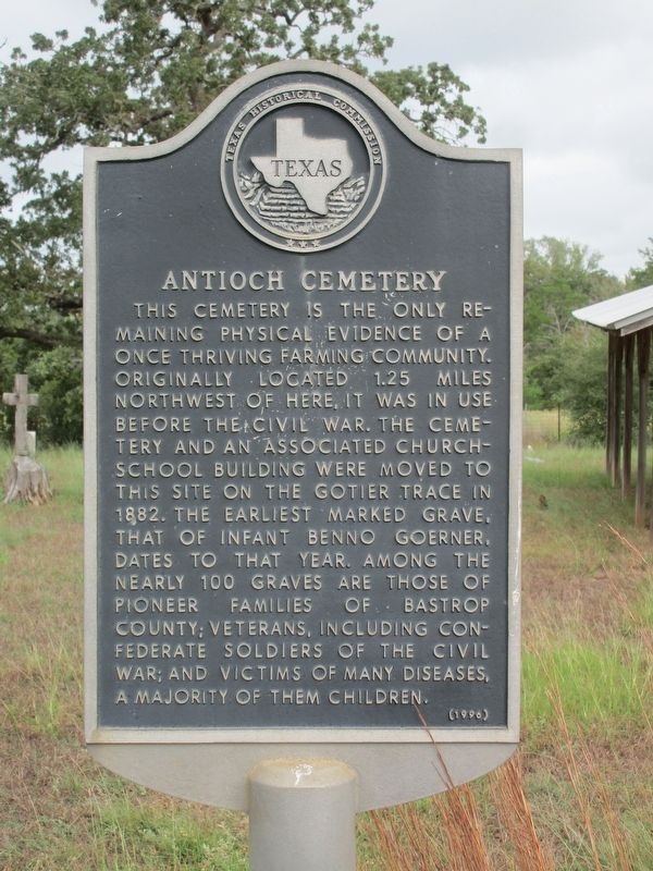
1. Antioch Cemetery Marker
This cemetery is the only remaining physical evidence of a once thriving farming community. Originally located 1.25 miles northwest of here, it was in use before the Civil War. The cemetery and an associated church-school building were moved to this site on the Gotier Trace in 1882. The earliest marked grave, that of infant Benno Goerner, dates to that year. Among the nearly 100 graves are those of pioneer families of Bastrop County; veterans, including Confederate soldiers of the Civil War; and victims of many diseases, a majority of them children.
Erected 1996 by Texas Historical Commission. (Marker Number 9148.)
Topics. This historical marker is listed in this topic list: Cemeteries & Burial Sites. A significant historical year for this entry is 1882.
Location. 30° 6.817′ N, 97° 11.085′ W. Marker is near Bastrop, Texas, in Bastrop County. It is at the intersection of Gotier Trace Road (County Road 154) and Antioch Road (County Road 146) on Gotier Trace Road. Touch for map. Marker is at or near this postal address: 884 Gotier Trace Rd, Bastrop TX 78602, United States of America. Touch for directions.

Regionally,
this page online
Other nearby markers. At least 8 other markers are within 7 miles of this marker, measured as the crow flies: Kings Highway Camino Real — Old San Antonio Road (approx. 3½ miles away); Alum Creek Cemetery (approx. 3.8 miles away); Captain John Campbell Hunt (approx. 5 miles away); The CCC at Bastrop State Park (approx. 5.9 miles away); Felipe Entrique Neri, Baron De Bastrop (approx. 5.9 miles away); a different marker also named Kings Highway Camino Real — Old San Antonio Road (approx. 6.3 miles away); The Gotier Trace (approx. 6½ miles away); Lost Pines of Texas (approx. 6½ miles away). Touch for a list and map of all markers in Bastrop.
Photographed by Jeff Leichsenring, October 13, 2026
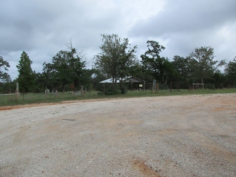
2. Antioch Cemetery and marker
Credits. This page was last revised on October 18, 2026. It was originally submitted on October 17, 2026, by Jeff Leichsenring of Garland, Texas. This page has been viewed 8 times since then. Photos: 1, 2. submitted on October 17, 2026, by Jeff Leichsenring of Garland, Texas. • James Hulse was the editor who published this page.
