Chesterfield in Chesterfield County, Virginia — The American South (Mid-Atlantic)
Sale of Enslaved People at Oakland
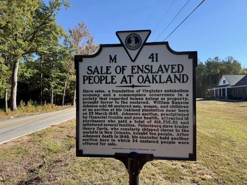
Photographed by Devry Becker Jones (CC0), October 18, 2026
1. Sale of Enslaved People at Oakland Marker
Slave sales, a foundation of Virginia's antebellum economy and a commonplace occurrence in a society that regarded human beings as property, brought terror to the enslaved. William Ransom Johnson sold 46 enslaved men, women, and children at an auction at his Oakland plantation near here on 25 March 1845. Johnson's auction, precipitated by financial trouble and poor health, attracted 18 purchasers who paid a total of $16,703.50 and splintered several families. Petersburg slave trader Henry Davis, who regularly shipped slaves to other markets in New Orleans, bought ten people. After Johnson's death in 1849, his executor held another auction here in which 24 enslaved people were offered for sale.
Erected 2021 by Department of Historic Resources. (Marker Number M-41.)
Topics and series. This historical marker is listed in these topic lists: African Americans • Agriculture • Industry & Commerce. In addition, it is included in the Virginia Department of Historic Resources (DHR) series list. A significant historical date for this entry is March 25, 1845.
Location. 37° 19.267′ N, 77° 45.016′ W. Marker is in Chesterfield, Virginia,
this page online

Regionally, this marker is in the Piedmont, in Central Virginia, and in the Richmond Metropolitan Area. It is also in the American South, specifically in the Upper South, and on the Eastern Seaboard. Globally, it is in the North Atlantic Region, North America, the Western Hemisphere, the Western World, and the Anglosphere. Historically, it finds itself in what was once the territory of the Mississippian Culture, one of the original Thirteen Colonies, one of the Confederate States of America, and the Antebellum South.
Other nearby markers. At least 8 other markers are within 6 miles of this marker, measured as the crow flies: William Ransom Johnson (1782-1849) (a few steps from this marker); a different marker also named Eppington (approx. 1.2 miles away); Clover Hill Mining District (approx. 4.8 miles away); Namozine Church
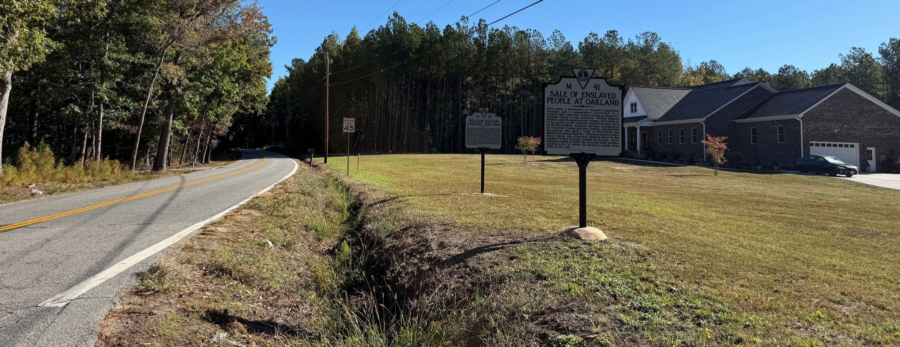
Photographed by Devry Becker Jones (CC0), October 18, 2026
2. Sale of Enslaved People at Oakland Marker
Other markers no longer nearby. William Ransom Johnson (was here, next to this marker but has been replaced with another marker now near it); Eppington (was approx. 1.2 miles away but has been replaced with another marker now near it).
Additional keywords. human trafficking
Credits. This page was last revised on October 18, 2026. It was originally submitted on October 18, 2026, by Devry Becker Jones of Washington, District of Columbia. This page has been viewed 6 times since then. Photos: 1, 2. submitted on October 18, 2026, by Devry Becker Jones of Washington, District of Columbia.
