Bures in Essex, England, United Kingdom — Northwestern Europe (the British Isles)
The History of Bures
Photographed by Ray Gurganus, April 18, 2026
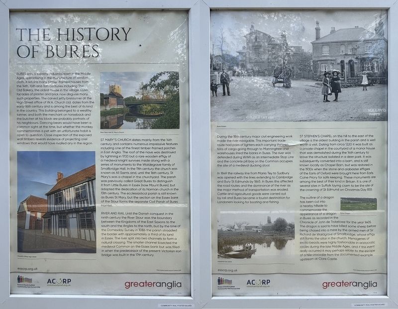
1. The History of Bures Marker
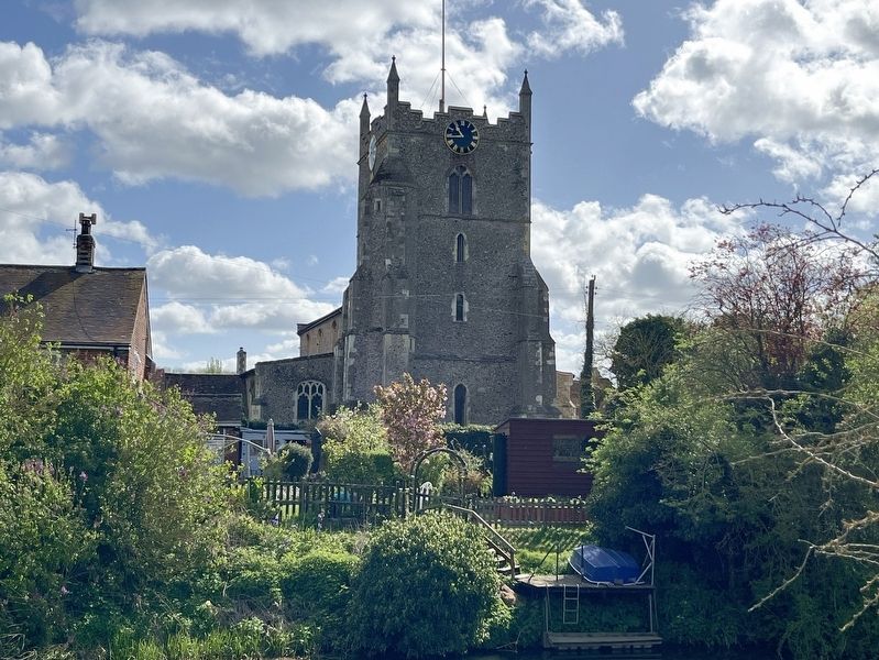
St Mary's Church dates mainly from the 14th century and contains numerous impressive features including one of the finest timber-framed porches in East Anglia. The roof of the nave was destroyed by lightning in 1733 but a rare wooden effigy
this page online
River and Rail
Until the Danish conquest in the ninth century the River Stour was the boundary between the Kingdoms of the East Saxons to the south and the Angles to the north, but by the time of the Domesday Survey in 1086 the parish straddled the border with approximately a third of its land in Essex. The river spit into two channels to form a natural crossing. The smaller channel bisected the medieval Common on the Essex bank but was filled in when the predecessor of the present Victorian iron bridge was built in the 17th century.
During the 18th century major
Geographer, courtesy Geograph Britain and Ireland, via Wikimedia Commons (CC ), October 4, 2019
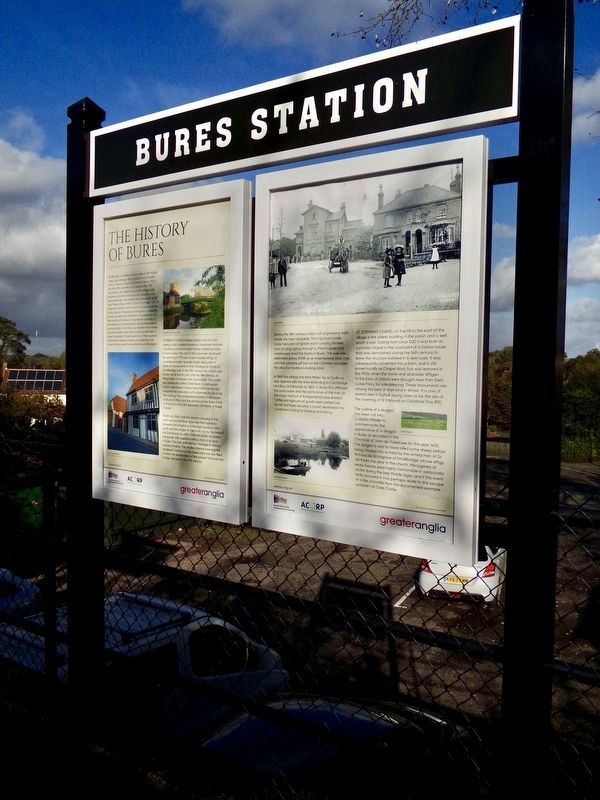
2. The History of Bures Marker
In 1869 the railway line from Marks Toy to Sudbury was opened with the lines extending to Cambridge and Bury St Edmunds by 1865. In Bures this affected the road routes and the dominance of the river as the major method of transportation was eroded. Cattle and agricultural goods were carried out by rail and Bures became a tourist destination for Londoners looking for boating and fishing.
St Stephen's Chapel on the hill to the east of the village is the oldest building in the parish and is well worth a visit. Dating from circa 1220 it was built as a private chapel in the courtyard of a manor house that was demolished during the 14th century to leave the structure isolated in a deer park. It was subsequently converted into a barn, and is still known locally as Chapel Barn but was
Photographed by Ray Gurganus, April 18, 2026
3. St Mary's Church
The outline of a dragon has been cut into a nearby hillside to commemorate the appearance of a dragon in Bures as recorded in the Chronicle of John de Trekelowe for the year 1405. The dragon is said to have killed some sheep before being chased into a mere by the armed men of Sir Richard de Waldgrave of Smallbridge, whose effigy still flanks the altar in the church. Menageries of exotic beasts were highly fashionable in aristocratic circles during the late Middle Ages, and if this event really occurred it may perhaps relate to the escape of a Nile crocodile from the documented example upstream at Clare Castle.
Erected by Greater Anglia.
Topics. This historical marker is listed in these topic lists: Railroads & Streetcars • Religion & Religious Structures • Settlements & Settlers • Waterways & Vessels.
Location. 51° 58.268′ N, 0° 46.151′ E. Marker is in Bures, England, in Essex. It can be reached from The Paddocks. The marker is located at the Bures Railway Station. Touch for map. Marker is at or near this postal address: 44 The Paddocks, Bures, England CO8 5DF, United Kingdom. Touch for directions.

Regionally, this marker is in the Greater South East. Globally, it is on the Atlantic Ocean, in the North Atlantic Region, in Europe, in Atlantic Europe, on one of the British Isles, in the Western World, and in the Anglosphere. Historically, it finds itself in what was once the Roman Empire.
Other nearby markers. At least 8 other markers are within 8 kilometers of this marker, measured as the crow flies: Bury St Edmunds Yard Signal Box (here, next to this marker); Thomas Gainsborough (a few steps from this marker); The History of Bures Common (about 240 meters away, measured in a direct line); The Stour Valley Path at Bures (approx. 0.3 kilometers away); The History of Chappel and Wakes Colne (approx. 5.1 kilometers away); A Short History of Beautiful Sudbury (approx. 7.6 kilometers away); Sudbury Station (approx. 7.6 kilometers away); The Lady Elizabeth (approx. 8 kilometers away). Touch for a list and map of all markers in Bures.
Credits. This page was last revised on November 1, 2026. It was originally submitted on October 19, 2026, by Ray Gurganus of Washington, District of Columbia. This page has been viewed 7 times since then. Photos: 1. submitted on October 19, 2026, by Ray Gurganus of Washington, District of Columbia. 2. submitted on November 1, 2026. 3. submitted on October 19, 2026, by Ray Gurganus of Washington, District of Columbia. • Andrew Ruppenstein was the editor who published this page.
