North Mankato in Nicollet County, Minnesota — The American Midwest (Upper Plains)
Cummings Ferry Landing
Photographed by Cameron Miller
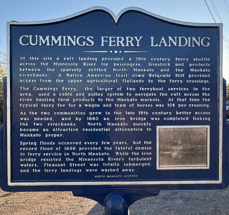
1. Cummings Ferry Landing Marker
The Cummings Ferry, the larger of two ferryboat services in the area, used a cable and pulley system to navigate the raft across the river hauling farm products to the Mankato markets. At that time the typical ferry fee for a wagon and team of horses was 10¢ per crossing.
As the two communities grew in the late 19th century better access was needed, and by 1880 an iron bridge was completed linking the two riverbanks. North Mankato quickly became an attractive residential alternative to Mankato proper.
Spring floods occurred every few years, but the record flood of 1886 provided the fateful demise to ferry service in North Mankato. While the iron bridge resisted the Minnesota River's turbulent waters, Pleasant Street was totally submerged, and the ferry landings were washed away.
Erected by North Mankato
this page online
Topics. This historical marker is listed in this topic list: Waterways & Vessels. A significant historical year for this entry is 1870.
Location. 44° 10.022′ N, 94° 1.705′ W. Marker is in North Mankato, Minnesota, in Nicollet County. It is at the intersection of Judson Bottom Road and Lookout Drive, on the left when traveling east on Judson Bottom Road. Touch for map. Marker is in this post office area: Mankato MN 56003, United States of America. Touch for directions.

Regionally, this marker is in Southwest Minnesota and specifically in the Minnesota River Valley. It is also in the American Midwest and in the Corn Belt. Globally, it is in North America, the Western Hemisphere, the Western World, and the Anglosphere. Historically, it finds itself in what was once Rupert’s Land, the territory of the Mississippian Culture, and the Louisiana Purchase.
Other nearby markers. At least 8 other markers are within walking distance of this marker: Geology of Minnesota (approx. half a mile away); Sibley Park World War I (approx. half a mile away); Sibley Park (approx. half a mile away); Ott Cabin (approx. half a mile away);
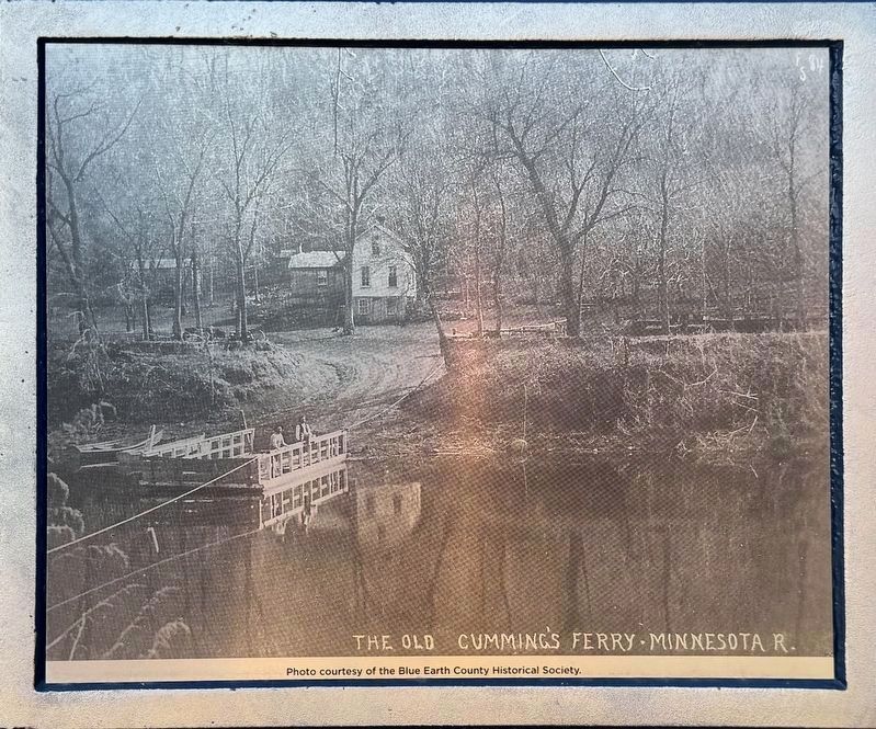
courtesy Blue Earth County Historical Society
2. Marker photo: The Old Cumming’s Ferry
Photographed by Cameron Miller
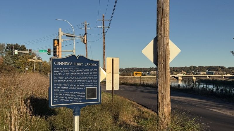
3. Cummings Ferry Landing Marker
Credits. This page was last revised on November 1, 2026. It was originally submitted on October 19, 2026, by Cameron Miller of North Mankato, Minnesota. This page has been viewed 10 times since then. Photos: 1, 2, 3. submitted on October 19, 2026, by Cameron Miller of North Mankato, Minnesota. • Andrew Ruppenstein was the editor who published this page.
