Wall in Pennington County, South Dakota — The American Midwest (Upper Plains)
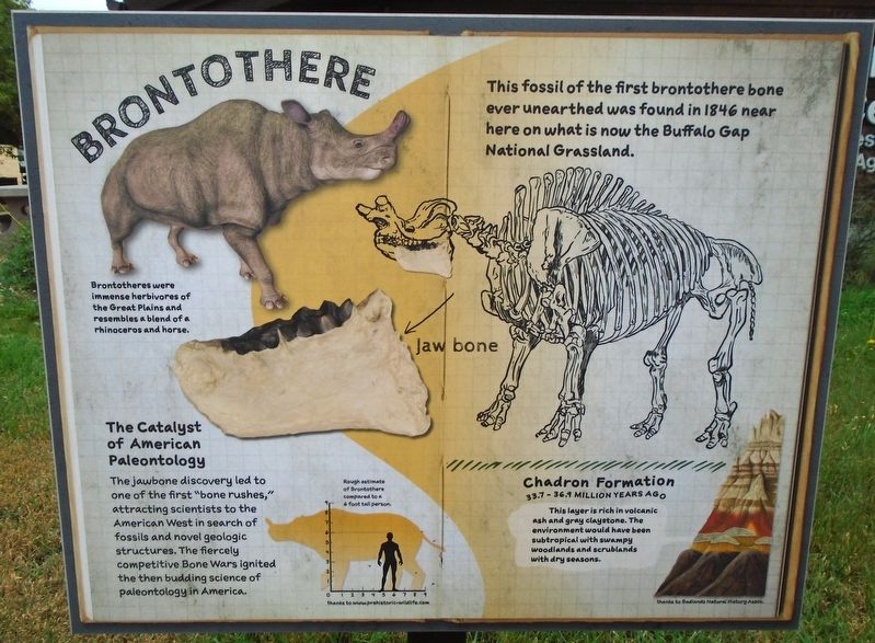
Brontothere
Photographed by William Fischer, Jr., September 19, 2026
1. Brontothere Marker
This fossil of the first brontothere bone ever unearthed was found in 1846 near here on what is now the Buffalo Gap National Grassland.
Jaw bone
The Catalyst of American Paleontology
The jawbone discovery led to one of the first "bone rushes," attracting scientists to the American West in search of fossils and novel geologic structures. The fiercely competitive Bone Wars ignited the then budding science of paleontology in America.
Brontotheres were immense herbivores of the Great Plains and resembles a blend of a rhinoceros and horse.
Chadron Formation [in Badlands strata illustration]
33.7-36.1 MILLION YEARS AGO
This layer is rich in volcanic ash and gray claystone. The environment would have been subtropical with swampy woodlands and scrublands with dry seasons.
[Silhouette drawing] Rough estimate of Brontothere compared to a 6 foot tall person.
Erected by US Forest Service and Badlands Natural History Association.
Topics. This historical marker is listed in these topic lists: Animals • Environment • Paleontology. A significant historical year for this entry is 1846.
Location. 43° 59.451′ N, 102° 14.488′ W.
this page online

Regionally, this marker is in West River, in the Badlands, and in Greater Rapid City. It is also in the American Lewis & Clark Corridor, on the prairies, and on the Northern Plains. Globally, it is in North America, the Western Hemisphere, the Western World, and the Anglosphere. Historically, it finds itself in what was once Rupert’s Land and also the Louisiana Purchase.
Other nearby markers. At least 8 other markers are within walking distance of this marker: Hoplophoneus (here, next to this marker); Plant Fossils (here, next to this marker); Ammonites (here, next to this marker); Mesoreodon (here, next to this marker); Mosasaur (here, next to this marker); Welcome to the National Grasslands (a few steps from this marker); St. Patrick's Parish Bell Tower (within shouting
Photographed by William Fischer, Jr., September 19, 2026
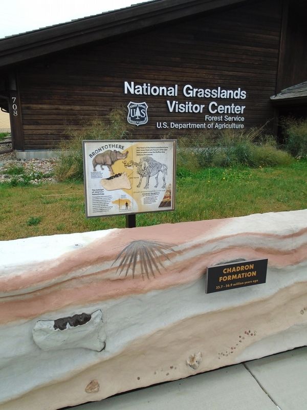
2. Brontothere Marker
Photographed by William Fischer, Jr., September 19, 2026
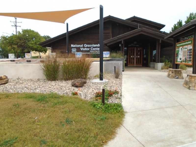
3. National Grasslands Visitor Center
Credits. This page was last revised on October 19, 2026. It was originally submitted on October 19, 2026, by William Fischer, Jr. of Reynoldsburg, Ohio. This page has been viewed 13 times since then. Photos: 1, 2, 3. submitted on October 19, 2026, by William Fischer, Jr. of Reynoldsburg, Ohio.
