Wall in Pennington County, South Dakota — The American Midwest (Upper Plains)
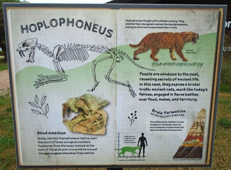
Hoplophoneus
Photographed by William Fischer, Jr., September 19, 2026
1. Hoplophoneus Marker
Hoplophoneus fought with ruthless cunning. They wielded their elongated canines like deadly weapons, aiming to blind and incapacitate their rivals.
Blind Ambition
Skulls, like this Hoplophoneus replica, bear the scars of these savage encounters. Punctures from the lower canines at the back of the skull and vicious marks around the eyes suggest ambushes from behind.
Fossils are windows to the past, revealing secrets of ancient life. In this case, they expose a brutal truth: ancient cats, much like today's felines, engaged in fierce battles over food, mates, and territory.
Brule Formation [in Badlands strata illustration]
30-33.7 MILLION YEARS AGO
Tan siltstone to reddish-brown mudstone. Forested riparian environments transformed into open scrubland and savannah.
[Silhouette drawing] Rough estimate of Hoplophoneus compared to a 6 foot tall person.
Erected by US Forest Service and Badlands Natural History Association.
Topics. This historical marker is listed in these topic lists: Animals • Environment • Paleontology.
Location. 43° 59.452′ N, 102° 14.487′ W.
this page online

Regionally, this marker is in West River, in the Badlands, and in Greater Rapid City. It is also in the American Lewis & Clark Corridor, on the prairies, and on the Northern Plains. Globally, it is in North America, the Western Hemisphere, the Western World, and the Anglosphere. Historically, it finds itself in what was once Rupert’s Land and also the Louisiana Purchase.
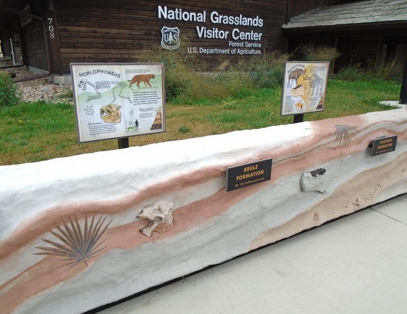
Other nearby markers. At least 8 other markers are within walking distance of this marker: Brontothere (here, next to this marker); Mesoreodon (here, next to this marker); Plant Fossils (here, next to this marker); Ammonites (here, next to this marker); Mosasaur (here, next to this marker); Welcome to the National Grasslands (a few steps from this marker); St. Patrick's Parish Bell Tower (within shouting
Photographed by William Fischer, Jr., September 19, 2026
2. Hoplophoneus Marker
Photographed by William Fischer, Jr., September 19, 2026
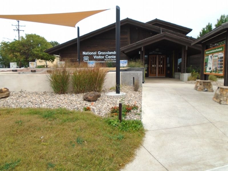
3. National Grasslands Visitor Center
Credits. This page was last revised on October 19, 2026. It was originally submitted on October 19, 2026, by William Fischer, Jr. of Reynoldsburg, Ohio. This page has been viewed 12 times since then. Photos: 1, 2, 3. submitted on October 19, 2026, by William Fischer, Jr. of Reynoldsburg, Ohio.
