Near Delavan in Tazewell County, Illinois — The American Midwest (Great Lakes)
James L. Reid
1844-1910
October 19, 2026
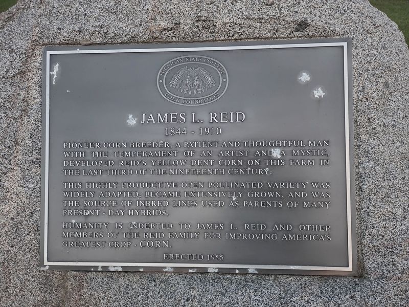
1. James L. Reid Marker
Pioneer corn breeder. A patient and thoughtful man with the temperament of an artist and a mystic. Developed Reid's yellow dent corn on this farm in the last third of the nineteenth century.
This highly productive open pollinated variety was widely adapted, became extensively grown, and was the source of inbred lines used as parents of many present-day hybrids.
Humanity is indebted to James L. Reid and other members of the Reid family for improving America's greatest crop - corn
Erected 1955 by Michigan State College Corn Foundation.
Topics. This historical marker is listed in this topic list: Agriculture. A significant historical year for this entry is 1910.
Location. 40° 23.649′ N, 89° 31.734′ W. Marker is near Delavan, Illinois, in Tazewell County. It is at the intersection of Springfield Road and Tomm Road (County Road 500N), on the left when traveling south on Springfield Road. Touch for map. Marker is at or near this postal address: 4999 Springfield Road, Delavan IL 61734, United States of America. Touch for directions.

Regionally, this marker is in the Illinois River Valley and in Greater Peoria.
this page online
Other nearby markers. At least 8 other markers are within 14 miles of this marker, measured as the crow flies: Abraham Lincoln - Eighth Judicial District (approx. 5.2 miles away); Tremont Courthouse (approx. 9.1 miles away); Allentown Union Hall (approx. 13.1 miles away); Pendergast Inn (approx. 13.3 miles away); Nance Legins-Costley (approx. 13.6 miles away); Tazewell County Remembers (approx. 13.6 miles away); Pvt. William Henry Costley (approx. 13.6 miles away); a different marker also named Abraham Lincoln - Eighth Judicial District (approx. 13.6 miles away).
Photographed by Annie Mathers, October 19, 2026
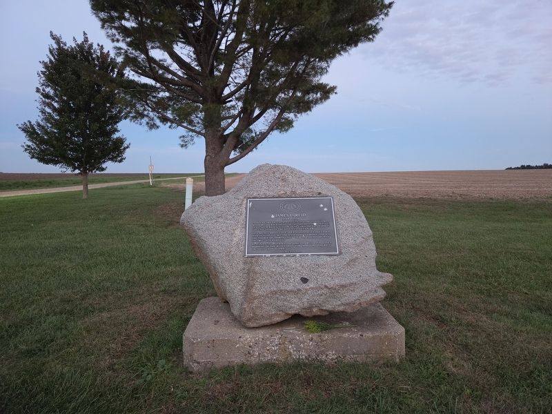
2. James L. Reid Marker, facing east
Photographed by Annie Mathers, October 19, 2026
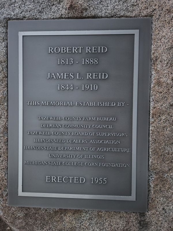
3. James L. Reid monument, reverse side marker
Credits. This page was last revised on October 21, 2026. It was originally submitted on October 19, 2026. This page has been viewed 15 times since then. Photos: 1. submitted on October 19, 2026. 2, 3. submitted on October 19, 2026, by Annie Mathers of Cook County, Illinois. • Devry Becker Jones was the editor who published this page.
