Wales Township in Goodells in St. Clair County, Michigan — The American Midwest (Great Lakes)
The County Farm
Photographed by Joel Seewald, September 26, 2026
1. The County Farm Marker
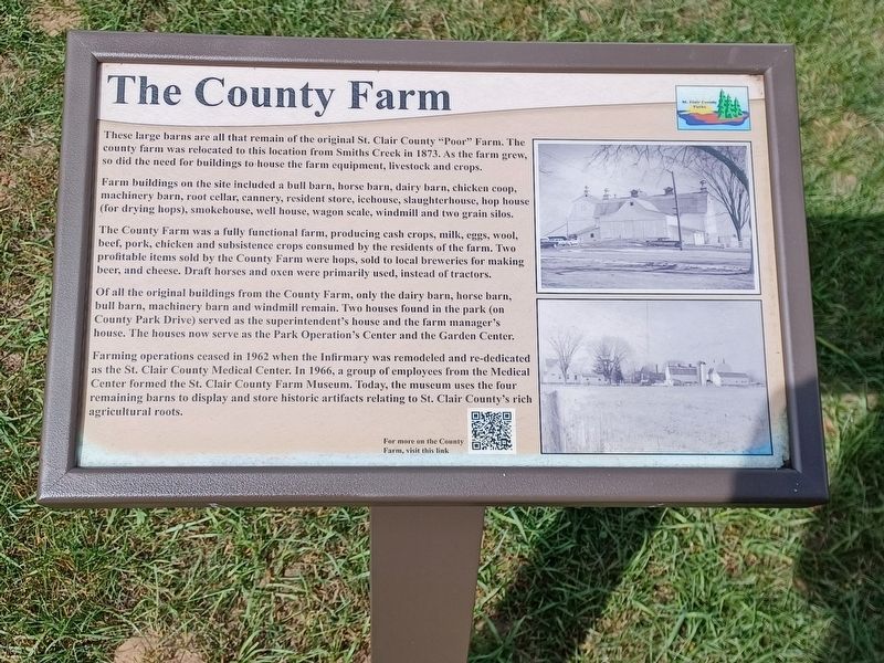
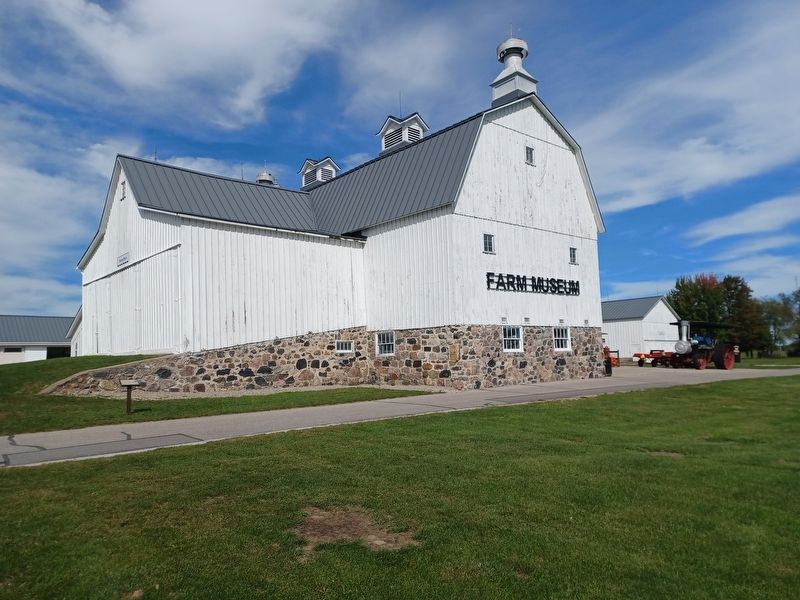
These large barns are all that remain of the original St. Clair County "Poor" Farm. The county farm was relocated to this location from Smiths Creek in 1873. As the farm grew, so did the need for buildings to house the farm equipment, livestock and crops.
Farm buildings on the site included a bull barn, horse barn, dairy barn, chicken coop, machinery barn, root cellar, cannery, resident store, icehouse, slaughterhouse, hop house (for drying hops), smokehouse, well house, wagon scale, windmill and two grain silos.
The County Farm was a fully functional farm, producing cash crops, milk, eggs, wool, beef, pork, chicken and subsistence crops consumed by the residents of the farm. Two profitable items sold by the County Farm were hops, sold to local breweries for making beer, and cheese. Draft horses and oxen were primarily used, instead of tractors.
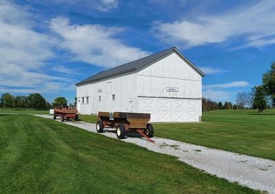
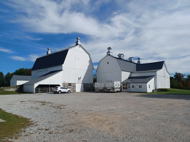
Of all the original buildings from the County Farm, only the dairy barn, horse barn, bull barn, machinery barn and windmill remain. Two houses found in the park (on County Park Drive) served as the superintendent's house and the farm manager's house. The houses now serve
this page online
Farming operations ceased in 1962 when the Infirmary was remodeled and re-dedicated as the St. Clair County Medical Center. In 1966, a group of employees from the Medical Center formed the St. Clair County Farm Museum. Today, the museum uses the four remaining barns to display and store historic artifacts relating to St. Clair County's rich agricultural roots.
Erected by St. Clair County Parks.
Topics. This historical marker is listed in these topic lists: Agriculture • Charity & Public Work • Industry & Commerce. A significant historical year for this entry is 1873.
Location. 42° 59.027′ N, 82° 39.439′ W. Marker is in Goodells, Michigan, in St. Clair County. It is in Wales Township. It can be reached from County Park Drive 0.4 miles east of Goodells Road, on the left when traveling east. Marker is at the Farm Museum in Goodells County Park. Touch for map. Marker is at or near this postal address: 8310 County Park Dr, Goodells MI 48027, United States of America. Touch for directions.

Regionally, this marker is in Southeast Michigan and in one of the Lake Huron Shore
Photographed by Joel Seewald, September 26, 2026
2. The County Farm Marker
Other nearby markers. At least 8 other markers are within 6 miles of this marker, measured as the crow flies: A different marker also named The County Farm (about 300 feet away, measured in a direct line); Murphy/Ryan Farmhouse (about 600 feet away); Columbus Bible Church (about 700 feet away); Mudge Log Cabin (about 700 feet away); Lynn Township School (about 800 feet away); C.C. Peck Bank (approx. 0.2 miles away); Wales Township Hall (approx. 3.1 miles away); Our Lady of Mount Carmel Parish / John F. Farrell (approx. 5½ miles away). Touch for a list and map of all markers in Goodells.
Photographed by Joel Seewald, September 26, 2026
3. Bull Barn
Photographed by Joel Seewald, September 26, 2026
4. Dairy and Horse Barns
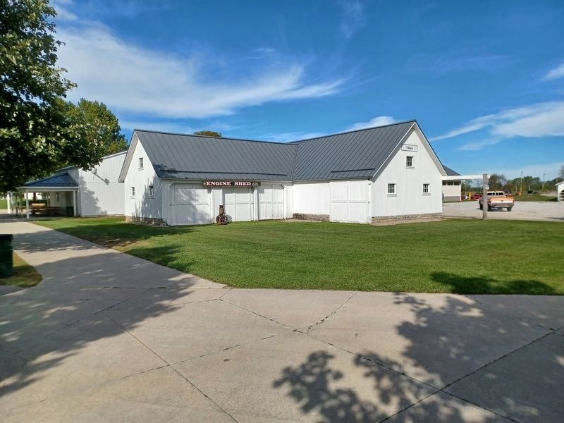
Photographed by Joel Seewald, September 26, 2026
5. Engine Shed/T-Barn
Credits. This page was last revised on October 20, 2026. It was originally submitted on October 20, 2026, by Joel Seewald of Madison Heights, Michigan. This page has been viewed 6 times since then. Photos: 1, 2, 3, 4, 5. submitted on October 20, 2026, by Joel Seewald of Madison Heights, Michigan.
