Norwich in Norfolk, England, United Kingdom — Northwestern Europe (the British Isles)
Cattle Market Street
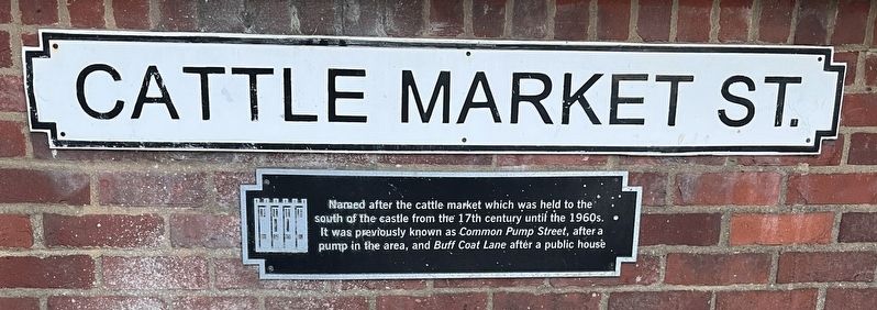
Photographed by Ray Gurganus, April 22, 2026
1. Cattle Market Street Marker
Topics. This historical marker is listed in these topic lists: Industry & Commerce • Roads & Vehicles.
Location. 52° 37.613′ N, 1° 17.847′ E. Marker is in Norwich, England, in Norfolk. It is at the intersection of Cattle Market Street and Castle Meadow, on the right when traveling south on Cattle Market Street. The marker is on a low brick retaining wall facing the street. Touch for map. Marker is at or near this postal address: 100 Castle Meadow, Norwich, England NR1 3LX, United Kingdom. Touch for directions.

Regionally, this marker is in East Anglia. Globally, it is on the Atlantic Ocean, in the North Atlantic Region, in Europe, in Atlantic Europe, on one of the British Isles, in the Western World, and in the Anglosphere. Historically, it finds itself in what was once the Roman Empire.
Other nearby markers. At least 8 other markers
this page online
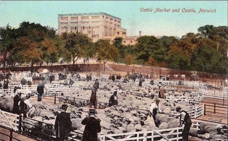
Photographed by John Valentine and Sons, Co., circa 1910
2. Cattle Market and Castle, Norwich
This photo was taken roughly 10-20 meters north of the marker site.
Credits. This page was last revised on October 31, 2026. It was originally submitted on October 20, 2026, by Ray Gurganus of Washington, District of Columbia. This page has been viewed 14 times since then. Photos: 1. submitted on October 20, 2026, by Ray Gurganus of Washington, District of Columbia. 2. submitted on October 31, 2026. • Andrew Ruppenstein was the editor who published this page.
