Salem in Great Falls in Cascade County, Montana — The American West (Mountains)
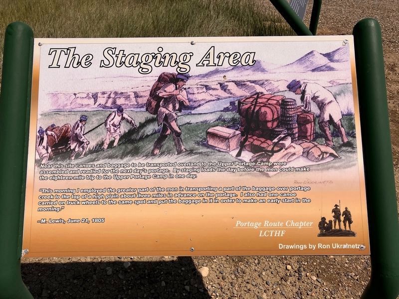
The Staging Area
Photographed by Barry Swackhamer, June 21, 2026
1. The Staging Area Marker
Drawings by Ron Ukrainetz
"This morning I employed the greater part of the men in transporting a part of the baggage over portage creek to the top of a high plain about three miles in advance on (sic) the portage. I also had one canoe carried on truck wheels to the same spot and put the baggage in it in order to make an early start in the morning." -- M. Lewis, June 21, 1805
Erected by Portage Route Chapter, Lewis and Clark Trail Alliance (formerly Lewis and Clark Trail Heritage Foundation).
Topics and series. This historical marker is listed in these topic lists: Exploration • Waterways & Vessels. In addition, it is included in the Lewis & Clark Expedition series list. A significant historical date for this entry is June 21, 1805.
Location. 47° 34.835′ N, 111° 2.467′ W. Marker is in Great Falls, Montana, in Cascade County. It is in Salem. It is on Salem Road near Highwood Road, on the left when traveling
this page online

Regionally, this marker is in andspecifically entral Montana in Russell Country. It is also in the American Mountain West and in the Lewis & Clark Corridor. Globally, it is in North America, the Rocky Mountains, the Western Hemisphere, the Western World, and the Anglosphere. Historically, it finds itself in what was once Rupert’s Land and also the Louisiana Purchase.
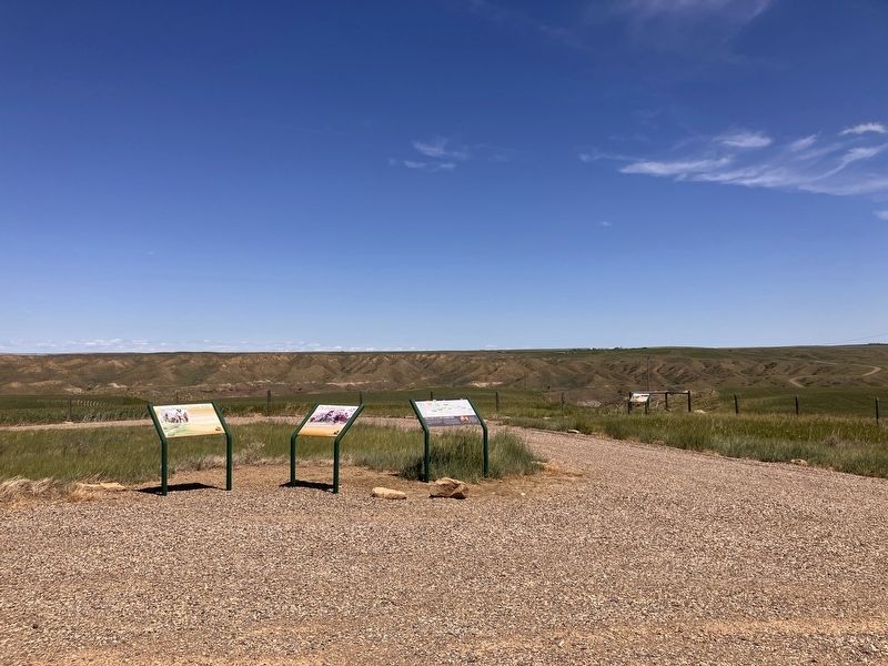
Other nearby markers. At least 8 other markers are within 2 miles of this marker, measured as the crow flies: Portaging the Great Falls (here, next to this marker); The Lewis and Clark Expedition (here, next to this marker); A Modern, Well-Armed Unit (a few steps from this marker); Deciding the Best Route (a few steps from this marker); Avenue to the Plains (within shouting distance of this marker); Keen Observers of Nature (within shouting distance of
Photographed by Barry Swackhamer, June 21, 2026
2. The Staging Area Marker
Credits. This page was last revised on October 21, 2026. It was originally submitted on October 21, 2026, by Barry Swackhamer of Brentwood, California. This page has been viewed 5 times since then. Photos: 1, 2. submitted on October 21, 2026, by Barry Swackhamer of Brentwood, California.
