Iroquois in South Dundas in Stormont Dundas and Glengarry United Counties, Ontario — Central Canada (North America)
The St. Lawrence Seaway
La Voie Maritime du Saint-Laurent
Photographed by Kevin Craft, October 6, 2026
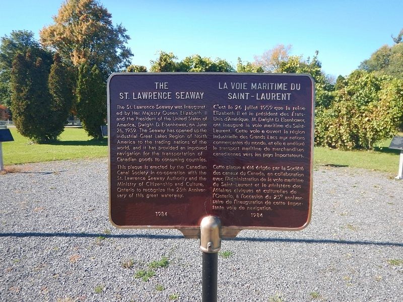
1. The St. Lawrence Seaway Marker
{English text}
The St. Lawrence Seaway was inaugurated by Her Majesty Queen Elizabeth II and the President of the United States of America, Dwight D. Eisenhower, on June 26, 1959. The Seaway has opened up the industrial Great Lakes Region of North America to the trading nations of the world, and it has provided an improved navigation for the transportation of Canadian goods to consuming countries.
{French text}
C'est le 26 juillet 1959 que la reine Elizabeth II et le président des États-Unis d'Amérique. M. Dwight D. Eisenhower, ont inauguré la voie maritime du Saint-Laurent. Cette voie a ouvert la région industrielle des Grands Lacs aux nations commerçantes du monde, et elle a amélioré le transport maritime de marchandises canadiennes vers les pays importateurs.
Erected by Canadian Canal Society in co-operation with the St. Lawrence Seaway Authority and the Ministry of Citizenship and Culture of Ontario.
Topics. This historical marker is listed in these topic lists: Industry & Commerce • Waterways & Vessels. A significant historical date for this entry is June 26, 1959.
Location. 44° 49.879′ N, 75° 18.842′ W. Marker is in South
this page online

Regionally, this marker is in Eastern Ontario. It is also in Central Canada. Globally, it is in North America, the Western Hemisphere, the Western World, and the Anglosphere. Historically, it finds itself in what was once a British colony, the Viceroyalty of New France, the Haudenosaunee (Iroquois) Confederacy, and Rupert’s Land.
Other nearby markers. At least 8 other markers are within 8 kilometers of this marker, measured as the crow flies: The Construction of the St. Lawrence Seaway (here, next to this marker); Fort Needless / Le Fort Inutile (a few steps from this marker); 1st Regiment of Dundas Militia / 1er Régiment de la milice de Dundas (a few steps from this marker); Capturing Point Iroquois / Prise de la Pointe des Iroquois (a few
Photographed by Kevin Craft, October 6, 2026
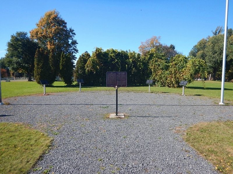
2. Wideview of The St. Lawrence Seaway Marker
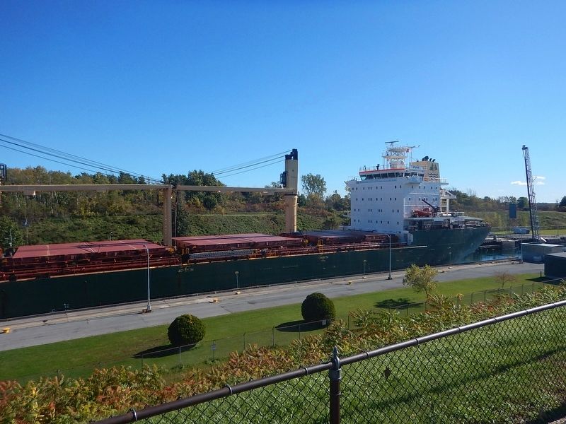
Regarding The St. Lawrence Seaway. While the drop from Lake Ontario to the St. Lawrence river is over 200 ft., the Iroquois lock only drops ships a whopping 12 inches before they proceed on their journey.
Also see . . . Wikipedia - St. Lawrence Seaway. (Submitted on October 21, 2026, by Kevin Craft of Bedford, Quebec.)
Photographed by Kevin Craft, October 6, 2026
3. View from the parking lot of ship passing through the lock
Credits. This page was last revised on October 21, 2026. It was originally submitted on October 21, 2026, by Kevin Craft of Bedford, Quebec. This page has been viewed 15 times since then. Photos: 1, 2, 3. submitted on October 21, 2026, by Kevin Craft of Bedford, Quebec.
