Iroquois in South Dundas in Stormont Dundas and Glengarry United Counties, Ontario — Central Canada (North America)
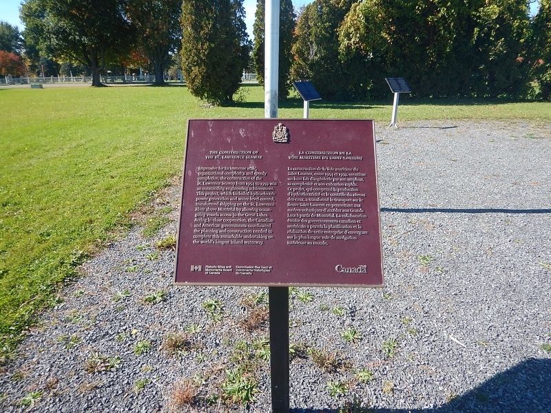
The Construction of the St. Lawrence Seaway
La Construction de la Voie Maritime du Saint-Laurent
Photographed by Kevin Craft, October 6, 2026
1. The Construction of the St. Lawrence Seaway Marker
{English text}
Impressive for its immense scale, organizational complexity and speedy completion, the construction of the St. Lawrence Seaway from 1954 to 1959 was an outstanding engineering achievement. This project, which included hydroelectric power generation and water-level control, transformed shipping on the St. Lawrence River above Montréal by allowing ocean-going vessels access to the Great Lakes. Acting in close cooperation, the Canadian and American governments coordinated the planning and construction needed to complete this remarkable undertaking on the world's longest inland waterway.
{French text}
La construction de la Voie maritime du Saint-Laurent, entre 1954 et 1959, constitue un haut fait d’ingénierie par son ampleur, sa complexité et son exécution rapide. Ce projet, qui comprend la production d’hydroélectricité et le contrôle du niveau des eaux, a transformé le transport sur le fleuve Saint-Laurent en permettant aux navires océaniques d’accéder aux Grands Lacs à partir de Montréal. La collaboration étroite des gouvernements canadien et américain a permis la planification et la réalisation de cette entreprise
this page online
Erected by Historic Sites and Monuments Board of Canada.
Topics. This historical marker is listed in these topic lists: Industry & Commerce • Waterways & Vessels.
Location. 44° 49.877′ N, 75° 18.843′ W. Marker is in South Dundas, Ontario, in Stormont Dundas and Glengarry United Counties. It is in Iroquois. It is on Carman Road 0.7 kilometers south of Boat House Road, on the right when traveling south. Touch for map. Marker is in this post office area: South Dundas ON K0E 1K0, Canada. Touch for directions.

Regionally, this marker is in Eastern Ontario. It is also in Central Canada. Globally, it is in North America, the Western Hemisphere, the Western World, and the Anglosphere. Historically, it finds itself in what was once a British colony, the Viceroyalty of New France, the Haudenosaunee (Iroquois) Confederacy, and Rupert’s Land.
Other nearby markers. At least 8 other markers are within 8 kilometers of this marker, measured as the crow flies: The St. Lawrence Seaway (here, next to
Photographed by Kevin Craft, October 6, 2026
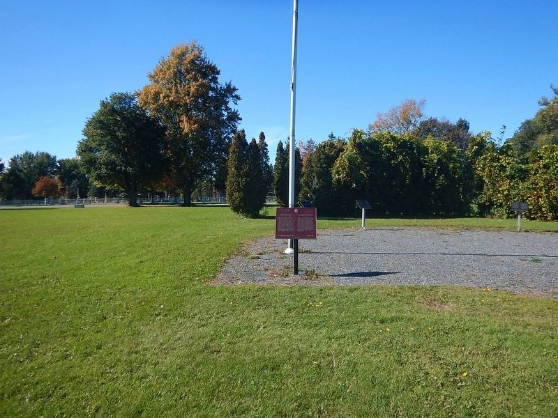
2. Wideview of The Construction of the St. Lawrence Seaway Marker
More about this marker. Marker is located adjacent the parking lot of the Iroquois Lock for the St. Lawrence Seaway
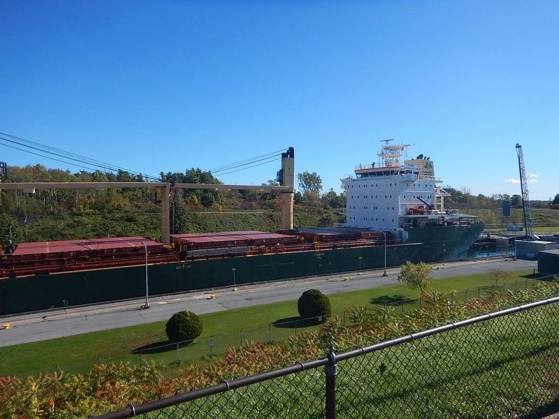
Regarding The Construction of the St. Lawrence Seaway. While the drop from Lake Ontario to the St. Lawrence river is over 200 ft., the Iroquois lock only drops ships a whopping 12 inches before they proceed on their journey
Also see . . . Wikipedia - St. Lawrence Seaway. (Submitted on October 21, 2026, by Kevin Craft of Bedford, Quebec.)
Photographed by Kevin Craft, October 6, 2026
3. View from the parking lot of ship passing through the lock
Credits. This page was last revised on October 21, 2026. It was originally submitted on October 21, 2026, by Kevin Craft of Bedford, Quebec. This page has been viewed 11 times since then. Photos: 1, 2, 3. submitted on October 21, 2026, by Kevin Craft of Bedford, Quebec.
