Battle Ground in Tippecanoe County, Indiana — The American Midwest (Great Lakes)
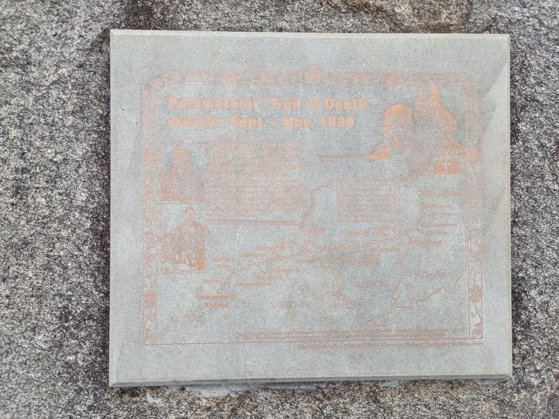
Potawatomi "Trail of Death" march: Sept. - Nov. 1838
Photographed by Craig Doda, September 13, 2026
1. Potawatomi "Trail of Death" march: Sept. - Nov. 1838 Marker
Designates 1838 Potawatomi "Trail of Death" route starting in Indiana, crossing Illinois and Missouri, and ending at present day Osawatomie, Kansas.
In September 1838 over 850 Potawatomi Indian people were rounded up and marched at gunpoint from their Indiana homeland. Many walked the 660-mile distance, which took two months. More than 40 died, mostly children, of typhoid fever and the stress of the forced removal.
O Dots on Trail are some of the 48 places where the Potawatomi people camped one night or more on the forced removal, according to the official journal kept by a government agent.
Twin Lakes • Rochester • Logansport • Battle Ground • Lafayette • Williamsport • Danville • Sidney • Springfield • Monticello • Decatur • Jacksonville • Exeter • Quincy • Paris • Palmyra • Huntsville • Keytesville • Lexington • Carrollton • Independence • Kansas City • Paola • Osawatomie • Kansas • Kansas • Missouri • Illinois • Indiana • Mississippi River
People shown here were all Potawatomi painted by artist Geo. Winter in 1837. All went to Kansas in either 1837 or 1838. Reproduced with permission of Tippecanoe County
this page online
Topics. This historical marker is listed in this topic list: Indigenous Peoples and Communities. A significant historical month for this entry is September 1838.
Location. 40° 30.387′ N, 86° 50.641′ W. Marker is in Battle Ground, Indiana, in Tippecanoe County. It is at the intersection of Battleground Avenue and North 9th Street, on the right when traveling north on Battleground Avenue. Touch for map. Marker is at or near this postal address: 200 Battleground Ave, Battle Ground IN 47920, United States of America. Touch for directions.

Regionally, this marker is in Central Indiana. It is also in the American Midwest and in the Corn Belt. Globally, it is in North America, the Western Hemisphere, the Western World, and the Anglosphere. Historically, it finds itself in what was once the Viceroyalty of New France, the territory of the Mississippian Culture, and the Northwest Territory.
Other nearby markers. At least 8 other markers are within walking distance of this marker: Potawatomi ‘Trail of Death’ Route (here,
Photographed by Craig Doda, September 13, 2026
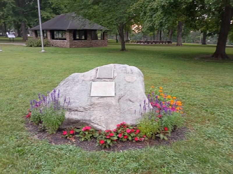
2. Potawatomi "Trail of Death" march: Sept. - Nov. 1838 Marker
Credits. This page was last revised on October 23, 2026. It was originally submitted on October 22, 2026, by Craig Doda of Napoleon, Ohio. This page has been viewed 8 times since then. Photos: 1, 2. submitted on October 22, 2026, by Craig Doda of Napoleon, Ohio. • Devry Becker Jones was the editor who published this page.
