Tippecanoe Township near Battle Ground in Tippecanoe County, Indiana — The American Midwest (Great Lakes)
Indiana State Parks
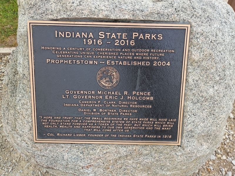
1916 - 2016
Photographed by Craig Doda, September 13, 2026
1. Indiana State Parks Marker
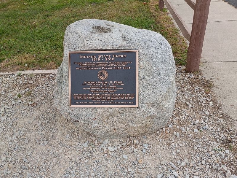
Honoring a century of conservation and outdoor recreation. Celebrating unique, cherished places where future generations can experience nature and history.
Seal of the State of Indiana 1816
Governor Michael R. Pence • Lt. Governor Eric J. Holcomb • Cameron F. Clark, Director - Indiana Department of Natural Resources • Daniel W. Bortner, Director - Division of State Parks
"I hope and trust that the small beginning we have made will have laid the foundation for a comprehensive system of state parks which will not only stand forever as a token of the past, but which will bring health, wealth and happiness to our own generation and the many that will come after us."
- Col. Richard Lieber, Founder of the Indiana State Parks in 1916
Topics. This historical marker is listed in this topic list: Parks & Recreational Areas. A significant historical year for this entry is 2004.
Location. 40° 30.035′ N, 86° 49.746′ W. Marker is near Battle Ground, Indiana, in Tippecanoe County. It is in Tippecanoe Township. It is at the intersection of Indiana Route 225 and North 9th Street, on the right
this page online

Regionally, this marker is in Central Indiana. It is also in the American Midwest and in the Corn Belt. Globally, it is in North America, the Western Hemisphere, the Western World, and the Anglosphere. Historically, it finds itself in what was once the Viceroyalty of New France, the territory of the Mississippian Culture, and the Northwest Territory.
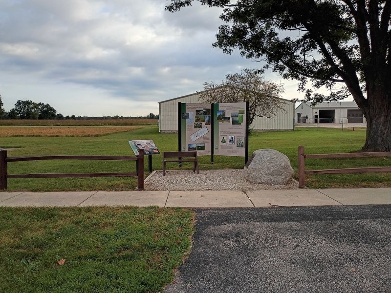
Other nearby markers. At least 8 other markers are within walking distance of this marker: The Prophetstown Story (here, next to this marker); Indiana State Parks: the First 100 Years (here, next to this marker); Welcome to Prophetstown State Park (here, next to this marker); Medicine Lodge (approx. 0.2 miles away); Chief's Cabin (approx. 0.2 miles away); Woodland Indian Settlement (approx. 0.2 miles away); Village Structures (approx. 0.2 miles away); Granary (approx. 0.2 miles away). Touch for a list and map of all markers in Battle Ground.
Photographed by Craig Doda, September 13, 2026
2. Indiana State Parks Marker
Photographed by Craig Doda, September 13, 2026
3. Indiana State Parks Marker
Credits. This page was last revised on October 28, 2026. It was originally submitted on October 22, 2026, by Craig Doda of Napoleon, Ohio. This page has been viewed 12 times since then. Photos: 1, 2, 3. submitted on October 22, 2026, by Craig Doda of Napoleon, Ohio. • Devry Becker Jones was the editor who published this page.
