Tippecanoe Township near Battle Ground in Tippecanoe County, Indiana — The American Midwest (Great Lakes)
Chief's Cabin
Photographed by Craig Doda, September 13, 2026
1. Chief's Cabin Marker
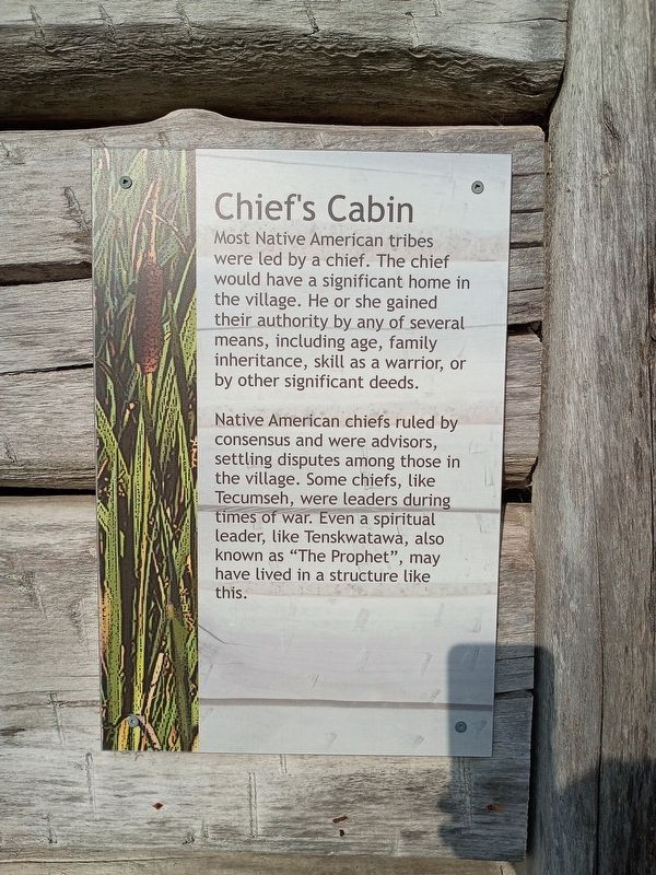
Most Native American tribes were led by a chief. The chief would have a significant home in the village. He or she gained their authority by any of several means, including age, family inheritance, skill as a warrior, or by other significant deeds.
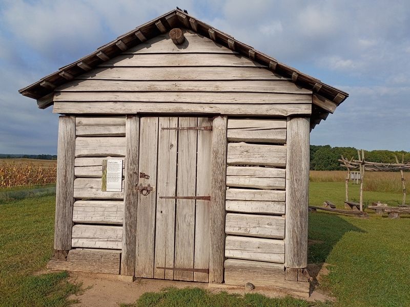
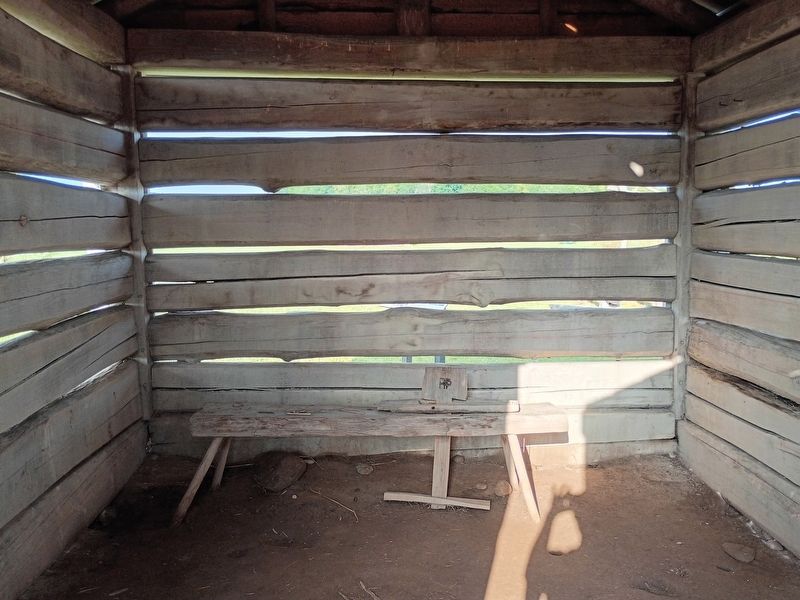
Native American chiefs ruled by consensus and were advisors, settling disputes among those in the village. Some chiefs, like Tecumseh, were leaders during times of war. Even a spiritual leader, like Tenskwatawa, also known as "The Prophet", may have lived in a structure like this.
Topics. This historical marker is listed in these topic lists: Architecture • Government & Politics • Indigenous Peoples and Communities.
Location. 40° 29.902′ N, 86° 49.771′ W. Marker is near Battle Ground, Indiana, in Tippecanoe County. It is in Tippecanoe Township. It is at the intersection of Indiana Route 225 and Pretty Prairie Road, on the right when traveling south on Indiana Route 225. Touch for map. Marker is at or near this postal address: 4265 State Route 225, Battle Ground IN 47920, United States of America. Touch for directions.

Regionally,
this page online
Other nearby markers. At least 8 other markers are within walking distance of this marker: Village Structures (a few steps from this marker); Medicine Lodge (a few steps from this marker); Granary (within shouting distance of this marker); Woodland Indian Settlement (within shouting distance of this marker); Indiana State Parks (approx. 0.2 miles away); The Prophetstown Story (approx. 0.2 miles away); Indiana State Parks: the First 100 Years (approx. 0.2 miles away); Welcome to Prophetstown State Park (approx. 0.2 miles away). Touch for a list and map of all markers in Battle Ground.
Photographed by Craig Doda, September 13, 2026
2. Chief's Cabin Marker
Photographed by Craig Doda, September 13, 2026
3. Chief's Cabin Marker
Credits. This page was last revised on October 30, 2026. It was originally submitted on October 22, 2026, by Craig Doda of Napoleon, Ohio. This page has been viewed 12 times since then. Photos: 1, 2, 3. submitted on October 22, 2026, by Craig Doda of Napoleon, Ohio. • Devry Becker Jones was the editor who published this page.
