Cornplanter Township near Pleasantville in Venango County, Pennsylvania — The American Northeast (Mid-Atlantic)
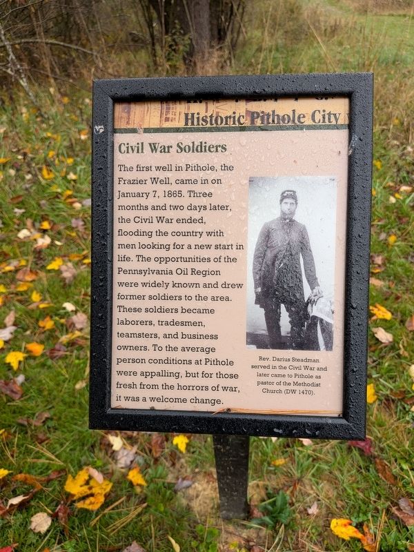
Civil War Soldiers
Historic Pithole City
Photographed by Richard Peterson, October 14, 2026
1. Civil War Soldiers Marker
(caption) Rev. Darius Steadman served in the Civil War and later came to Pithole as pastor of the Methodist Church (DW 1470).
Erected 2026.
Topics. This historical marker is listed in these topic lists: Industry & Commerce • Settlements & Settlers • War, US Civil. A significant historical date for this entry is April 7, 1865.
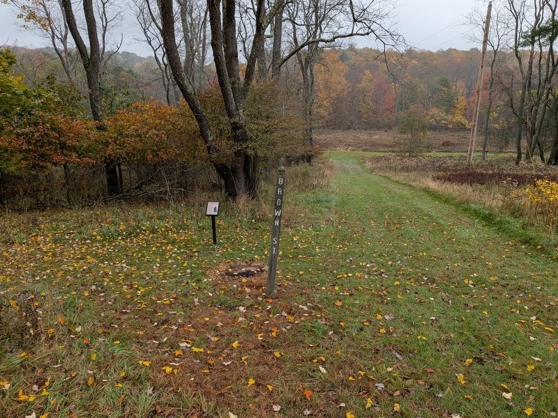
Location. 41° 31.462′ N, 79° 34.822′ W. Marker is near Pleasantville, Pennsylvania, in Venango County. It is in Cornplanter Township. It can be reached from Pithole Road 2.3 miles east of Rouseville Road (Pennsylvania Route 227), on the right when traveling north. Marker located 100 yards northeast of
this page online

Regionally, this marker is in Northwestern Pennsylvania. It is also in the American Northeast, in the Mid-Atlantic, in Appalachia, and specifically in Northern Appalachia. Globally, it is in North America, the Western Hemisphere, the Western World, and the Anglosphere. Historically, it finds itself in what was once the Viceroyalty of New France, the Haudenosaunee (Iroquois) Confederacy, and one of the original Thirteen Colonies.
Other nearby markers. At least 8 other markers are within 5 miles of this marker, measured as the crow flies: Photographers (within shouting distance of this marker); Boomed and Gone (within shouting distance of this marker); Pithole City Vanishes (about 300 feet away, measured in a direct line); Pithole City (about 400 feet away); Pithole (about 500 feet away); First Oil Pipeline (approx. 2 miles away); a different marker also named Pithole (approx. 2.1 miles away); John Franklin Carll (approx. 4.6 miles away).
Photographed by Richard Peterson, October 14, 2026
2. Civil War Soldiers Marker
Also see . . .
1. Historic Pithole City. Drake Well Museum and Park (Submitted on October 24, 2026.)
2. Pithole, Pennsylvania. Wikipedia (Submitted on October 24, 2026.)
Credits. This page was last revised on October 24, 2026. It was originally submitted on October 22, 2026, by Richard Peterson of East Windsor, New Jersey. This page has been viewed 18 times since then. Photos: 1, 2. submitted on October 22, 2026, by Richard Peterson of East Windsor, New Jersey. • Bernard Fisher was the editor who published this page.
