La Salle Township in Monroe County, Michigan — The American Midwest (Great Lakes)
Roselawn Memorial Park
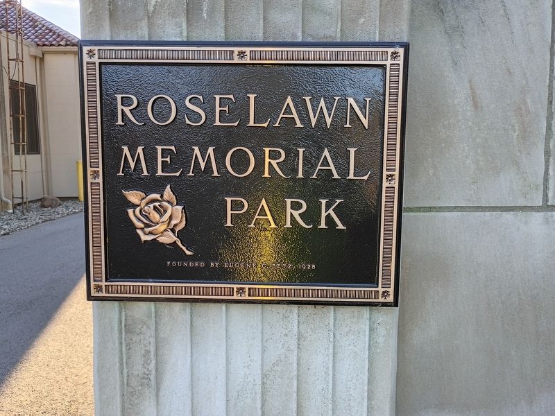
Photographed by Craig Doda, October 18, 2026
1. Roselawn Memorial Park Marker
Topics. This historical marker is listed in this topic list: Cemeteries & Burial Sites. A significant historical year for this entry is 1928.
Location. 41° 51.692′ N, 83° 27.457′ W. Marker is near La Salle, Michigan, in Monroe County. It is in La Salle Township. It is at the intersection of South Dixie Highway and Swartz Road, on the right when traveling north on South Dixie Highway. Touch for map. Marker is at or near this postal address: 13200 S Dixie Hwy, La Salle MI 48145, United States of America. Touch for directions.

Regionally, this marker is in Southeast Michigan and in Greater Detroit. It is also in the American Midwest. Globally, it is in North America, on the Great Lakes, in the Western Hemisphere, in the Western World, and in the Anglosphere. Historically, it finds itself in what was once the Northwest Territory.
Other nearby markers. At least 8 other markers are within 4 miles of this marker, measured as the crow flies: Vietnam Veterans Memorial (about 300 feet away, measured in a direct line); Monroe County Veterans Memorial (about 500 feet away); LaSalle Township FD 9/11 Memorial
this page online
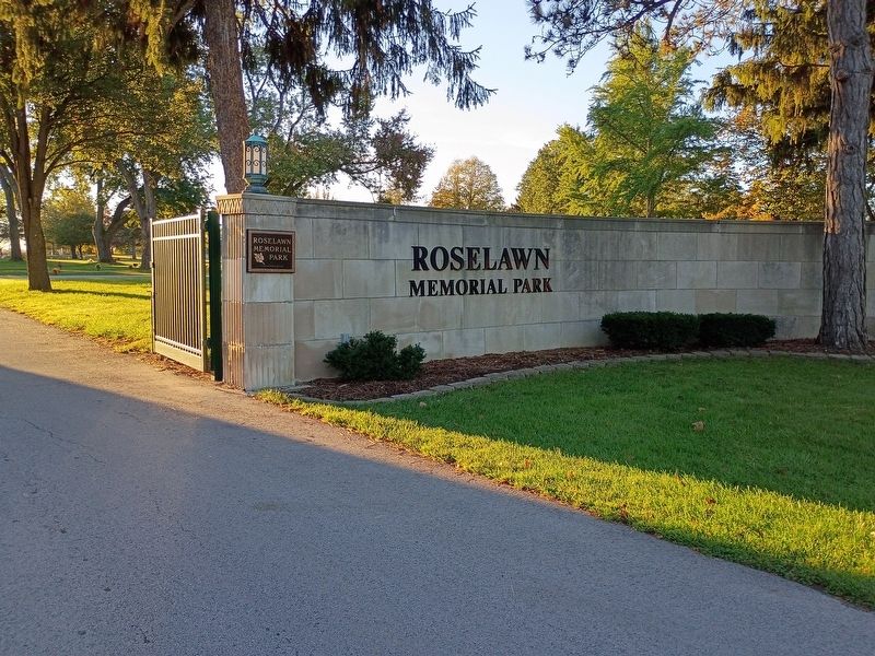
Photographed by Craig Doda, October 18, 2026
2. Roselawn Memorial Park Marker
Credits. This page was last revised on November 10, 2026. It was originally submitted on October 22, 2026, by Craig Doda of Napoleon, Ohio. This page has been viewed 7 times since then. Photos: 1, 2. submitted on October 22, 2026, by Craig Doda of Napoleon, Ohio. • J. Makali Bruton was the editor who published this page.
