Pittsburg in Crawford County, Kansas — The American Midwest (Upper Plains)
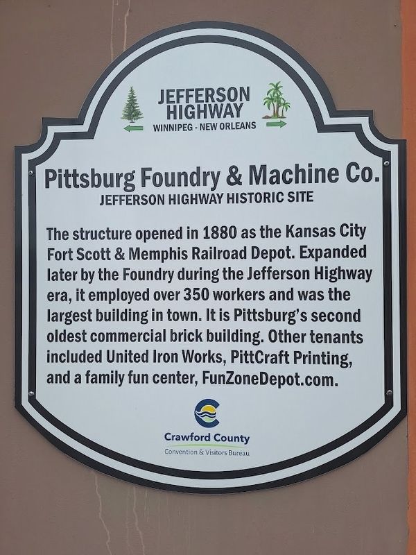
Pittsburg Foundry & Machine Co.
Jefferson Highway Historic Site
Photographed by Jason Voigt, September 22, 2026
1. Pittsburg Foundry & Machine Co. Marker
The structure opened in 1880 as the Kansas City Fort Scott & Memphis Railroad Depot. Expanded later by the Foundry during the Jefferson Highway era, it employed over 350 workers and was the largest building in town. It is Pittsburg's second oldest commercial brick building. Other tenants included United Iron Works, PittCraft Printing, and a family fun center, FunZoneDepot.com.
Erected by Crawford County Convention & Visitors Bureau and Jefferson Highway Association.
Topics and series. This historical marker is listed in these topic lists: Industry & Commerce • Railroads & Streetcars • Roads & Vehicles. In addition, it is included in the Jefferson Highway series list. A significant historical year for this entry is 1880.
Location. 37° 24.534′ N, 94° 42.191′ W. Marker is in Pittsburg, Kansas, in Crawford County. It is on North Locust Street north of East 1st Street, on the right when traveling north. Touch for map. Marker is at or near this postal address: 106 N Locust St, Pittsburg KS 66762, United States of America. Touch for directions.

Regionally, this marker is in Eastern Kansas and specifically in
this page online
Other nearby markers. At least 8 other markers are within walking distance of this marker: Immigrant Park (about 800 feet away, measured in a direct line); Frisco Freight/Passenger Depot (about 800 feet away); The Amazon Army (approx. 0.2 miles away); Jefferson Highway Garage (approx. 0.2 miles away); Alexander Howat (approx. 0.2 miles away); Wilkinson Coal Company (approx. 0.2 miles away); The Weir-Pittsburg Coal Field in Cherokee County (approx. 0.2 miles away); Frontenac, Kansas (approx. 0.2 miles away). Touch for a list and map of all markers in Pittsburg.
Photographed by Jason Voigt, September 22, 2026
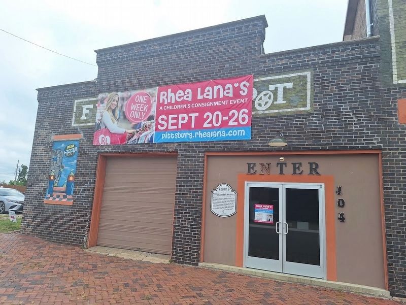
2. Pittsburg Foundry & Machine Co. Marker
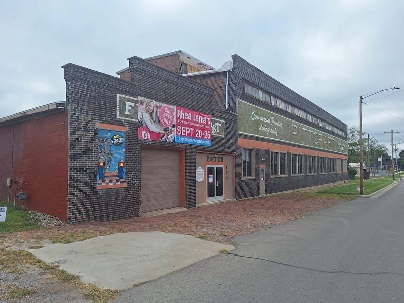
Building is now a consignment shop.
Photographed by Jason Voigt, September 22, 2026
3. Pittsburg Foundry & Machine Co. Marker
Credits. This page was last revised on October 22, 2026. It was originally submitted on October 22, 2026, by Jason Voigt of Glen Carbon, Illinois. This page has been viewed 5 times since then. Photos: 1, 2, 3. submitted on October 22, 2026, by Jason Voigt of Glen Carbon, Illinois.
