Glencoe in Wildwood in St. Louis County, Missouri — The American Midwest (Upper Plains)
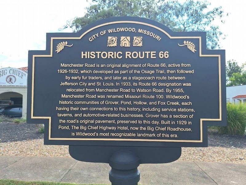
Historic Route 66
City of Wildwood, Missouri
Photographed by Jason Voigt, September 26, 2026
1. Historic Route 66 Marker
Manchester Road is an original alignment of Route 66, active from 1926-1932, which developed as part of the Osage Trail, then followed by early fur traders, and later as a stagecoach route between Jefferson City and St. Louis. In 1933, its Route 66 designation was relocated from Manchester Road to Watson Road. By 1955, Manchester Road was renamed Missouri Route 100. Wildwood's historic communities of Grover, Pond, Hollow, and Fox Creek, each having their own connections to this history, including service stations, taverns, and automobile-related businesses. Grover has a section of the road's original pavement, preserved to this day. Built in 1929 in Pond, The Big Chief Highway Hotel, not the Big Chief Roadhouse, is Wildwood's most recognizable landmark of this area.
Erected 2026 by City of Wildwood.
Topics and series. This historical marker is listed in these topic lists: Industry & Commerce • Roads & Vehicles. In addition, it is included in the U.S. Route 66 series list. A significant historical year for this entry is 1933.
Location. 38° 34.883′ N, 90° 39.63′ W. Marker is in Wildwood, Missouri, in St. Louis County.
this page online

Regionally, this marker is in Greater St. Louis. It is also in the American Midwest, in the Lewis & Clark Corridor, in the Corn Belt, and in the Great River Road Region. Globally, it is in North America, the Western Hemisphere, the Western World, and the Anglosphere. Historically, it finds itself in what was once the Viceroyalty of New France, the territory of the Mississippian Culture, the Louisiana Purchase, and the Antebellum South.
Other nearby markers. At least 8 other markers are within 4 miles of this marker, measured as the crow flies: Historic Pond (approx. 0.8 miles away); Lime Kiln (approx. 1.2 miles away); Historic Grover (approx. 1.4 miles away); Doctor Edmund A. Babler (approx. 3 miles away); Historic Glencoe (approx. 3.2 miles away); Historic Hollow (approx. 3.3 miles away); Meramec Greenway - Rock Hollow Trail (approx.
Photographed by Jason Voigt, September 26, 2026
2. Historic Route 66 Marker
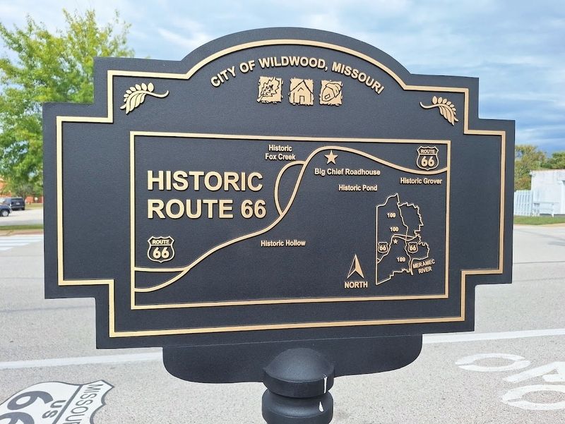
Back of the marker features a map
More about this marker. Marker was unveiled and dedicated on July 19, 2026.
Photographed by Jason Voigt, September 26, 2026
3. Historic Route 66 Marker
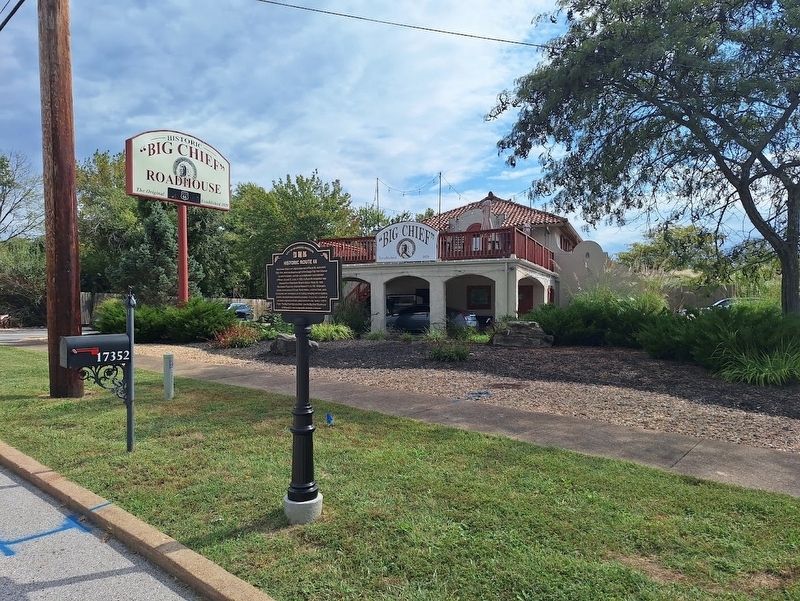
In front of Big Chief Roadhouse
Credits. This page was last revised on October 23, 2026. It was originally submitted on October 23, 2026, by Jason Voigt of Glen Carbon, Illinois. This page has been viewed 5 times since then. Photos: 1, 2, 3. submitted on October 23, 2026, by Jason Voigt of Glen Carbon, Illinois.
