Chappell in Deuel County, Nebraska — The American Midwest (Upper Plains)
The Pony Express
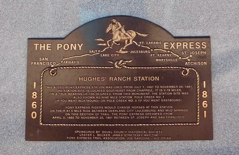
Hughes' Ranch Station
Photographed by Susan Van Den Bosch, June 6, 2021
1. The Pony Express Marker
Pony Express riders would change horses at this station on their 61.5 mile ride between Overland City (Juleburg) and Mud Springs on this section of the trail. The Pony Express operated from April 3, 1860 to November 20, 1861 between St. Joseph and San Francisco.
Erected by Deuel County Historical Society, Lester L. Becker, James Stretsky and the Pony express Trail Association, Joe Nardone - Historian.
Topics and series. This historical marker is listed in these topic lists: Communications • Roads & Vehicles. In addition, it is included in the Pony Express National Historic Trail series list. A significant historical date for this entry is April 3, 1860.
Location. 41° 5.018′ N, 102° 28.267′ W. Marker is in Chappell, Nebraska, in Deuel County. It is on County Route 25A near Airport
this page online

Regionally, this marker is in the Nebraska Panhandle. It is also in the American Midwest, in the Corn Belt, on the prairies, on the Great Plains, and specifically on the High Plains. Globally, it is in North America, the Western Hemisphere, the Western World, and the Anglosphere. Historically, it finds itself in what was once the Louisiana Purchase.
Other nearby markers. At least 8 other markers are within 10 miles of this marker, measured as the crow flies: Historic Lodgepole Creek Valley (a few steps from this marker); B-24J Bomber Crash (within shouting distance of this marker); Yesteryear (approx. 0.7 miles away); Moments in History (approx. 0.7 miles away); Hughes’ Ranch Pony Express Station (approx. 3½ miles away); "Dinky" Locomotive (approx. 9.4 miles away in Colorado); Ovid, Colorado (approx. 9½ miles away in Colorado); See and Do,Off the Byway (approx. 9.6 miles away in Colorado). Touch for a list and map of all markers in Chappell.
Photographed by Susan Van Den Bosch, June 6, 2021
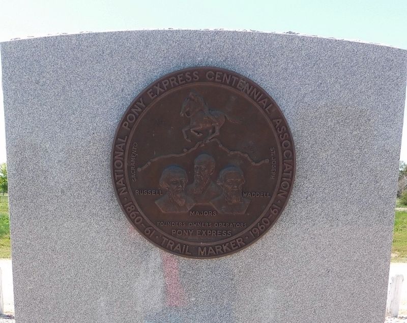
2. National Pony Express Centennial Association
1860-61 Trail Marker 1960-61
Founders Owners Operators
Russell Majors Waddell
Founders Owners Operators
Russell Majors Waddell
Photographed by Susan Van Den Bosch, June 6, 2021
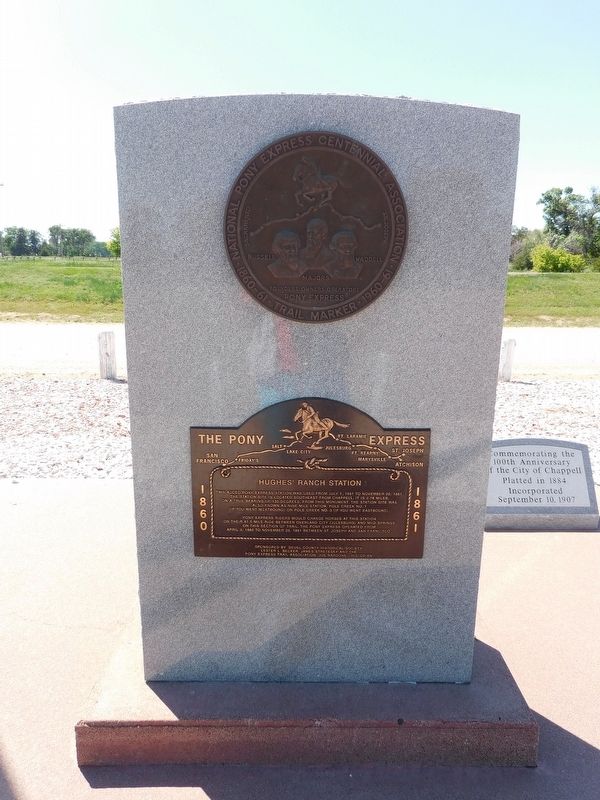
3. The Pony Express Marker
Photographed by Susan Van Den Bosch, June 6, 2021
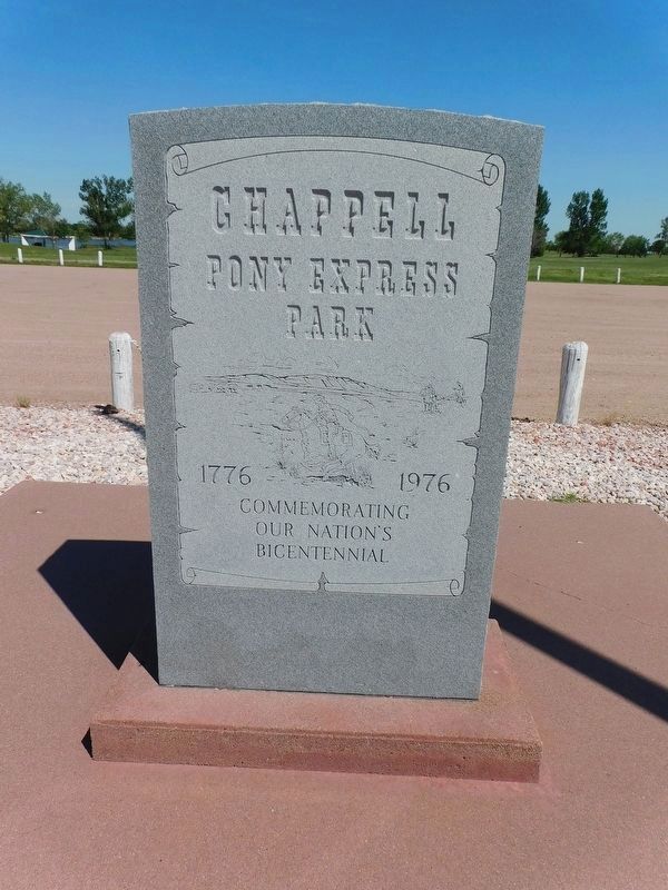
4. Chappell Pony Express Park
Commemorating
Our Nation's
Bicentennial
Credits. This page was last revised on October 31, 2026. It was originally submitted on October 23, 2026, by Susan Van Den Bosch of Almond, Wisconsin. This page has been viewed 15 times since then. Photos: 1, 2, 3, 4. submitted on October 23, 2026, by Susan Van Den Bosch of Almond, Wisconsin. • Andrew Ruppenstein was the editor who published this page.
