Riddells Creek in Macedon Ranges Shire, Victoria, Australia — Oceania
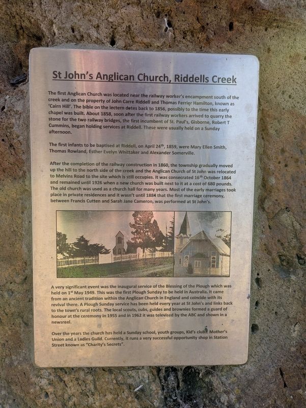
St John's Anglican Church, Riddells Creek
Photographed by Dean Barton-Ancliffe, September 8, 2026
1. St John's Anglican Church, Riddells Creek Marker
The first infants to be baptised at Riddell, on April 24th, 1859, were Mary Ellen Smith, Thomas Rowland, Esther Evelyn Whittaker and Alexander Somerville.
After the completion of the railway construction in 1860, the township gradually moved up the hill to the north side of the creek and the Anglican Church of St John was relocated to Melvins Road to the site which is still occupies. It was consecrated 16th October 1864 and remained until 1926 when a new church was built next to it at a cost of 680 pounds. The old church was used as a church hall for many years. Most of the early marriages
this page online
A very significant event was the inaugural service of the Blessing of the Plough which was held on 1t May 1949. This was the first Plough Sunday to be held in Australia. It came from an ancient tradition within the Anglican Church in England and coincide with its revival there. A Plough Sunday service has been held every year at St John's and links back to the town's rural roots. The local scouts, cubs, guides and brownies formed a guard of honour at the ceremony in 1955 and in 1962 it was televised by the ABC and shown in a newsreel.
Over the years the church has held a Sunday school, youth groups, Kid's clubs Mother's Union and a Ladies Guild. Currently, it runs a very successful opportunity shop in Station Street known as "Charity's Secrets".
Topics. This historical marker is listed in these topic lists: Colonial Era • Religion & Religious Structures • Settlements & Settlers. A significant historical year for this entry is 1856.
Location. 37° 27.738′ S, 144° 40.673′ E.
Photographed by Dean Barton-Ancliffe, September 8, 2026
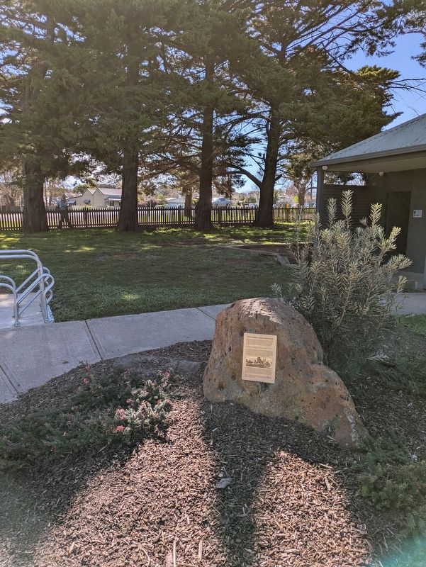
2. St John's Anglican Church, Riddells Creek Marker in the Lions Park

Regionally, it is in Oceania, in Australasia, in the Pacific Ocean, in South Pacific, on the Pacific Rim, in the Western World, and in the Anglosphere. Historically, it finds itself in what was once a British colony.
Other nearby markers. At least 8 other markers are within 18 kilometers of this marker, measured as the crow flies: The Stonemasons and Samuel Amess (within shouting distance of this marker); Community Mosaic Columns - Riddells Creek (about 90 meters away, measured in a direct line); Robbie's Walk (approx. 17.6 kilometers away); Traditional Owners (approx. 17.6 kilometers away); Woodend War Memorial Plaque (approx. 17.7 kilometers away); Woodend Memorial Clock Tower (approx. 17.7 kilometers away); Woodend Memorial Clock Tower - World War II (approx. 17.7 kilometers away); Woodend Memorial Clock Tower - World War I (approx. 17.7 kilometers away). Touch for a list and map of all markers in Riddells Creek.
Credits. This page was last revised on October 24, 2026. It was originally submitted on October 23, 2026, by Dean Barton-Ancliffe of Rowville, Victoria. This page has been viewed 3 times since then. Photos: 1, 2. submitted on October 23, 2026, by Dean Barton-Ancliffe of Rowville, Victoria. • Andrew Ruppenstein was the editor who published this page.
