Guernsey in Platte County, Wyoming — The American West (Mountains)
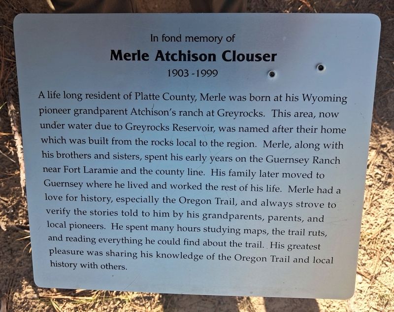
Merle Atchison Clouser
1903-1999
| — | In fond memory of | — |
Photographed by William Fischer, Jr., September 27, 2026
1. Merle Atchison Clouser Marker
A life long resident of Platte County, Merle was born at his Wyoming pioneer grandparent Atchison's ranch at Greyrocks. This area, now under water due to Greyrocks Reservoir, was named after their home which was built from the rocks local to the region. Merle, along with his brothers and sisters, spent his early years on the Guernsey Ranch near Fort Laramie and the county line. His family later moved to Guernsey where he lived and worked the rest of his life. Merle had a love for history, especially the Oregon Trail, and always strove to verify the stories told to him by his grandparents, parents, and local pioneers. He spent many hours studying maps, the trail ruts, and reading everything he could find about the trail. His greatest pleasure was sharing his knowledge of the Oregon Trail and local history with others.
Topics. This historical marker is listed in these topic lists: Communications • Education • Roads & Vehicles • Settlements & Settlers. A significant historical date for this entry is September 16, 1999.
Location. 42° 15.389′ N, 104° 44.93′ W. Marker is in Guernsey, Wyoming, in Platte County. Marker
this page online

Regionally, this marker is in the Laramie Basin and in the Westward Expansion Trails Region. It is also in the American Mountain West, on the Great Plains, and specifically on the High Plains. Globally, it is in North America, the Western Hemisphere, the Western World, and the Anglosphere. Historically, it finds itself in what was once the Louisiana Purchase.
Other nearby markers. At least 8 other markers are within walking distance of this marker: The US Army’s Role in Protecting the Oregon Trail is Best Described by the Soldiers (a few steps from this marker); Forts, Stations, and Camps (within shouting distance of this marker); The United States Army and the Oregon Trail (within shouting distance of this marker); Oregon Trail Ruts State Historic Site (within shouting distance of this marker); Oregon Trail Ruts (within shouting distance of this marker); a different marker also named Oregon Trail Ruts (within shouting
Photographed by William Fischer, Jr., September 27, 2026
2. Merle Atchison Clouser Marker
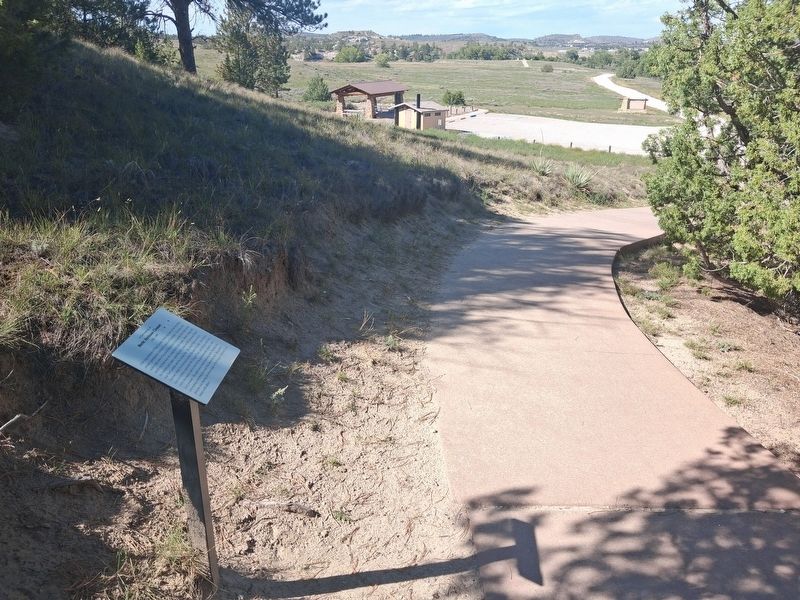
Looking toward the site's parking area.
Photographed by William Fischer, Jr., September 27, 2026
3. Merle Atchison Clouser Marker
Credits. This page was last revised on October 23, 2026. It was originally submitted on October 23, 2026, by William Fischer, Jr. of Reynoldsburg, Ohio. This page has been viewed 4 times since then. Photos: 1, 2, 3. submitted on October 23, 2026, by William Fischer, Jr. of Reynoldsburg, Ohio.
