Concordia in Lafayette County, Missouri — The American Midwest (Upper Plains)
The Dwight D. Eisenhower Highway
“Father of the Interstate Highway System”
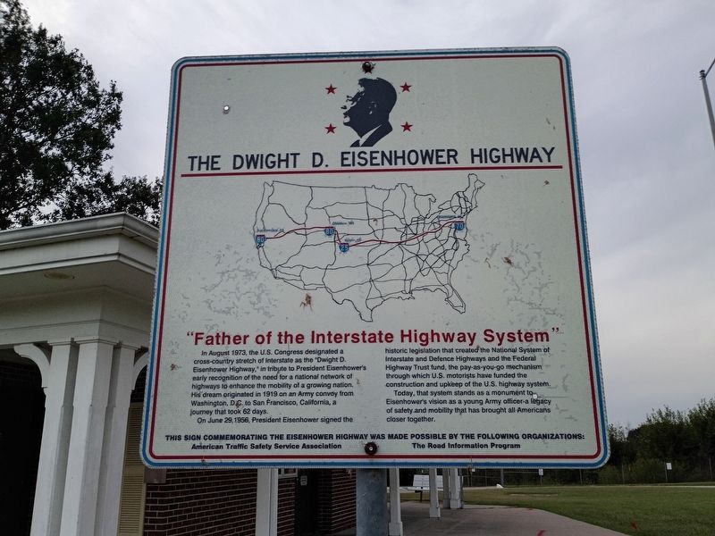
Photographed by Craig Doda, September 12, 2026
1. The Dwight D. Eisenhower Highway Marker
In August 1973, the U.S. Congress designated a cross-country stretch of Interstate as the “Dwight D. Eisenhower Highway,” in tribute to President Eisenhower’s early recognition of the need for a national network of highways to enhance the mobility of a growing nation. His dream originated in 1919 on an Army convoy from Washington, D.C. to San Francisco, California, a journey that took 62 days.
On June 29, 1956, President Eisenhower signed the historic legislation that created the National System of Interstate and Defense Highways and the Federal Highway Trust fund, the pay-as-you-go mechanism through which U.S. motorists have funded the construction and upkeep of the U.S. highway system. Today, that system stands as a monument to Eisenhower’s vision as a young Army officer-a legacy of safety and mobility that has brought all Americans closer together.
Erected by American Traffic Safety Service Association; The Road Information Program.
Topics. This historical marker is listed in this topic list: Roads & Vehicles. A significant historical date for this entry is June 29, 1956.
Location. 38° 59.692′ N, 93° 35.214′ W. Marker
this page online

Regionally, this marker is in the Missouri River Corridor. It is also in the American Midwest, in the Lewis & Clark Corridor, in the Corn Belt, and on the Santa Fe Trail Corridor. Globally, it is in North America, the Western Hemisphere, the Western World, and the Anglosphere. Historically, it finds itself in what was once the territory of the Mississippian Culture, the Louisiana Purchase, and the Antebellum South.
Other nearby markers. At least 8 other markers are within 2 miles of this marker, measured as the crow flies: This Rest Area is maintained through an Extended Employment Sheltered Workshop (a few steps from this marker); a different marker also named The Dwight D. Eisenhower Highway (approx. 0.2 miles away); St. Paul's College (approx. 1.1 miles away); Civil War Casualties (approx. 1.2 miles away);
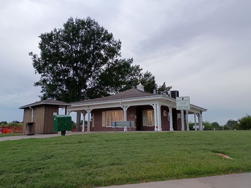
Photographed by Craig Doda, September 12, 2026
2. The Dwight D. Eisenhower Highway Marker
Credits. This page was last revised on November 3, 2026. It was originally submitted on October 24, 2026, by Craig Doda of Napoleon, Ohio. This page has been viewed 9 times since then. Photos: 1, 2. submitted on October 24, 2026, by Craig Doda of Napoleon, Ohio. • Devry Becker Jones was the editor who published this page.
