Concordia in Lafayette County, Missouri — The American Midwest (Upper Plains)
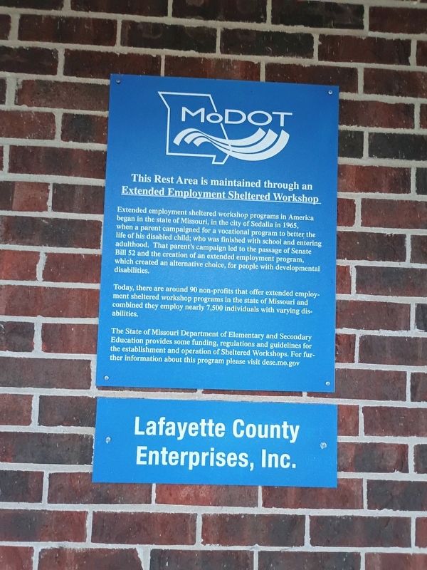
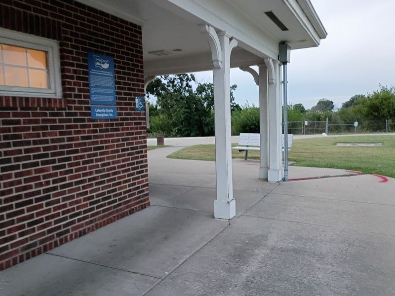
This Rest Area is maintained through an Extended Employment Sheltered Workshop
Photographed by Craig Doda, September 12, 2026
1. This Rest Area is maintained through an Extended Employment Sheltered Workshop Marker
Extended employment sheltered workshop programs in America began in the state of Missouri, in the city of Sedalia in 1965, when a parent campaigned for a vocational program to better the life of his disabled child; who was finished with school and entering adulthood. That parent's campaign led to the passage of Senate Bill 52 and the creation of an extended employment program, which created an alternative choice, for people with developmental disabilities.
Today, there are around 90 non-profits that offer extended employment sheltered workshop programs in the state of Missouri and combined they employ nearly 7,500 individuals with varying disabilities.
The State of Missouri Department of Elementary and Secondary Education provides some funding, regulations and guidelines for the establishment and operation of Sheltered Workshops. For further information about this program please visit dese.mo.gov
Erected by Missouri Department of Transportation; Lafayette County Enterprises, Inc.
Topics. This historical marker is listed in these topic lists: Charity & Public Work • Education • Roads & Vehicles. A significant historical year for this entry is 1965.
Location. 38° 59.688′ N,
this page online

Regionally, this marker is in the Missouri River Corridor. It is also in the American Midwest, in the Lewis & Clark Corridor, in the Corn Belt, and on the Santa Fe Trail Corridor. Globally, it is in North America, the Western Hemisphere, the Western World, and the Anglosphere. Historically, it finds itself in what was once the territory of the Mississippian Culture, the Louisiana Purchase, and the Antebellum South.
Other nearby markers. At least 8 other markers are within 2 miles of this marker, measured as the crow flies: The Dwight D. Eisenhower Highway (a few steps from this marker); a different marker also named The Dwight D. Eisenhower Highway (approx. 0.2 miles away); St. Paul's College (approx. 1.1 miles away); Civil War Casualties (approx. 1.2
Photographed by Craig Doda, September 12, 2026
2. This Rest Area is maintained through an Extended Employment Sheltered Workshop Marker
Credits. This page was last revised on November 3, 2026. It was originally submitted on October 24, 2026, by Craig Doda of Napoleon, Ohio. This page has been viewed 12 times since then. Photos: 1, 2. submitted on October 24, 2026, by Craig Doda of Napoleon, Ohio. • Devry Becker Jones was the editor who published this page.
