Lingle in Goshen County, Wyoming — The American West (Mountains)
Lingle Bandshell
Photographed by William Fischer, Jr., September 27, 2026
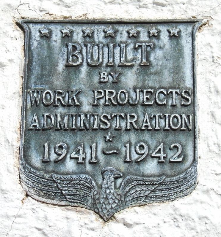
1. Lingle Bandshell WPA Marker
Built by
Works Projects
Administration
1941~1942
————————
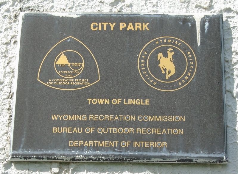
City Park
Erected 1942 by Works Projects Administration.
Topics. This historical marker is listed in these topic lists: Entertainment • Parks & Recreational Areas. A significant historical year for this entry is 1942.
Location. 42° 8.245′ N, 104° 20.788′ W. Marker is in Lingle, Wyoming, in Goshen County. It is on 4th Avenue (Heartland Expressway) (U.S. 26) west of Main Street (Heartland Expressway) (U.S. 26), on the right when traveling west. Touch for map. Marker is in this post office area: Lingle WY 82223, United States of America. Touch for directions.

Regionally, this marker is in the Laramie Basin and in the Westward Expansion Trails Region. It is also in the American Mountain West, on the Great Plains, and specifically on the High Plains. Globally, it is in North America, the Western Hemisphere, the Western World, and the Anglosphere. Historically, it finds itself in what was once the Louisiana Purchase.
Other nearby markers. At least 8 other markers are within 10 miles of this marker, measured as the crow flies: Mormon Pioneer Trail
this page online
Photographed by William Fischer, Jr., September 27, 2026
2. City Park Marker
On side of Bandshell
Photographed by William Fischer, Jr., September 27, 2026
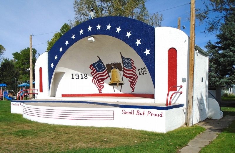
3. Lingle Bandshell and Markers
Photographed by William Fischer, Jr., September 27, 2026
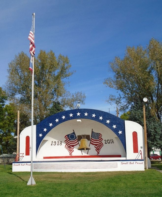
4. Lingle Bandshell
Credits. This page was last revised on October 24, 2026. It was originally submitted on October 24, 2026, by William Fischer, Jr. of Reynoldsburg, Ohio. This page has been viewed 6 times since then. Photos: 1, 2, 3, 4. submitted on October 24, 2026, by William Fischer, Jr. of Reynoldsburg, Ohio.
