Guilford in Windham County, Vermont — The American Northeast (New England)
Broad Brook Grange Hall
Photographed by Dennis Gilkenson, October 22, 2026
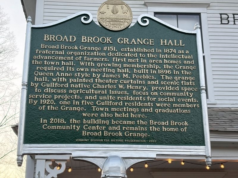
1. Broad Brook Grange Hall Marker
Broad Brook Grange #151, established in 1874 as a fraternal organization dedicated to the intellectual advancement of farmers. first met in area homes and the town hall. With growing membership. the Grange required its own meeting hall, built in 1896 in the Queen Anne style by James M. Peebles. The grange hall, with painted theater curtains and scenic flats by Guilford native Charles W. Henry, provided space to discuss agricultural issues, focus on community service projects, and unite residents for social events. By 1920, one in five Guilford residents were members of the Grange. Town meetings and graduations were also held here. In 2018, the building became the Broad Brook Community Center and remains the home of Broad Brook Grange.
Erected 2022 by Vermont Division for Historic Preservation.
Topics. This historical marker is listed in this topic list: Agriculture. A significant historical year for this entry is 1894.
Location. 42° 47.62′ N, 72° 37.459′ W. Marker is in Guilford, Vermont, in Windham County. It is on Guilford Center Road north of Carpenter Hill Road, on the left when traveling north. Touch for map.
this page online

Regionally, this marker is in the Connecticut River Valley, in the Green Mountains, and in Southern Vermont. It is also in the American Northeast and in New England. Globally, it is in North America, the Western Hemisphere, the Western World, and the Anglosphere. Historically, it finds itself in what was once the Vermont Republic.
Other nearby markers. At least 8 other markers are within 5 miles of this marker, measured as the crow flies: Royall Tyler (about 700 feet away, measured in a direct line); Broad Brook House (approx. 3 miles away); The Dam at Franklin Pond (approx. 3 miles away); Abijah and Lucy Terry Prince (approx. 3.2 miles away); Vermont’s Interstate Highway System (approx. 3.2 miles away); Glenwood Seminary and Brattleborough Academy (approx. 4.3 miles away); Mary Wilkins Freeman (approx. 4.3 miles away); Creamery Bridge Native Plant Restoration Project (approx. 4.3 miles away). Touch for a list and map of all markers in Guilford.
Photographed by Dennis Gilkenson, October 22, 2026
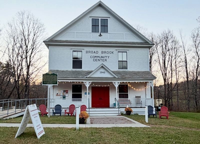
2. Broad Brook Grange Hall
Now the Broad Brook Community Center
Photographed by Dennis Gilkenson, October 22, 2026
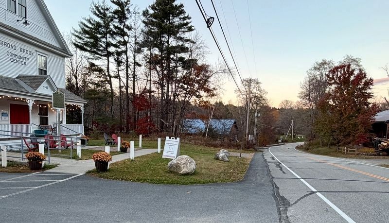
3. Broad Brook Grange Hall Marker
Credits. This page was last revised on October 30, 2026. It was originally submitted on October 24, 2026, by Dennis Gilkenson of Saxtons River, Vermont. This page has been viewed 15 times since then. Photos: 1, 2, 3. submitted on October 24, 2026, by Dennis Gilkenson of Saxtons River, Vermont. • Michael Herrick was the editor who published this page.
