Leighton in Colbert County, Alabama — The American South (East South Central)
Jeffers Crossroads
⎯⎯⎯
Greggs Stage Stop Tavern
Colbert County
Photographed by Billy Clemmons, October 24, 2026
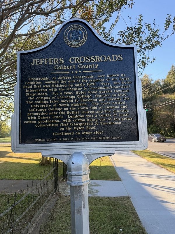
1. Jeffers Crossroads side of marker
Crossroads, or Jeffers Crossroads, now known as Leighton, marked the end of the segment of the Byler Road that was finished by early 1820. Here, the Byler intersected with the Decatur to Tuscumbia/Courtland Stage Road. For a time, Byler Road passed through the campus of LaGrange College, founded in 1830. The college later moved to Florence and became the University of North Alabama. The route exited LaGrange College on the south side of campus and proceeded near Old Bethel Church and the junction with Gaines Trace. Leighton was a center of local cotton production, with cotton being one of the prime commodities first transported to Tuscaloosa on the Byler Road.
(Other Side)
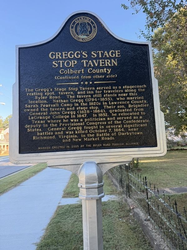
The Greggs Stage Stop Tavern served as a stagecoach resting spot, tavern and inn for travelers along the Byler Road. Nathan Gregg (1794-1855) who married Sarah Pearsall Camp in the 1820s in Lawrence County, owned the tavern and stage stop. Their son, Brigadier General John Gregg (1828 - 1864), graduated from LaGrange College in 1847. In 1852, he relocated to Texas where he was a politician and served as a deputy in the Provisional Congress of
this page online
Erected 2025 by Byler Road Tourism Alliance and Alabama Historical Commission.
Topics. This historical marker is listed in these topic lists: Industry & Commerce • Roads & Vehicles. A significant historical date for this entry is October 7, 1864.
Location. 34° 41.919′ N, 87° 31.738′ W. Marker is in Leighton, Alabama, in Colbert County. It is at the intersection of Old Highway 20 and County Line Rd, on the left when traveling south on Old Highway 20. Touch for map. Marker is at or near this postal address: 7795 County Line Rd, Leighton AL 35646, United States of America. Touch for directions.

Regionally, this marker is in North Alabama and in the Shoals. It is also in the American South, specifically in the Deep South, in Appalachia, and specifically in Southern Appalachia. Globally, it is in North America, a Gulf of Mexico state, the Western Hemisphere, the Western World, and the Anglosphere. Historically, it finds itself in what was once the
Photographed by Billy Clemmons, October 24, 2026
2. Greggs Stage Stop Tavern side of marker
Other nearby markers. At least 8 other markers are within 4 miles of this marker, measured as the crow flies: History of Leighton United Methodist Church (within shouting distance of this marker); Frank R. King (1859-1939) (about 700 feet away, measured in a direct line); History of Leighton (approx. 0.3 miles away); Alabama's Historic Byler Road (approx. 0.3 miles away); Leighton Training School (approx. half a mile away); William Leigh (approx. 0.9 miles away); LaGrange College (approx. 2.7 miles away); LaGrange Military Academy (approx. 3.1 miles away). Touch for a list and map of all markers in Leighton.
Photographed by Billy Clemmons, October 24, 2026
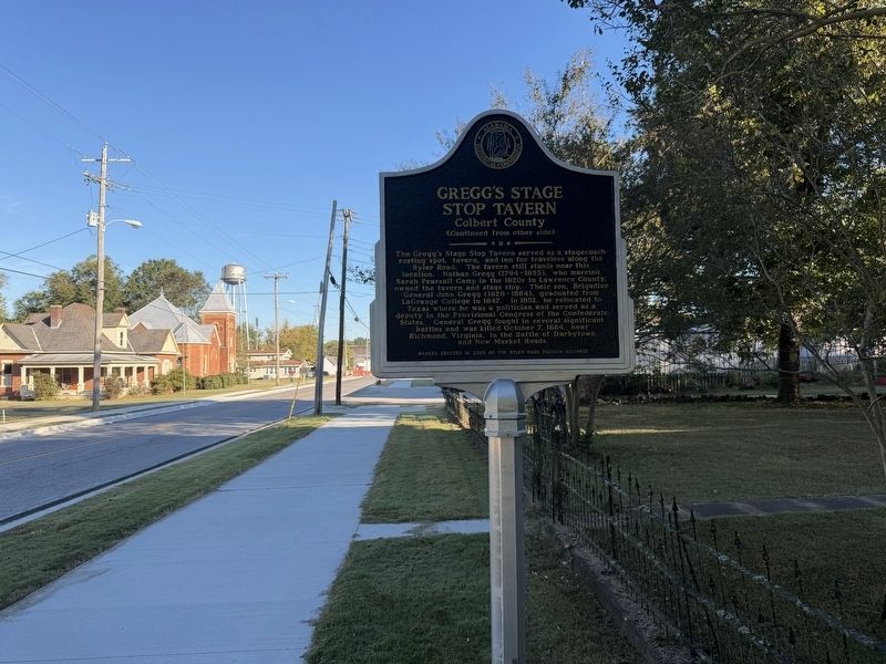
3. Jeffers Crossroads / Greggs Stage Stop Tavern Marker
Photographed by Billy Clemmons, October 24, 2026
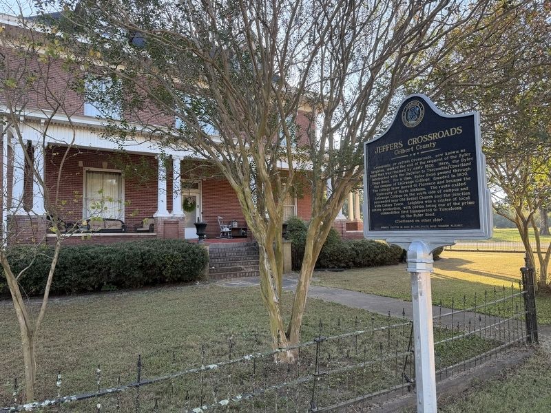
4. Jeffers Crossroads / Greggs Stage Stop Tavern Marker
Credits. This page was last revised on October 30, 2026. It was originally submitted on October 24, 2026, by Billy Clemmons of Florence, Alabama. This page has been viewed 22 times since then. Photos: 1, 2, 3, 4. submitted on October 24, 2026, by Billy Clemmons of Florence, Alabama. • James Hulse was the editor who published this page.
