
Sandstone in Pine County, Minnesota — The American Midwest (Upper Plains)
Kettle River Sandstone Buildings
Kettle River Sandstone Company
Photographed by Michael J Larson
1. Kettle River Sandstone Buildings Marker
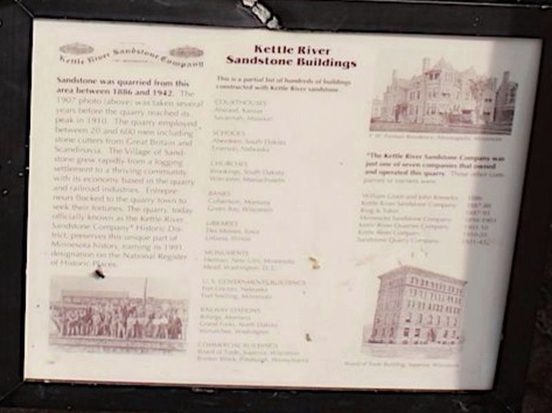
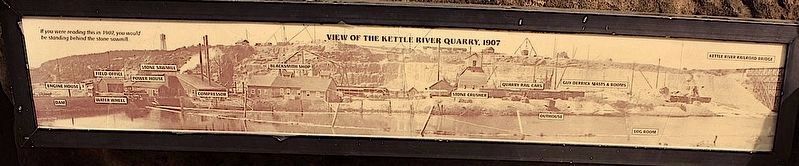
Sandstone was quarried from this area between 1886 and 1942. The 1907 photo (above) was taken several years before the quarry reached its peak in 1910. the quarry employed between 20 and 600 men including stone cutters from Great Britain and Scandinavia. The Village of Standstone grew rapidly from a logging settlement to a thriving community with its economy based in the quarry and railroad industries. Entrepreneurs flocked to the quarry town to seek their fortunes. The quarry, today officially known as the Kettle River Sandstone Company* Historic District, preserves this unique part of Minnesota history, earning its 1993 designation on the National Register of Historic Places.
*The Kettle River Sandstone Company was just one of seven companies that owned and operated this quarry.
Topics. This historical marker is listed in these topic lists: Immigration • Industry & Commerce • Natural Resources • Settlements & Settlers. A significant historical year for this entry is 1886.
Location. 46° 8.065′ N, 92° 51.471′ W. Marker is in Sandstone, Minnesota, in Pine County. It is on Old Wagon Road north of 3rd Street
this page online

Regionally, this marker is in Central Minnesota. It is also in the American Midwest and in the Corn Belt. Globally, it is in North America, the Great North Woods, the Western Hemisphere, the Western World, and the Anglosphere. Historically, it finds itself in what was once Rupert’s Land, the territory of the Mississippian Culture, and the Northwest Territory.
Other nearby markers. At least 8 other markers are within 9 miles of this marker, measured as the crow flies: Sandstone Area Veterans Memorial (approx. half a mile away); Forming Blocks (approx. 1.6 miles away); Sawing Slabs (approx. 1.7 miles away); Power (approx. 1.8 miles away); Crushing Stone (approx. 1.9 miles away); A Railroad Industry (approx. 1.9 miles away); Lumbering in Minnesota (approx. 5.4 miles away); The Hinckley Fire (approx. 8.8 miles away). Touch for a list and map of all markers in Sandstone.
Photographed by Michael J Larson
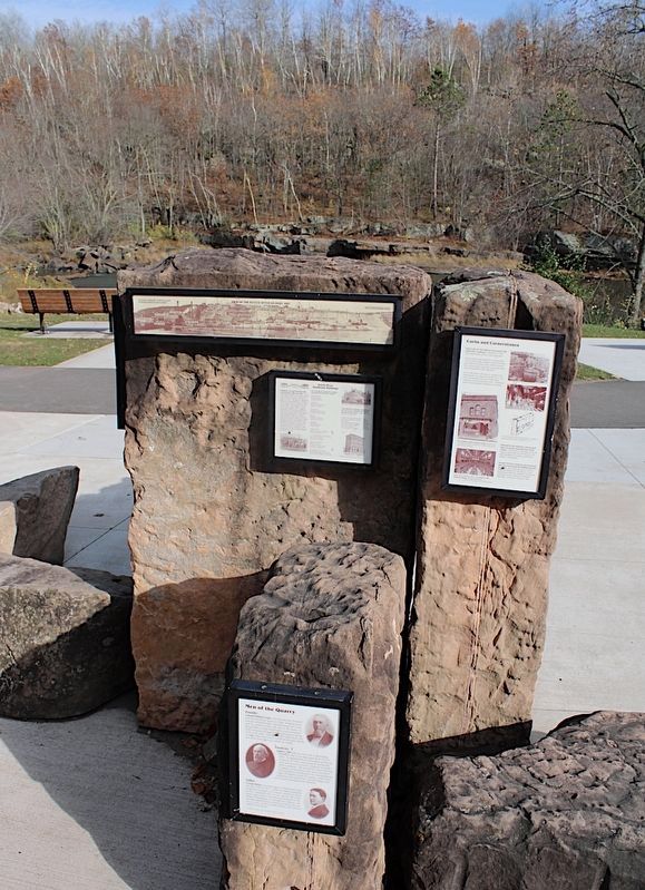
2. Kettle River Quarry Display
Photographed by Michael J Larson
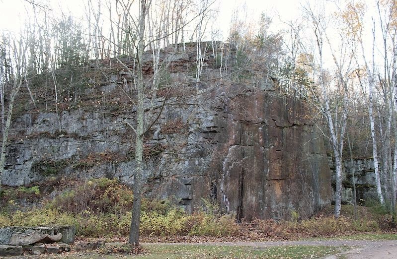
3. Kettle River Quarry
The Quarry started in the late 1800's and continued into the 1900's before it was shut down. This is a view of the Quarry walls after the leaves have settled for the winter months.
Photographed by Michael J Larson
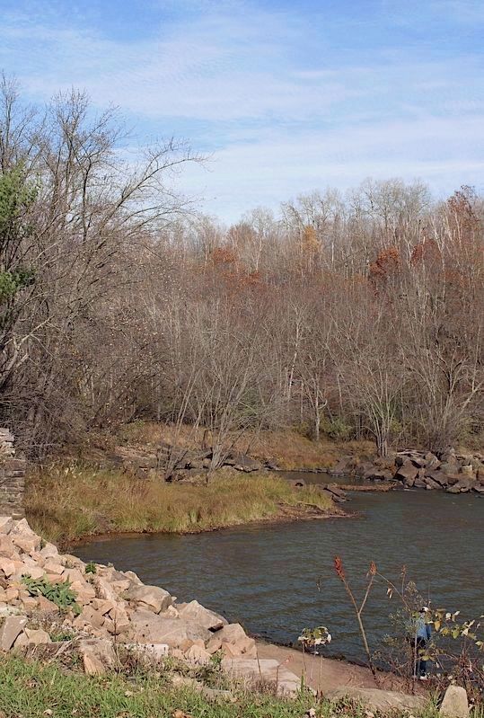
4. Kettle River Quarry
There was a dam across the Kettle River that helped power the quarry equipment. Today it is down to a smaller structure but people kayaking downstream enjoy this feature along with the Hells Gates rapids that are farther upstream in Banning State Park.
Photographed by Michael J Larson
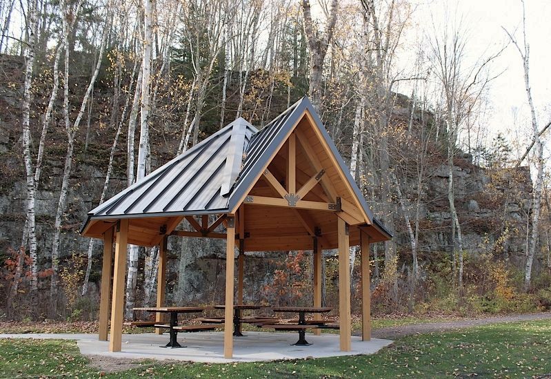
5. Kettle River Quarry Park
The latest improvement at the park was this structure with tables under a creative roof. There are other structures, most everything has scenic views and access to a river of wonder.
Photographed by Michael J Larson
6. Nearby map: View of the Kettle River Quarry, 1907
Credits. This page was last revised on November 16, 2026. It was originally submitted on October 24, 2026, by Michael J Larson of Brooklyn Center, Minnesota. This page has been viewed 98 times since then. Photos: 1, 2, 3, 4, 5, 6. submitted on October 24, 2026, by Michael J Larson of Brooklyn Center, Minnesota. • Devry Becker Jones was the editor who published this page.
Editor’s want-list for this marker. Readable photo of the marker, and transcription of the text that is blurred in the current photo. • Submission of the two remaining markers for their own individual marker profile pages. • Can you help?
