New Baltimore in Fauquier County, Virginia — The American South (Mid-Atlantic)
Lafayette's Tour
Mapping the Farewell Tour
| — | The Lafayette Trail | — |
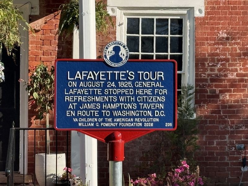
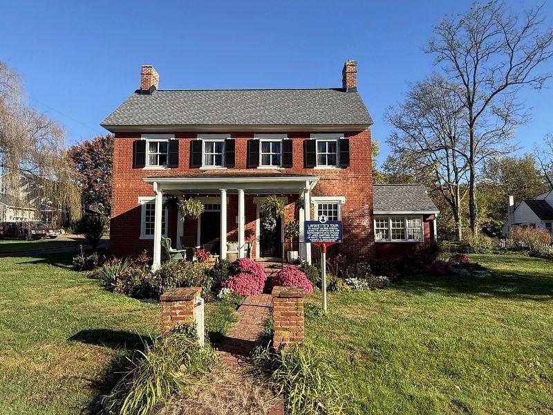
On August 24, 1825, General Lafayette stopped here for refreshments with citizens at James Hampton's tavern en route to Washington, D.C.
Erected 2026 by VA Children of the American Revolution; William G. Pomeroy Foundation. (Marker Number 205.)
Topics and series. This historical marker is listed in these topic lists: Industry & Commerce • Notable Events • Patriots & Patriotism. In addition, it is included in the Lafayette’s Farewell Tour series list. A significant historical date for this entry is August 24, 1825.
Location. 38° 46.04′ N, 77° 43.694′ W. Marker is in New Baltimore, Virginia, in Fauquier County. It is on Old Alexandria Turnpike (County Road 693) east of Mason Lane, on the right when traveling west. Touch for map. Marker is at or near this postal address: 5290 Old Alexandria Turnpike, Warrenton VA 20187, United States of America. Touch for directions.

Regionally, this marker is in the Washington Metropolitan Area and in Northern Virginia. It is also in the American South, specifically in the Upper South, and in the Mid-Atlantic. Globally, it is in North America, the Western Hemisphere, the Western
this page online
Other nearby markers. At least 8 other markers are within 3 miles of this marker, measured as the crow flies: Second Manassas Campaign (approx. 0.6 miles away); Christ's Chapel on Baldwin Ridge (approx. 2.3 miles away); Buckland Mills Battle (approx. 2.6 miles away); Roadway Innovations (approx. 2.6 miles away); McClellan’s Farewell (approx. 2.9 miles away); Colonial Road (approx. 2.9 miles away); Buckland (approx. 3.1 miles away); The Buckland Mill (approx. 3.1 miles away).
Other markers no longer nearby. Buckland Mills Battle (was approx. 2.6 miles away but has been replaced with another marker now near it); Fredericksburg Campaign (was approx. 2.9 miles away but has been permanently removed); a different marker also named Colonial Road (was approx. 2.9 miles away but has been replaced with another marker now near it); Buckland Races (was approx. 3 miles away but has been permanently removed).
Credits. This page was last revised on October 24, 2026. It was originally submitted on October 24, 2026, by Devry Becker Jones of Washington, District of Columbia. This page has been viewed 9 times since then. Photos: 1, 2. submitted on October 24, 2026, by Devry Becker Jones of Washington, District of Columbia.
