Saint-Hubert in Longueuil in Montérégie, Québec — Central Canada (French-Canadian)
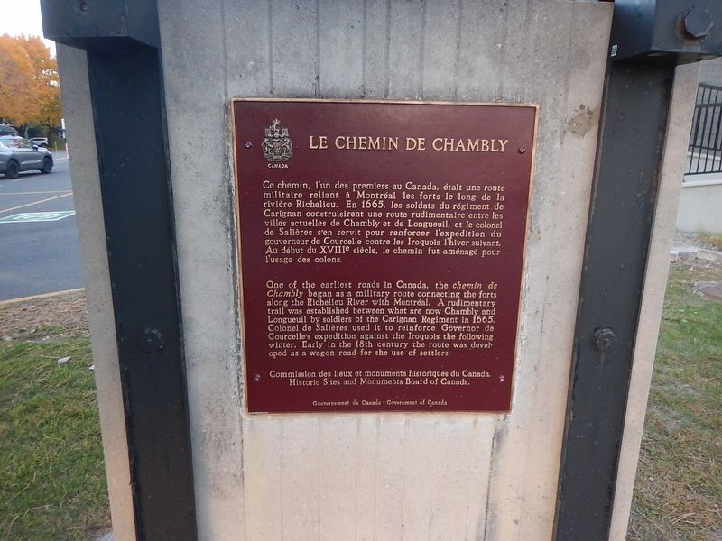
Le Chemin de Chambly
Chambly Road
Photographed by Kevin Craft, October 20, 2026
1. Le Chemin de Chambly Marker
{French text}
Ce chemin, l’un des premiers au Canada, était une route militaire reliant à Montréal les forts le long de la rivière Richelieu. En 1665, les soldats du régiment de Carignan construisirent une route rudimentaire entre les villes actuelles de Chambly et de Longueuil, et le colonel de Salières s’en servit pour renforcer l’expédition du gouverneur de Courcelle contre les Iroquois l’hiver suivant. Au début du XVIIIᵉ siècle, le chemin fut aménagé pour l’usage des colons.
{English text}
One of the earliest roads in Canada, the chemin de Chambly began as a military route connecting the forts along the Richelieu River with Montreal. A rudimentary trail was established between what are now Chambly and Longueuil by soldiers of the Carignan Regiment in 1665. Colonel de Salières used it to reinforce Governor de Courcelle’s expedition against the Iroquois the following winter. Early in the 18th century the route was developed as a wagon road for the use of settlers.
Erected by Historic Sites and Monuments Board of Canada.
Topics. This historical marker is listed in these topic lists: Roads & Vehicles •
this page online
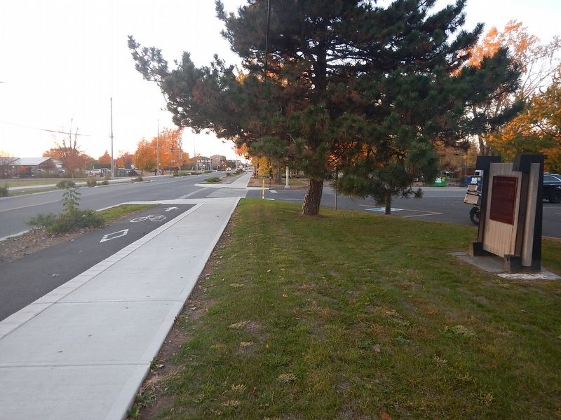
Location. 45° 29.434′ N, 73° 23.355′ W. Marker is in Longueuil, Québec, in Montérégie. It is in Saint-Hubert. It is on Chemin de Chambly 0.1 kilometers east of rue Bernard, on the right when traveling west. Touch for map. Marker is at or near this postal address: 7500 Ch de Chambly, Longueuil QC J3Y 3S6, Canada. Touch for directions.

Regionally, this marker is in Greater Montréal. It is also in Central Canada. Globally, it is in North America, the Western Hemisphere, and the Western World. Historically, it finds itself in what was once a British colony, the Viceroyalty of New France, the Haudenosaunee (Iroquois) Confederacy, and Rupert’s Land.
Other nearby markers. At least 8 other markers are within 11 kilometers of this marker, measured as the crow flies: Saint-Hubert Memorial Obelisk (approx. 3.4 kilometers away); Saint-Hubert War Memorial (approx. 4 kilometers away); Albani (approx. 8.5 kilometers away); Chambly Canal (approx. 9.6 kilometers away); Fort Chambly Cemetery (approx. 9.8 kilometers away); General John Thomas (approx. 9.8 kilometers
Photographed by Kevin Craft, October 20, 2026
2. Wideview of Le Chemin de Chambly Marker
Credits. This page was last revised on October 24, 2026. It was originally submitted on October 24, 2026, by Kevin Craft of Bedford, Quebec. This page has been viewed 18 times since then. Photos: 1, 2. submitted on October 24, 2026, by Kevin Craft of Bedford, Quebec.
