Inyo National Forest near Bishop in Inyo County, California — The American West (Pacific Coastal)
Trails Well Traveled
Photographed by Craig Baker, October 22, 2026
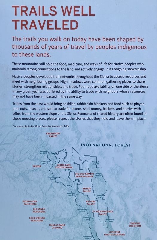
1. Trails Well Traveled Marker
The trails you walk on today have been shaped by thousands of years of travel by peoples indigenous to these lands.
These mountains still hold the food, medicine, and ways of life for Native peoples who maintain strong connections to the land and actively engage in its ongoing stewardship.
Native peoples developed trail networks throughout the Sierra to access resources and meet with neighboring groups. High meadows were common gathering places to share stories, strengthen relationships, and trade. Poor food availability on one side of the Sierra in any given year was buffered by the ability to trade with neighbors whose resources may not have been impacted in the same way.
Tribes from the east would bring obsidian, rabbit skin blankets and food such as pinyon pine nuts, insects, and salt to trade for acorns, shell money, baskets, and berries with tribes from the western slope of the Sierra. Remnants of shared history are often found in these meeting places; please respect the stories that they hold and leave them in place.
Topics. This historical marker is listed in this topic list: Indigenous Peoples and Communities.
Location. 37° 10.158′ N, 118° 33.954′ W. Marker is near Bishop, California, in Inyo County. It is in Inyo National Forest. It is on South Lake Road 7 miles south of California Route 168. Located in the parking lot at the end of South Lake Road. Touch for map. Marker is at or near this postal address: 5001 S Lake Rd, Bishop CA 93514, United States of America. Touch for directions.

Regionally, this marker is in the Sierra Nevada. It is also in the American Mountain West. Globally, it is in North America, on the Ring of Fire, on the Pacific Rim, in the Western Hemisphere, in the Western World, and in the
this page online
Other nearby markers. At least 8 other markers are within 13 miles of this marker, measured as the crow flies: Parcher's Rainbow Camp / Rainbow Pack Outfit (approx. 1.2 miles away); Cardinal Gold Mine (approx. 4.3 miles away); Cardinal Lodge (approx. 4.7 miles away); Power for the Diggins (approx. 5.6 miles away); Lon Chaney Cabin (approx. 6 miles away); Buttermilk Road (approx. 11.8 miles away); Keough’s Hot Springs (approx. 12 miles away); Bishop Creek Battleground (approx. 12.8 miles away). Touch for a list and map of all markers in Bishop.
Photographed by Craig Baker, October 22, 2026
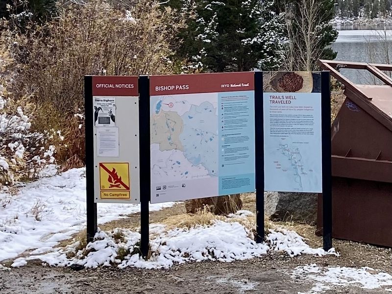
2. Trails Well Traveled Marker
Photographed by Craig Baker, October 22, 2026
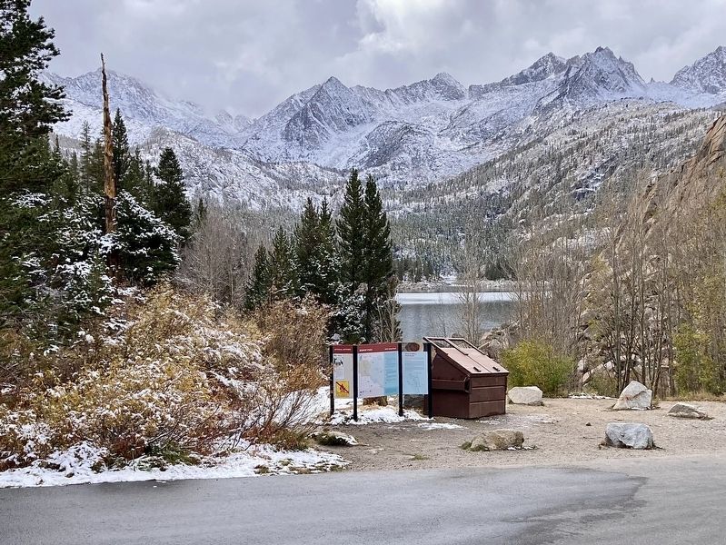
3. Trails Well Traveled Marker
Credits. This page was last revised on November 10, 2026. It was originally submitted on October 24, 2026, by Craig Baker of Sylmar, California. This page has been viewed 18 times since then. Photos: 1, 2, 3. submitted on October 24, 2026, by Craig Baker of Sylmar, California.
