Beezley Trailhead in Ephrata in Grant County, Washington — The American West (Northwest)
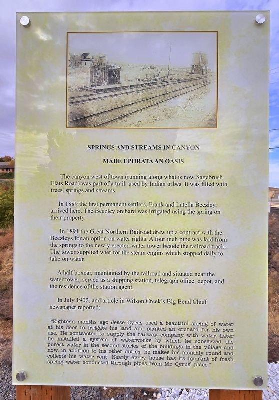
Springs and Streams in Canyon Made Ephrata an Oasis
Photographed by Shirley A Stirling, October 24, 2026
1. Springs and streams in canyon Marker
The canyon west of town (running along what is now Sagebrush Flats Road) was part of a trail used by Indian tribes. It was filled with trees, springs and streams.
In 1889 the first permanent settlers, Frank and Latella Beezley, arrived here. The Beezley orchard was irrigated using the spring on their property.
In 1891 the Great Northern Railroad drew up a contract with the Beezleys for an option on water rights. A four inch pipe was laid from the springs to the newly erected water tower beside the railroad track. The tower supplied wter for the steam engins which stopped daily to take on water.
A half boxcar, maintained by the railroad and situated near the water tower, served as a shipping station, telegraph office, depot, and the residence of the station agent.
In July 1902, and article in Wilson Creek's Big Bend Chief newspaper reported:
“Eighteen months ago Jesse Cyrus used beautiful spring of water at his door to irrigate his land and planted an orchard for his use. He contracted to supply the railway company with water. Later own he installed a system of waterworks by which he conserved the purestwater in the second stories of the buildings in the vilage and now, in addition to his other duties, he makes his monthly round and collects his water rent Nearly every house has its hydrant of fresh spring water conducted through pipes from Mr. Cyrus' place.”
Click or scan to see
this page online
Erected 2026 by Autism Society of Grant County.
Topics. This historical marker is listed in these topic lists: Natural Features • Settlements & Settlers. A significant historical year for this entry is 1891.
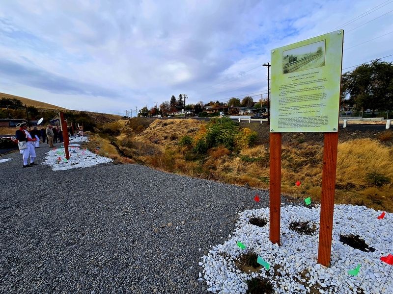
Location. 47° 19.403′ N, 119° 33.523′ W. Marker is in Ephrata, Washington, in Grant County. It is in Beezley Trailhead. It is at the intersection of Cyrus Road and 1st Avenue NW, on the right when traveling west on Cyrus Road. Touch for map. Marker is in this post office area: Ephrata WA 98823, United States of America. Touch for directions.

Regionally, this marker is in the Columbia Basin. It is also in the American Mountain West and in the Lewis & Clark Corridor. Globally, it is in North America, on the Pacific Rim, in the Western Hemisphere, in the Western World, and in the Anglosphere.
Other nearby markers. At least 8 other markers are within 6 miles
Photographed by Shirley A Stirling, October 24, 2026
2. Wide angle of Marker
Credits. This page was last revised on October 31, 2026. It was originally submitted on October 25, 2026, by Shirley A Stirling of Lacey, Washington. This page has been viewed 9 times since then. Photos: 1, 2. submitted on October 25, 2026, by Shirley A Stirling of Lacey, Washington. • Andrew Ruppenstein was the editor who published this page.
