Marshall in Fauquier County, Virginia — The American South (Mid-Atlantic)
Organization of Mosby's Rangers
Photographed by Devry Becker Jones, October 24, 2026
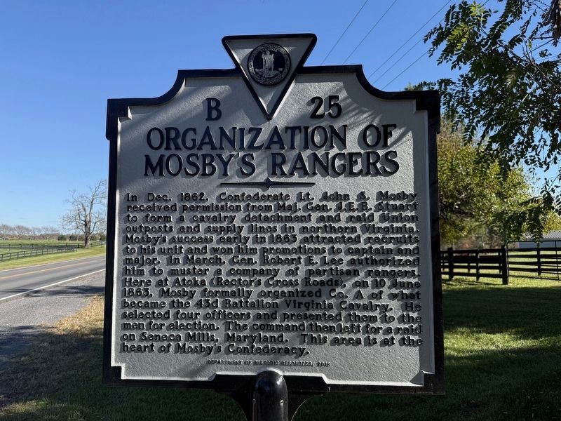
1. Organization of Mosby's Rangers Marker
In Dec. 1862, Confederate Lt. John S. Mosby received permission from Maj. Gen. J.E.B. Stuart to form a cavalry detachment and raid Union outposts and supply lines in northern Virginia. Mosby's success early in 1863 attracted recruits to his unit and won him promotions to captain and major. In March, Gen. Robert E. Lee authorized him to muster a company of partisan rangers. Here at Atoka (Rector's Cross Roads), on 10 June 1863. Mosby formally organized Co. A of what became the 43d Battalion Virginia Cavalry. He selected four officers and presented them to the men for election. The command then left for a raid on Seneca Mills, Maryland. This area is at the heart of Mosby's Confederacy.
Erected 2018 by Department of Historic Resources. (Marker Number B-25.)
Topics and series. This historical marker is listed in this topic list: War, US Civil. In addition, it is included in the Virginia Department of Historic Resources (DHR) series list. A significant historical date for this entry is June 10, 1863.
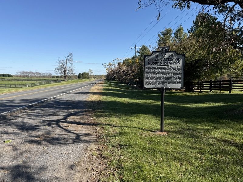
Location. 38° 58.505′ N, 77° 48.251′ W. Marker is in Marshall, Virginia, in Fauquier County. It is on John S Mosby Highway (U.S. 50)
this page online

Regionally, this marker is in the Washington Metropolitan Area and in Northern Virginia. It is also in the American South, specifically in the Upper South, and in the Mid-Atlantic. Globally, it is in North America, the Western Hemisphere, the Western World, and the Anglosphere. Historically, it finds itself in what was once the territory of the Mississippian Culture, one of the original Thirteen Colonies, one of the Confederate States of America, and the Antebellum South.
Other nearby markers. At least 8 other markers are within 2 miles of this marker, measured as the crow flies: Welbourne (about 600 feet away); Rector’s Crossroads (approx. 0.2 miles away); Rector House (approx. ¼ mile away); Civil War Cavalry Equipment (approx. one mile away); In Appreciation of the Fauquier and Loudoun Garden Club (approx. one mile away); Preserving The Battlefield (approx. one mile away); Attack At Goose Creek Bridge (approx. one
Photographed by Devry Becker Jones (CC0), October 24, 2026
2. Organization of Mosby's Rangers Marker
Other markers no longer nearby. Mosby’s Rangers (was about 600 feet away, measured in a direct line but has been replaced with another marker now near it); a different marker also named Rector House (was approx. ¼ mile away but has been replaced with another marker now near it); Attack at Goose Creek Bridge (was approx. one mile away but has been replaced with another marker now near it).
Credits. This page was last revised on October 25, 2026. It was originally submitted on October 25, 2026, by Devry Becker Jones of Washington, District of Columbia. This page has been viewed 4 times since then. Photos: 1, 2. submitted on October 25, 2026, by Devry Becker Jones of Washington, District of Columbia.
