Middleburg in Loudoun County, Virginia — The American South (Mid-Atlantic)
Mount Defiance
Battle of Middleburg
| — | Gettysburg Campaign | — |
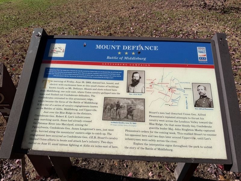
After Confederate Gen. Robert E. Lee's stunning victory at Chancellorsville in May 1863, he led the Army of Northern Virginia west to the Shenandoah Valley, then north through central Maryland and across the Mason-Dixon Line into Pennsylvania. Union Gen. George G. Meade, who replaced Gen Joseph Hooker on June 28, led the Army of the Potomac in pursuite. Confederate cavalry commander Gen. J.E.B. Staurt on Federal communications and rail lines and captured supplies. The armies collided at Gettysburg on July 1, starting a battle that neither general planned to fight there. Three days later, the defeated Caonfederates retreated, crossing the Potomac River into Virginia on July 14.
The morning of Friday, June 19, 1863, dawned hot, humd, and electric with excitement here at this small cluster of buildings known locally as Mt. Defiance. Shouts and shots echoed here from Middleburg, one mile east, where Union cavalry galloped into the town and flushed out Confederate defenders. The Confederates retreated to this prominent ridge, which became the focus of the Battle of Middleburg. It was one of a series of cavalry engagements
this page online
Just over the Blue Ridge in the distance, Confederate Gen. Robert E. Lee's infantrymen were marching north. Some had already crossed the Potomac River into Maryland, aiming for Pennsylvania. Confederate Gen. James Longstreet's men, just west of us, hurried along the mountains' eastern edge to catch up. The engagement here occurrred as Confederate Gen. J.E.B. Stuart's cavalry blocked Union efforts to locate and attack Lee's infantry. Two days earlier on June 17, amid intense fighting at Aldie six miles east of here, Stuart's men had thwarted Union Gen. Alfred Pleasonton's repeated attempted to thrust his cavalry west across the Loudoun Valley toward the Blue Ridge. On that same bloody day, Confederate guerilla leader Maj. John Singleton Mosby captured Pleasonton's orders for the coming week. This enabled Stuart to counter his opponent here and two days later around Upperville, until Lee's infantrymen were safely across the river.
Explore the interpretive signs throughout the park to unfold the story of the Battle of Middleburg.
Erected by Virginia Civil War Trails.
Topics and series. This historical marker is listed in this topic list: War, US Civil. In addition, it is included in the Virginia Civil War Trails series list. A significant historical month for this entry is May 1863.
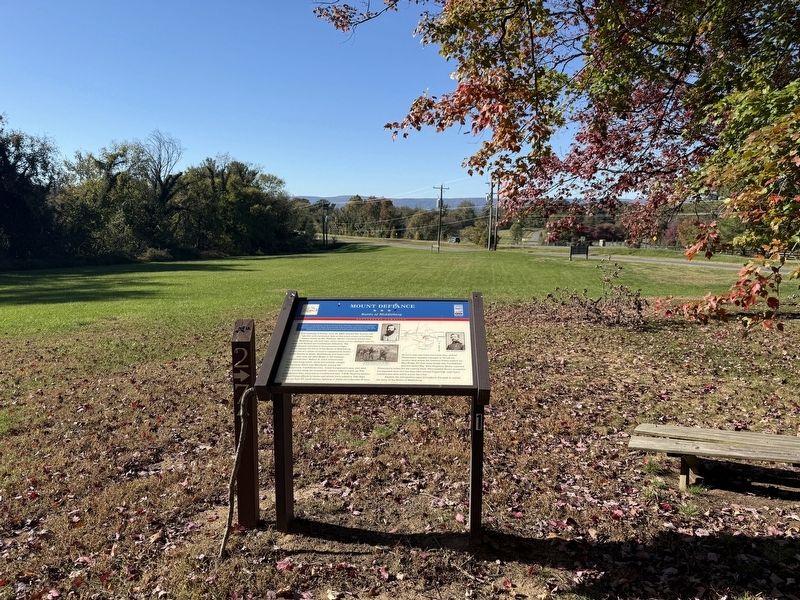
Location. 38° 58.057′ N, 77° 45.778′ W. Marker is in Middleburg, Virginia, in Loudoun County. It is on Little River Turnpike (U.S. 50) east of Hedgehod Meadow Lane when traveling east. Touch for map. Marker is at or near this postal address: 35945 Little River Tpke, Middleburg VA 20117, United States of America. Touch for directions.

Regionally, this marker is in the Washington Metropolitan Area and in Northern Virginia. It is also in the American South, specifically in the Upper South, and in the Mid-Atlantic. Globally, it is in North America, the Western Hemisphere, the Western World, and the Anglosphere. Historically, it finds itself in what was once the territory of the Mississippian Culture, one of the original Thirteen Colonies, one of the Confederate States of America, and the Antebellum South.
Other nearby markers. At least 8 other markers are within walking distance of this marker: A different marker also named Mount Defiance (here, next to this marker); The Prussian Warrior Heros Von Borcke Goes Down (within shouting distance of this marker); 1st Maine Cavalry Monument (within shouting distance of this marker); Mt. Defiance, the Turnpike, and Middleburg (within shouting distance of this marker); Horse Artillery at Mt. Defiance (within shouting distance of this marker); The Battle Concludes: Buford's Flanking Movement & Stuart's Withdrawal (within shouting distance of this marker); The Battle Begins: Fighting East and Southeast of Mt. Defiance (about 300 feet away, measured in a direct line); Phase Two of the Battle: Fighting Along the Turnpike (about 300 feet away). Touch for a list and map of all markers in Middleburg.
Another marker is no longer nearby. Mount Defiance (was within shouting distance of this marker but has been replaced with another marker now near it).
Credits. This page was last revised on October 25, 2026. It was originally submitted on October 25, 2026, by Devry Becker Jones of Washington, District of Columbia. This page has been viewed 14 times since then. Photos: 1, 2. submitted on October 25, 2026, by Devry Becker Jones of Washington, District of Columbia.
