Koblenz-Ehrenbreitstein , Rhineland-Palatinate, Germany — Central Europe
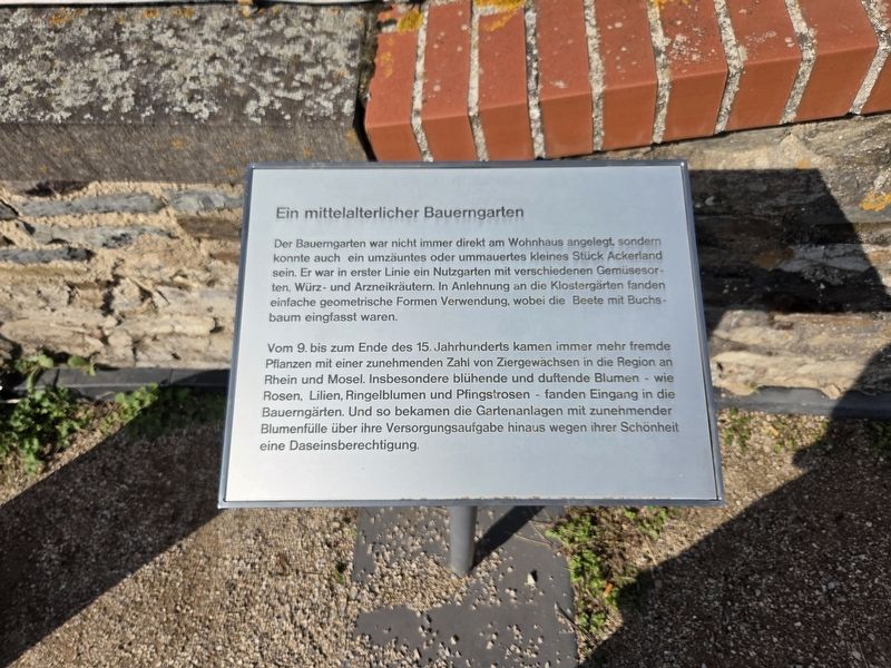
Ein mittelalterlicher Bauerngarten
⎯⎯⎯
A Medieval Cottage Garden
Photographed by James Hulse, October 3, 2026
1. Ein mittelalterlicher Bauerngarten / A Medieval Cottage Garden Marker

Der Bauerngarten war nicht immer direkt am Wohnhaus angelegt, sondern konnte auch ein umzäuntes oder ummauertes kleines Stück Ackerland sein. Er war in erster Linie ein Nutzgarten mit verschiedenen Gemüsesorten, Würz- und Arzneikräutern. In Anlehnung an die Klostergärten fanden einfache geometrische Formen Verwendung, wobei die Beete mit Buchsbaum eingefasst waren.
Vom 9. bis zum Ende des 15. Jahrhunderts kamen immer mehr fremde Pflanzen mit einer zunehmenden Zahl von Ziergewächsen in die Region an Rhein und Mosel. Insbesondere blühende und duftende Blumen - wie Rosen, Lilien, Ringelblumen und Pfingstrosen - fanden Eingang in die Bauerngärten. Und so bekamen die Gartenanlagen mit zunehmender Blumenfülle über ihre Versorgungsaufgabe hinaus wegen ihrer Schönheit eine Daseinsberechtigung.
A Medieval Cottage Garden
A cottage garden was not always situated directly beside the house. It could also be a small plot of farmland enclosed by a fence or wall. It was primarily a productive garden containing various vegetables, culinary herbs and medicinal plants.
this page online
From the 9th century to the end of the 15th century, increasing numbers of foreign plants, including more ornamental varieties, reached the Rhine and Moselle region. Flowering and fragrant plants—such as roses, lilies, marigolds and peonies—became particularly popular in cottage gardens. As flowers became more abundant, these gardens gained a purpose beyond providing food and medicine: they were also valued for their beauty.
Topics. This historical marker is listed in these topic lists: Agriculture • Forts and Castles.
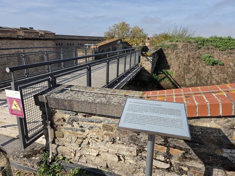
Location. 50° 21.889′ N, 7° 36.947′ E. Marker is in Koblenz, Rheinland-Pfalz (Rhineland-Palatinate). It is in Koblenz-Ehrenbreitstein. It is on Greiffenklaustraße 2 kilometers west of Friesenstraße. The marker is located on the grounds of the Ehrenbreitstein Fortress. Touch for map. Marker is in this post office area: Koblenz RP 56077, Germany. Touch for directions.

Regionally, this marker is in the German Rhineland, in the Upper Middle Rhine Valley,
Photographed by James Hulse, October 3, 2026
2. Ein mittelalterlicher Bauerngarten / A Medieval Cottage Garden Marker
Other nearby markers. At least 8 other markers are within walking distance of this marker: Historische Zeitgärten / Historical Period Gardens (a few steps from this marker); Ein 50er Jahre Garten / A 1950s Garden (a few steps from this marker); Ein Garten der Römerzeit (within shouting distance of this marker); Der Mensch wird sesshaft / People Adopt a Settled Way of Life (within shouting distance of this marker); Brunnendenkmal / Fountain Monument (about 180 meters away, measured in a direct line); Preußische Festung Coblenz und Ehrenbreitstein / Prussian Fortress of Coblenz and Ehrenbreitstein (about 180 meters away); Demokratischer Widerstand Junger Menschen zu Allen Zeiten (approx. 0.8 kilometers away); Gegen das Vergessen des Unrechts der Sed-Diktatur (approx. 0.8 kilometers away). Touch for a list and map of all markers in
Photographed by James Hulse, October 3, 2026
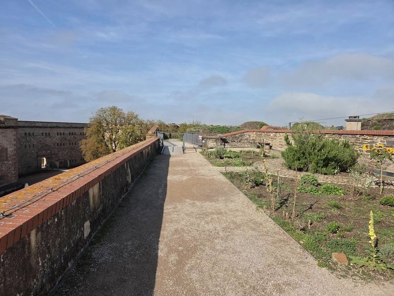
3. Ein mittelalterlicher Bauerngarten / A Medieval Cottage Garden Marker
A view of the garden on the right side of the pathway.
More about this marker. The marker stands atop the Ehrenbreitstein Fortress. Admission is required to enter the fortress and visit the marker.
Credits. This page was last revised on October 26, 2026. It was originally submitted on October 25, 2026, by James Hulse of Medina, Texas. This page has been viewed 10 times since then. Photos: 1, 2, 3. submitted on October 26, 2026, by James Hulse of Medina, Texas.
