Near Weippe in Clearwater County, Idaho — The American West (Mountains)
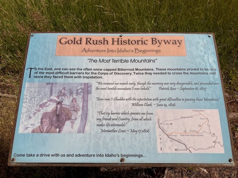
"The Most Terrible Mountains"
Gold Rush Historic Byway.
| — | Adventures Into Idaho's Beginnings | — |
Photographed by Barry Swackhamer, June 16, 2026
1. "The Most Terrible Mountains" Marker
"We renewed our march early, though the morning was very disagreeable, and proceeded over the most terrible mountains I ever beheld." -- Patrick Gass, September 16, 1805
"Even now I Shudder with the expectation with great difficulties in passing those Mountains." -- William Clark, June 14, 1806
"That icy barrier which sperates me from my friends and Country, from all which makes life esteemable." -- Meriwether Lewis, May 17, 1806
Come take a drive with us and adventure into Idaho's beginnings...
Topics. This historical marker is listed in these topic lists: Exploration • Natural Features. A significant historical date for this entry is June 14, 1806.
Location. 46° 22.916′ N, 116° 7.631′ W. Marker is near Weippe, Idaho, in Clearwater County. It is on State Highway 11 at milepost 9 near Nightingale Lane, on the left when traveling east. Touch for map. Marker is in this
this page online

Regionally, this marker is in North Idaho — Idaho’s Panhandle. It is also in the American Mountain West, specifically in the Pacific Northwest, and in the Lewis & Clark Corridor. Globally, it is in North America, the Western Hemisphere, the Western World, and the Anglosphere.
Other nearby markers. At least 8 other markers are within 9 miles of this marker, measured as the crow flies: Gold Rush Ferry (approx. 2.4 miles away); Gold Rush Historic Byway (approx. 2.4 miles away); Fraser Park (approx. 3.8 miles away); Fraser (approx. 3.8 miles away); Lewis and Clark (approx. 6 miles away); "Handsome Small Prairie" (approx. 8.4 miles away); Weippe Prairie (approx. 8.4 miles away); a different marker also named Lewis and Clark (approx. 8.4 miles away). Touch for a list and map of all markers in Weippe.
Photographed by Barry Swackhamer, June 16, 2026
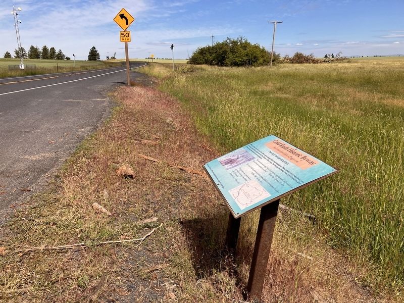
2. "The Most Terrible Mountains" Marker
Credits. This page was last revised on October 26, 2026. It was originally submitted on October 26, 2026, by Barry Swackhamer of Brentwood, California. This page has been viewed 3 times since then. Photos: 1, 2. submitted on October 26, 2026, by Barry Swackhamer of Brentwood, California.
