Peterborough, Ontario — Central Canada (North America)
Peterborough Pioneers and Agricultural Society
1844 - 1958
Photographed by William Fischer, Jr., October 9, 2026
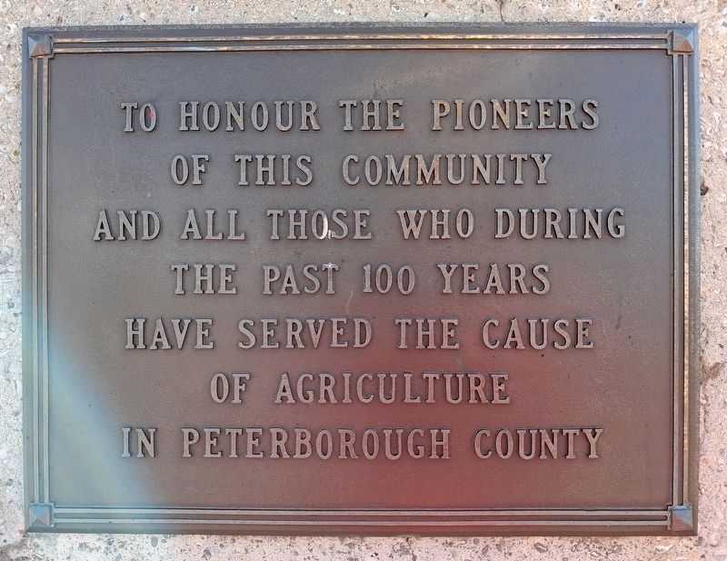
1. Peterborough Pioneers Marker
To honour the Pioneers
of this commuity
and all those who during
the past 100 years
have served the cause
of agriculture
in Peterborough County
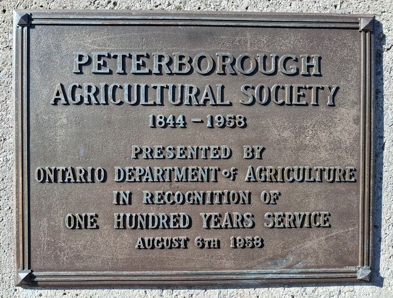
Presented by
Ontario Department of Agriculture
in recognition of
One Hundred Years Service
August 6th 1958
Erected 1958 by Ontario Department of Agriculture.
Topics. This historical marker is listed in these topic lists: Agriculture • Charity & Public Work • Education. A significant historical year for this entry is 1844.
Location. 44° 17.326′ N, 78° 19.039′ W. Marker is in Peterborough, Ontario. It is at the intersection of Lansdowne Street West and Roger Neilson Way, on the left when traveling west on Lansdowne Street West. Touch for map. Marker is at or near this postal address: 11 Roger Neilson Way, Peterborough ON K9J 1Y4, Canada. Touch for directions.

Regionally, this marker is in Central Canada. Globally, it is in North America, the Western Hemisphere, the Western World, and the Anglosphere. Historically, it finds itself in what was once a British colony, the Viceroyalty of New France, the Haudenosaunee (Iroquois) Confederacy, and
this page online
Other nearby markers. At least 8 other markers are within walking distance of this marker: 50 Years of Dutch-Canadian Friendship (approx. 0.7 kilometers away); Peterborough Firefighters Memorial (approx. 0.7 kilometers away); Sean Eyre (approx. 0.7 kilometers away); Ontario Games for the Physically Disabled (approx. 0.8 kilometers away); Del Crary Park (approx. 0.8 kilometers away); Bdr. Herbert Chesterfield Dixon (approx. 0.8 kilometers away); 150th Anniversary of the Great Irish Famine (approx. 0.8 kilometers away); War Memorial (approx. 0.9 kilometers away). Touch for a list and map of all markers in Peterborough.
Photographed by William Fischer, Jr., October 9, 2026
2. Peterborough Agricultural Society Marker
Photographed by William Fischer, Jr., October 9, 2026
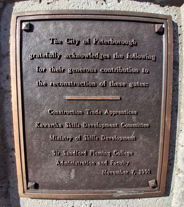
3. Peterborough Agricultural Society Gates Marker
Complimentary marker, not transcribed
Photographed by William Fischer, Jr., October 9, 2026
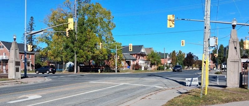
4. Peterborough Pioneers and Agricultural Society Markers
Three markers; two visible, third is on right pillar facing the others
Credits. This page was last revised on November 12, 2026. It was originally submitted on October 26, 2026, by William Fischer, Jr. of Reynoldsburg, Ohio. This page has been viewed 15 times since then. Photos: 1, 2, 3, 4. submitted on October 26, 2026, by William Fischer, Jr. of Reynoldsburg, Ohio.
