Columbia Heights in Northwest Washington in Washington, District of Columbia — The American Northeast (Mid-Atlantic)
An American Meridian
Rock Creek Park
| — | National Park Service, U.S. Department of the Interior | — |
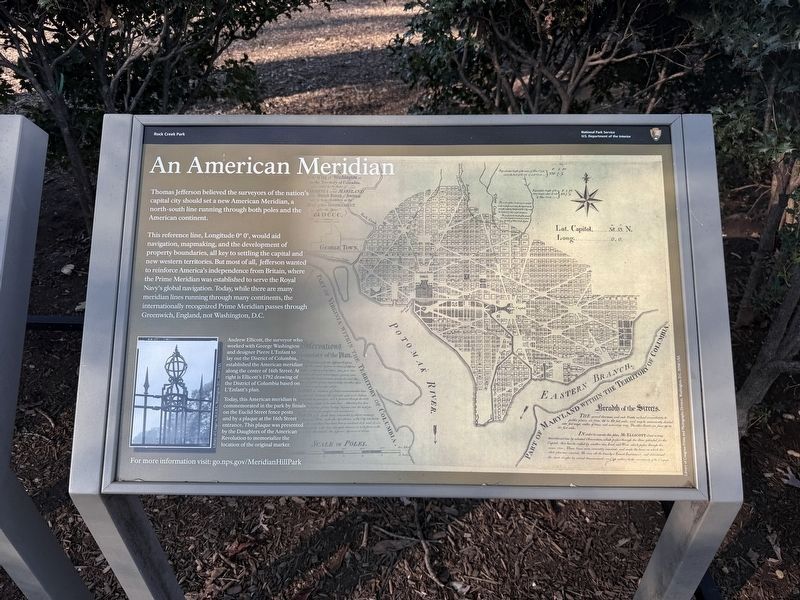
Thomas Jefferson believed the surveyors of the nation's capital city should set a new American Meridian, a north-south line running through both poles and the American continent.
This reference line, Longitude 0° 0', would aid navigation, mapmaking, and the development of property boundaries, all key to settling the capital and new western territories. But most of all, Jefferson wanted to reinforce America's independence from Britain, where the Prime Meridian was established to serve the Royal Navy's global navigation. Today, while there are many meridian lines running through many continents, the internationally recognized Prime Meridian passes through Greenwich, England, not Washington, D.C.
For more information visit: go.nps.gov/MeridianHillPark
[Captions:]
Andrew Ellicott, the surveyor who worked with George Washington and designer Pierre L'Enfant to lay out the District of Columbia, established the American meridian along the center of 16th Street. at right is Ellicott's 1792 drawing of the District of Columbia based on L'Enfant's plan.
Today, this American meridian is commemorated in the park by finials on the Euclid Street fence posts and by a plaque at the 16th Street entrance. This plaque was presented by the Daughters of the American Revolution to memorialize the location of the original marker.
Erected 2026
this page online
Topics. This historical marker is listed in these topic lists: Communications • Exploration • Roads & Vehicles. A significant historical year for this entry is 1792.
Location. 38° 55.298′ N, 77° 2.125′ W. Marker is in Northwest Washington in Washington, District of Columbia. It is in Columbia Heights. It is on 15th Street Northwest north of Chapin Street Northwest, on the left when traveling north. Touch for map. Marker is at or near this postal address: 2331 15th St NW, Washington DC 20009, United States of America. Touch for directions.

Regionally, this marker is in the Washington Metropolitan Area. It is also in the American Northeast, in the Upper South, in the Mid-Atlantic, in the Tidewater, and in the Chesapeake Bay Region. Globally, it is in North America, the Western Hemisphere, the Western World, and the Anglosphere.
Other nearby markers. At least 8 other markers are within walking distance of this marker: College Hill (within shouting distance of this marker); a different marker also named Visionary and Park Champion (within shouting distance
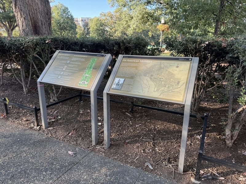
Other markers no longer nearby. An American Meridian (has been replaced with this marker); Visionary and Park Champion (was within shouting distance of this marker but has been replaced with another marker now near it); Creating the "City Beautiful" (was within shouting distance of this marker but has been replaced with another marker now near it); Design Challenges (was within shouting distance of this marker but has been replaced with another marker now near it); Park Designers (was within shouting distance of this marker but has been replaced with another marker now near it); Art for the People (was within shouting distance of this marker but has been replaced with another marker now near it); Washington Meridian (was about 300 feet away, measured in a direct line but has been confirmed missing).
Credits. This page was last revised on October 26, 2026. It was originally submitted on October 26, 2026, by Devry Becker Jones of Washington, District of Columbia. This page has been viewed 3 times since then. Photos: 1, 2. submitted on October 26, 2026, by Devry Becker Jones of Washington, District of Columbia.
