Downtown in Peterborough, Ontario — Central Canada (North America)
Scott's Mills 1820
Photographed by William Fischer, Jr., October 9, 2026
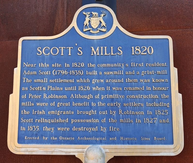
1. Scott's Mills 1820 Marker
Near this site, in 1820, the community's first resident, Adam Scott (1796-1838), built a sawmill and a grist-mill. The small settlement which grew around them was known as Scott's Plains until 1826 when it was renamed in honour of Peter Robinson. Although of primitive construction, the mills were of great benefit to the early settlers including the Irish emigrants brought out by Robinson in 1825. Scott relinquished possession of the mills in 1827 and, in 1835, they were destroyed by fire.
Erected by Ontario Archaeological and Historic Sites Board.
Topics and series. This historical marker is listed in these topic lists: Immigration • Industry & Commerce • Settlements & Settlers. In addition, it is included in the Canada, Ontario Heritage Trust series list. A significant historical year for this entry is 1820.
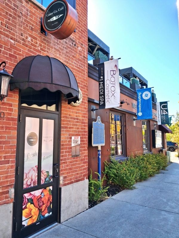
Location. 44° 18.151′ N, 78° 19.128′ W. Marker is in Peterborough, Ontario. It is in Downtown. It is on Water Street north of King Street, on the right when traveling north. Touch for map. Marker is at or near this postal address: 290 Water Street, Peterborough ON K9J 3C7, Canada. Touch for directions.

Regionally,
this page online
Other nearby markers. At least 8 other markers are within walking distance of this marker: Peterborough Canoe Company (here, next to this marker); Otonabee River Trail (within shouting distance of this marker); Millenium Walkway (within shouting distance of this marker); The River (within shouting distance of this marker); The Landscape (within shouting distance of this marker); In the Glacier's Wake (within shouting distance of this marker); The First Nations (within shouting distance of this marker); Full Circle (within shouting distance of this marker). Touch for a list and map of all markers in Peterborough.
Photographed by William Fischer, Jr., October 9, 2026
2. Scott's Mills 1820 Marker
Credits. This page was last revised on October 27, 2026. It was originally submitted on October 27, 2026, by William Fischer, Jr. of Reynoldsburg, Ohio. This page has been viewed 15 times since then. Photos: 1, 2. submitted on October 27, 2026, by William Fischer, Jr. of Reynoldsburg, Ohio.
