Downtown in Peterborough, Ontario — Central Canada (North America)
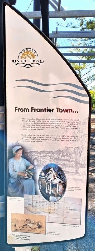
From Frontier Town...
Otonabee River Trail
Photographed by William Fischer, Jr., October 9, 2026
1. From Frontier Town... Marker
While Samuel de Champlain is the first recorded European to travel through the area (1615), full scale migration did not begin until the promise of free land lured British settlers here in 1818. The following year, Adam Scott built a small saw and gristmill along the river. A settlement, known as Scott's Mills or Scott's Plains, soon emerged around his modest landmark.
Shortly after the town site was surveyed in 1823, the fledgling community was renamed Peterborough in honour of Peter Robinson's 1825 Irish immigration. And the seeds for a fruitful community were planted....
[Illustration captions read]
• Sketch of Scott's Mills
• Candle making at Lang Pioneer Village
• Hutchison House, the home of Peterborough's first doctor
• Map of Peterborborough [sic] in 1823
• Anne Langton sketch of Hunter Street in 1854
Visit: Lang Pioneer Village, 4th Line Theatre, Little Lake Cemetery
Erected 2000 by City of Peterborough.
Topics. This historical marker is listed in these topic lists: Exploration • Immigration • Settlements & Settlers. A significant historical year for this entry is 2000.
Location. 44° 18.112′ N, 78° 19.111′ W. Marker is in Peterborough, Ontario. It is in Downtown. It is on King Street just east of Water Street, on the right when traveling east. Marker and Walkway are in Millenium Park. Touch for map. Marker is at or near this postal address: 131 King Street, Peterborough ON K9J 0A5, Canada. Touch for directions.

Regionally, this marker is in Central Canada. Globally, it is in North America, the Western Hemisphere, the Western World, and the Anglosphere. Historically, it finds itself in what was once a British colony, the Viceroyalty of New France, the Haudenosaunee (Iroquois) Confederacy, and Rupert’s Land.
Other nearby markers. At least 8 other
this page online
Photographed by William Fischer, Jr., October 9, 2026
2. From Frontier Town... Marker
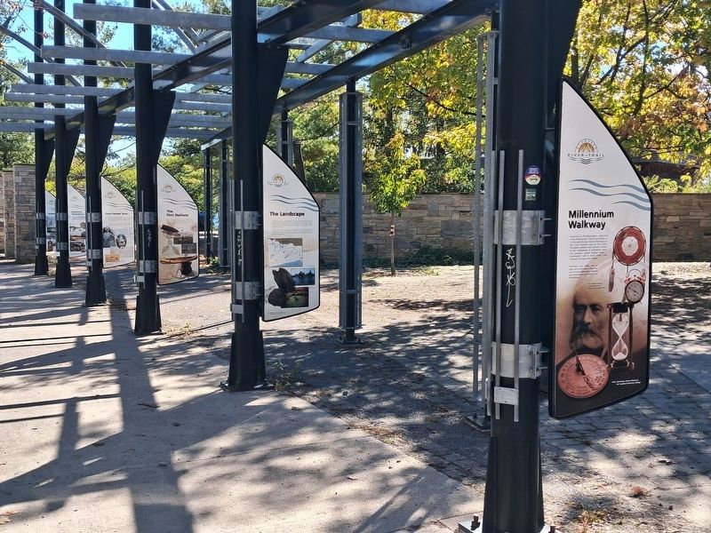
Fourth marker back
Photographed by William Fischer, Jr., October 9, 2026
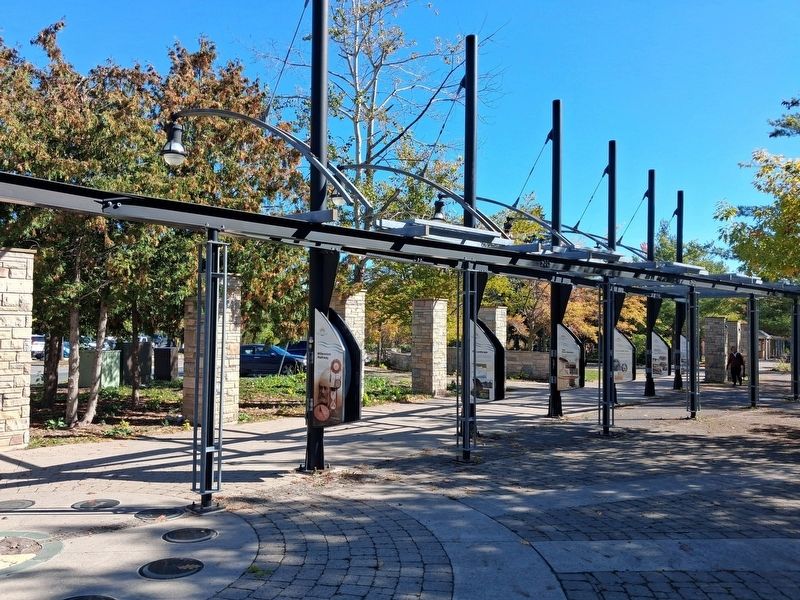
3. Millenium Walkway
Credits. This page was last revised on October 28, 2026. It was originally submitted on October 28, 2026, by William Fischer, Jr. of Reynoldsburg, Ohio. This page has been viewed 7 times since then. Photos: 1, 2. submitted on October 28, 2026, by William Fischer, Jr. of Reynoldsburg, Ohio. 3. submitted on October 27, 2026, by William Fischer, Jr. of Reynoldsburg, Ohio.
