Downtown in Peterborough, Ontario — Central Canada (North America)
...To Bustling City
Otonabee River Trail
Photographed by William Fischer, Jr., October 9, 2026
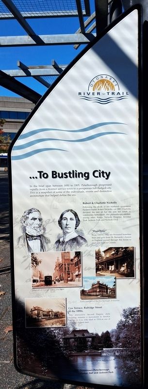
1. ...To Bustling City Marker
In the brief span between 1850 to 1905, Peterborough progressed rapidly from a frontier service town to a prosperous full-fledged city. This is a snapshot of some of the individuals, events and distinctive architecture that helped define the era.
Robert & Charlotte Nicholls [pen and ink drawing of couple]
Following the death of her husband-prominent business leader Robert Nicholls-in 1883, Charlotte devoted the rest of her life and her estate to community betterment. Her philanthropy created, among other things, Nicholls Hospital, Inverlea Park, Jackson Park and Nicholls Oval.
"Hazelbrae" [uncaptioned photo]
From 1884 to 1922, ten thousand homeless boys and girls from Dr. Barnardo's homes in England passed through this house to start new lives in Canada.
[Illustration captions read]
• Streetcar on George Street circa 1900
• Early postcard of the Peterborough Armouries
• Cox Terrace, Rubidge Street in the 1890s.
This distinctive Second Empire style building remains a monument to Senator George A. Cox, who died in 1914 as one of Canada's richest men.
• Pagoda bridge in Jackson Park
Visit: Downtown Peterborough, Market Hall and Jackson Park
Erected 2000 by City of Peterborough.
Topics. This historical marker is listed in these topic lists: Charity & Public Work • Industry & Commerce • Settlements & Settlers • Women. A significant historical year for this entry is 2000.
Location. 44° 18.112′ N, 78° 19.111′ W. Marker is in Peterborough, Ontario. It is in Downtown. It is on King Street east of Water Street, on the right when traveling east. Marker and Walkway are in Millenium Park. Touch for map. Marker is at or near this postal address: 131 King Street, Peterborough ON K9J 0A5, Canada. Touch for directions.

Regionally, this marker is in Central Canada. Globally,
this page online
Other nearby markers. At least 8 other markers are within walking distance of this marker: From Frontier Town... (here, next to this marker); The First Nations (here, next to this marker); Full Circle (here, next to this marker); Industrial Waterfront (here, next to this marker); New Role for the River (here, next to this marker); The Landscape (here, next to this marker); In the Glacier's Wake (here, next to this marker); Peterborough Today (here, next to this marker). Touch for a list and map of all markers in Peterborough.
Also see . . . Peterborough (The Canadian Encyclopedia). (Submitted on October 28, 2026, by William Fischer, Jr. of Reynoldsburg, Ohio.)
Photographed by William Fischer, Jr., October 9, 2026
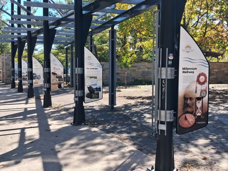
2. ...To Bustling City Marker
On back of fourth pole, not visible in photo
Photographed by William Fischer, Jr., October 9, 2026
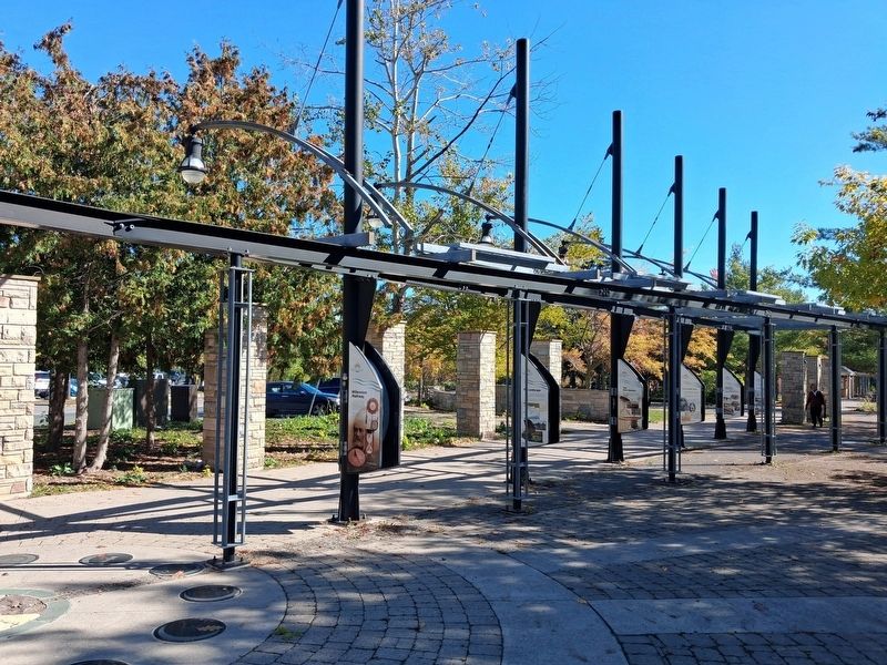
3. Millenium Walkway
Credits. This page was last revised on October 28, 2026. It was originally submitted on October 28, 2026, by William Fischer, Jr. of Reynoldsburg, Ohio. This page has been viewed 5 times since then. Photos: 1, 2. submitted on October 28, 2026, by William Fischer, Jr. of Reynoldsburg, Ohio. 3. submitted on October 27, 2026, by William Fischer, Jr. of Reynoldsburg, Ohio.
