Parker's Crossroads in Henderson County, Tennessee — The American South (East South Central)
Parkers Crossroads
Narrowly Avoided Defeat
| — | Forrest's Tennessee Raid | — |
Photographed by Bradley Owen, October 27, 2026
1. Parkers Crossroads Marker
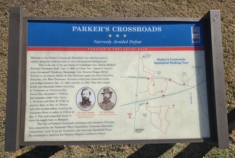
Welcome to the Parker's Crossroads Battlefield. You will find much to explore along the walking trails on this well-preserved battleground.
This is the site of the last battle of Confederate Gen. Nathan Bedford Forrest's Tennessee Raid. Late in 1862, as Union Gen. Ulysses S. Grant's army threatened Vicksburg, Mississippi, Gen. Braxton Bragg ordered Forrest to cut Grant's Mobile & Ohio Railroad supply line from Columbus, Kentucky, into West Tennessee. Forrest's cavalrymen destroyed tracks and bridges between Dec. 15, 1862, and Jan. 3, 1863. They also ranged briefly into Kentucky before returning to Tennessee on Christmas Day. Union Gen. Jeremiah C. Sullivan sent brigades under Cols. Cyrus L. Dunham and John W. Fuller in pursuit. Here on Dec. 31, Forrest narrowly avoided defeat, crossing the Tennessee River to safety at Clifton on Jan. 2. This raid compelled Grant to move his supply base to Memphis.
The City of Parker's Crossroads maintains and interprets 370 acres here, acquired by the Tennessee Wars Commission, Tennessee Historical Commission, Land Trust for Tennessee, and American Battlefield Trust. The battlefield
this page online
(Captions):
Col. Cyrus C. Dunham
Courtesy Parker's Crossroads Battlefield Association
Col. John W. Fuller
Courtesy Library of Congress
Erected by Tennessee Civil War Trails.
Topics. This historical marker is listed in this topic list: War, US Civil. A significant historical date for this entry is January 3, 1863.
Location. 35° 47.199′ N, 88° 23.594′ W. Marker is in Parker's Crossroads, Tennessee, in Henderson County. It is on Tennessee Route 22 0.2 miles south of Interstate 40, on the right when traveling south. Marker is located at the Parker's Crossroads Visitor Center at the northeast corner of the building. Touch for map. Marker is at or near this postal address: 20945 Tennessee 22, Wildersville TN 38388, United States of America. Touch for directions.

Regionally, this marker is in West Tennessee. It is also in the American South and specifically in the Upper South. Globally, it is in North America, the Western Hemisphere, the Western World, and the Anglosphere. Historically, it finds itself in what was once the territory of the Mississippian Culture, one of the
Photographed by Bradley Owen, October 27, 2026
2. Parkers Crossroads Marker
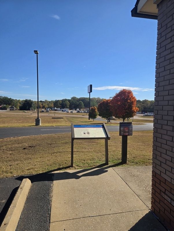
View is looking east.
Other nearby markers. At least 8 other markers are within walking distance of this marker: McPeake Cabin (approx. ¼ mile away); The Lexington-Huntingdon Road (approx. ¼ mile away); A Very Successful Campaign (approx. ¼ mile away); Lt. Col. Alonzo Napier (approx. ¼ mile away); Battlefield Overview (approx. ¼ mile away); Nathan Bedford Forrest (approx. ¼ mile away); Manning the Guns (approx. ¼ mile away); Battle of Parker's Crossroads (approx. ¼ mile away).
Another marker is no longer nearby. Parker's Crossroads (was here, next to this marker but has been replaced with another marker now near it).
Regarding Parkers Crossroads. Marker includes a map of the trails for the Parker's Crossroads Battlefield Walking Tour.
Related marker. Click here for another marker that is related to this marker. This marker has replaced another at this location.
Photographed by Bradley Owen, October 27, 2026
3. Parkers Crossroads Marker
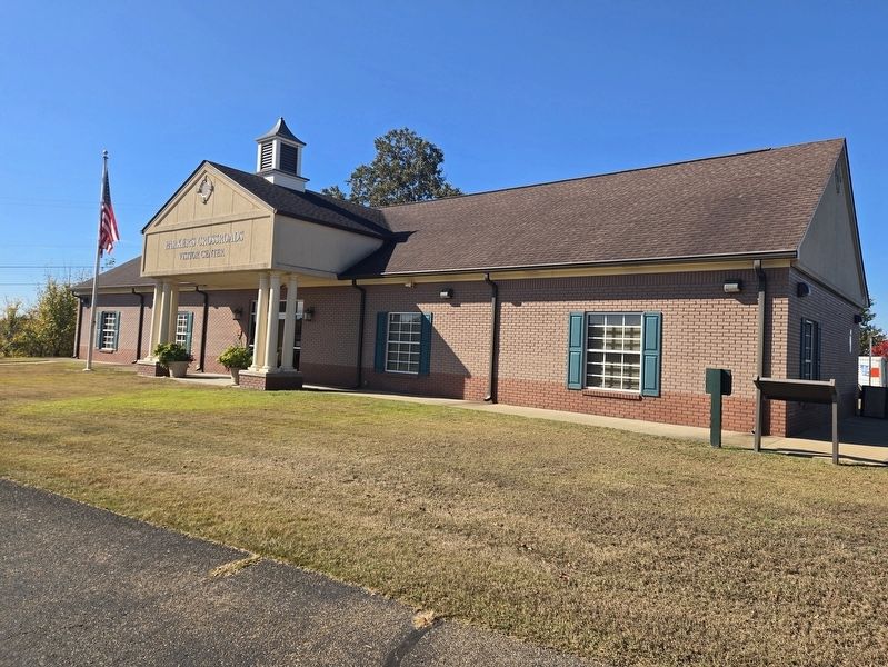
Parker's Crossroads Visitor Center. The marker is located at the far right of the photo.
Credits. This page was last revised on October 29, 2026. It was originally submitted on October 29, 2026, by Bradley Owen of Morgantown, West Virginia. This page has been viewed 11 times since then. Photos: 1, 2, 3. submitted on October 29, 2026, by Bradley Owen of Morgantown, West Virginia.
