
Wadi Musa, Maan (Governorate), Jordan — West Asia (the Levant in the Middle East)
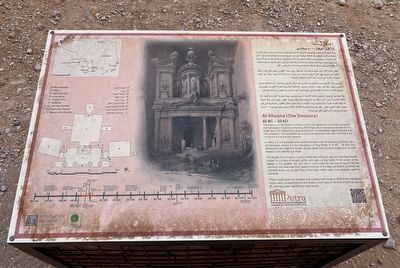
Al-Khazna (The Treasury)
60 BC - 50 AD
Photographed by Barry Swackhamer, December 2, 2025
1. Al-Khazna (The Treasury) Marker
In reality it is a mausoleum and would have been used for funerary purposes; many archaeologist believe it is the mausoleum of King Aretas IV (9BC - 40AD). The Nabataeans decorated the façades of their tombs with funerary designs and symbols related to the afterlife and death.
The façade of the Treasury reveals a Hellenistic influence, with six Corinthian capitals topped by a frieze of winged griffins and vase among scrolls. In the center of the façade is the goddess Isis, and she is surrounded by dancing Amazons (female warriors) with axes over their heads. At the top of the steps just before you enter the chamber, there are circular holes in the floor which were most probably used for sacrifices
Priests would enter the chamber and conduct
this page online
Erected by Petra Development & Tourism Region Authority.
Topics. This historical marker is listed in these topic lists: Cemeteries & Burial Sites • Notable Buildings. A significant historical year for this entry is 2004.
Location. 30° 19.335′ N, 35° 27.086′ E. Marker is in Wadi Musa, Maan (Governorate). It can be reached from no nearby street. Access to the marker and Treasury involve a long walk, about a mile, in a narrow slot canyon. Touch for map. Touch for directions.

Regionally, it is in Asia, specifically in West Asia, in the Middle East, in The Levant, and on the Red Sea. Historically, it finds itself in what was once the Byzantine Empire, the Ottoman Empire, a British Mandate, and the Roman Empire.
Other nearby markers. At least one other marker is within walking distance of this marker: Al-Khazna (Pharaoh's Treasury) (a few steps from this marker in Ma'an Governorate).
Also see . . . Al-Khazneh --- Wikipedia. "Many of the building's
Photographed by Barry Swackhamer, December 2, 2025
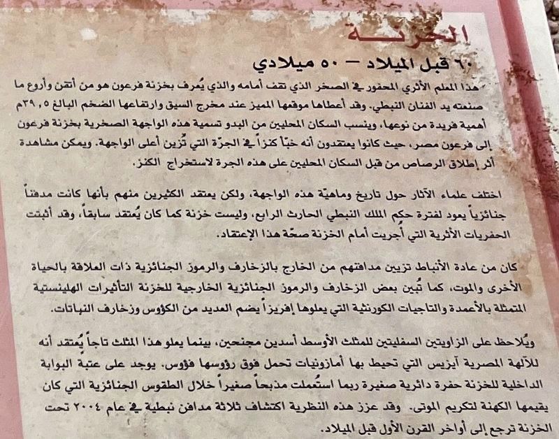
2. Al-Khazna (The Treasury) Marker (detail) Arabic Text
Arabic Text
Photographed by Barry Swackhamer, December 2, 2025
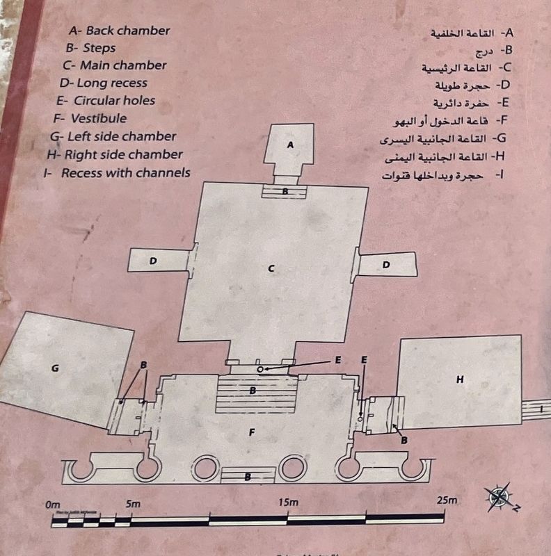
3. Al-Khazna (The Treasury) Marker (detail)
Photographed by Barry Swackhamer, December 2, 2025
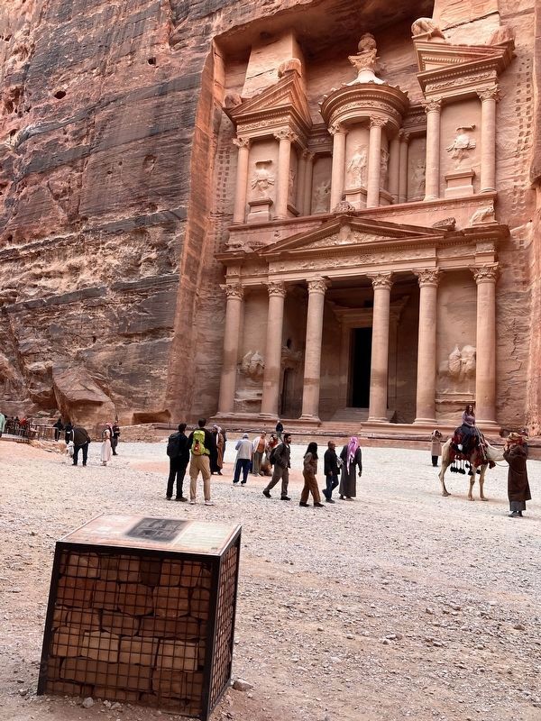
4. Al-Khazna (The Treasury) and Marker
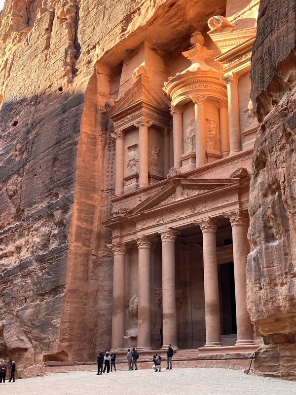
Photographed by Barry Swackhamer, December 2, 2025
5. Al-Khazna (The Treasury)
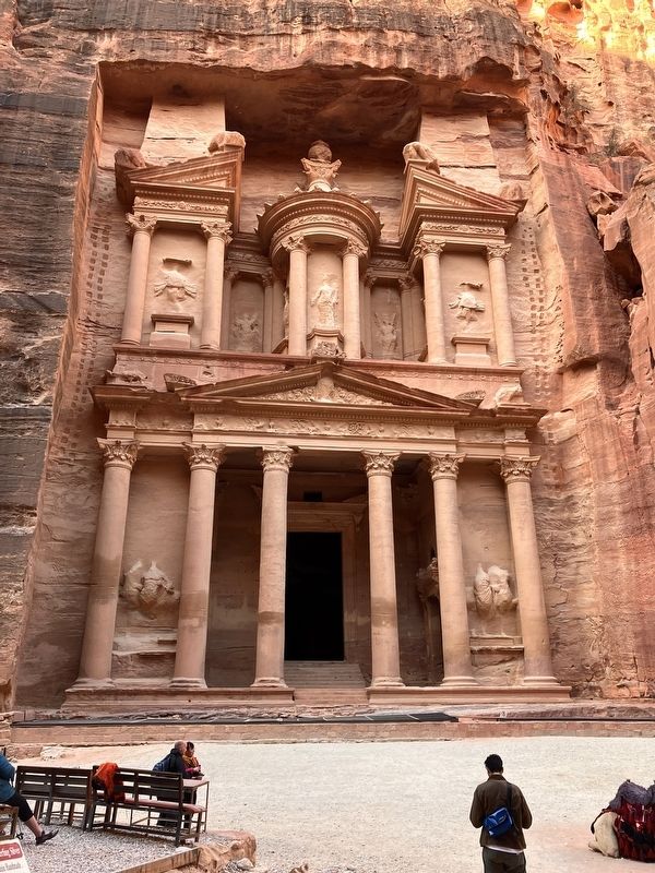
Photographed by Barry Swackhamer, December 2, 2025
6. Al-Khazna (The Treasury)
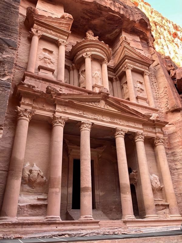
Photographed by Barry Swackhamer, December 2, 2025
7. Al-Khazna (The Treasury)
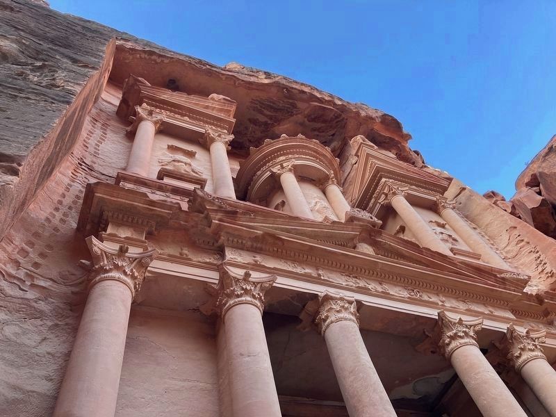
Photographed by Barry Swackhamer, December 2, 2025
8. Al-Khazna (The Treasury)
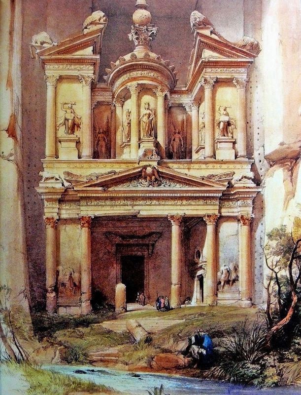
Photographed by David Roberts, circa 1840s
9. Lithograph by David Roberts circa 1840s (colorized)
Look at how much more damage has been done.
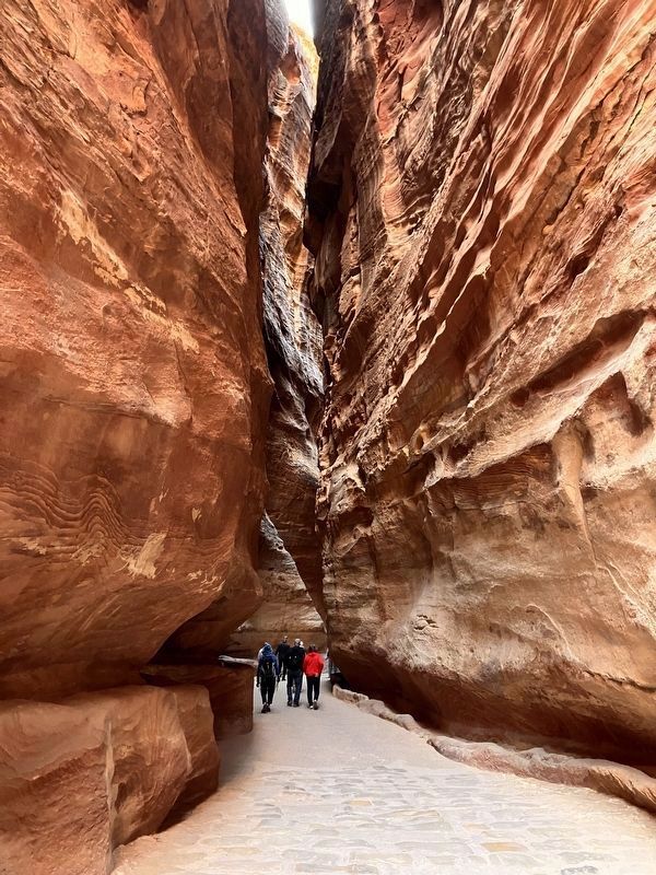
Photographed by Barry Swackhamer, December 2, 2025
10. The pathway (Sig) to Petra
Photographed by Wall.alphacoder.com
11. Did I really see them?
Credits. This page was last revised on November 10, 2026. It was originally submitted on October 29, 2026, by Barry Swackhamer of Brentwood, California. This page has been viewed 29 times since then. Photos: 1, 2, 3, 4, 5, 6, 7. submitted on October 29, 2026, by Barry Swackhamer of Brentwood, California. 8. submitted on October 30, 2026, by Barry Swackhamer of Brentwood, California. 9. submitted on October 29, 2026, by Barry Swackhamer of Brentwood, California. 10, 11. submitted on October 30, 2026, by Barry Swackhamer of Brentwood, California.
