Loveland in Larimer County, Colorado — The American Mountains (Southwest)
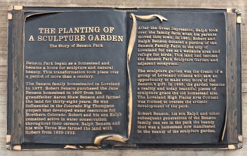
The Planting of a Sculpture Garden
The Story of Benson Park
Photographed by William Fischer, Jr., September 30, 2026
1. The Planting of a Sculpture Garden Marker
Benson Park began as a homestead and became a home for sculpture and natural beauty. This transformation took place over a period of more than a century.
The Benson family homesteaded in Loveland in 1877. Robert Benson purchased the Jane Benson homestead in 1907 from his grandfather Aaron Shaw Benson and farmed the land for thirty-eight years. He was influential in the Colorado Big Thompson project that developed water resources for Northern Colorado. Robert and his son Ralph remained active in water conservation throughout their careers. Ralph Benson and his wife Verna Mae farmed the land with Robert from 1922-1933.
After the Great Depression, Ralph took over the family farm when his parents moved into town. In 1961, Robert and Ralph Benson donated a portion of the Benson Family Farm to the city of Loveland for use as a wetlands area and refuge for birds. This land had become the Benson Park Sculpture Garden and adjacent ecosystem.
The sculpture garden was the dream of a group of Loveland citizens who saw an opportunity to make even more of the Benson's gift. In 1985, the garden became a
this page online
Robert Benson, his son Ralph and other subsequent generations of the Benson family can see in the park the beauty that was a homestead now manifested in the beauty of the sculpture garden.
[Small sampling of sculpture photos included]
Erected 2008 by Loveland High Plains Arts Council.
Topics. This historical marker is listed in these topic lists: Arts, Letters, Music • Charity & Public Work • Parks & Recreational Areas • Settlements & Settlers. A significant historical year for this entry is 1985.
Location. 40° 25.32′ N, 105° 5.564′ W. Marker is in Loveland, Colorado, in Larimer County. It is at the intersection of Beech Drive and 29th Street, on the right when traveling south on Beech Drive. Touch for map. Marker is at or near this postal address: 2950 Beech Drive, Loveland CO 80538, United States of America. Touch for directions.

Regionally, this marker is in the Front Range. It is also in the American Mountain West. Globally,
Photographed by William Fischer, Jr., September 30, 2026
2. The Planting of a Sculpture Garden Marker
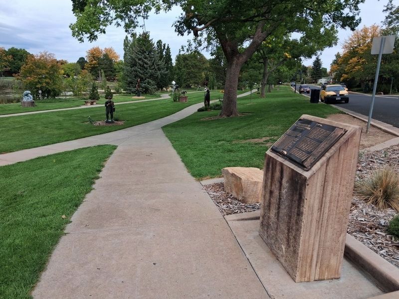
Looking north along Beech Drive
Other nearby markers. At least 8 other markers are within 2 miles of this marker, measured as the crow flies: The Actor (a few steps from this marker); Sculpture in the Park Artists (about 600 feet away, measured in a direct line); Loveland High Plains Art Council Founding Board Members (about 600 feet away); Sculpture in the Park Volunteers (about 700 feet away); Sculpture in the Park 25th Anniversary (about 700 feet away); Lone Tree School (approx. ¼ mile away); "Power Of Thought" (approx. ¼ mile away); Replica of the Statue of Liberty (approx. 1.2 miles away). Touch for a list and map of all markers in Loveland.
Also see . . . Loveland High Plains Art Council History. (Submitted on October 29, 2026, by William Fischer, Jr. of Reynoldsburg, Ohio.)
Photographed by William Fischer, Jr., September 30, 2026
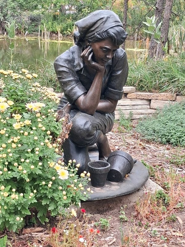
3. "Flora" by Jo Hess
Photographed by William Fischer, Jr., September 30, 2026
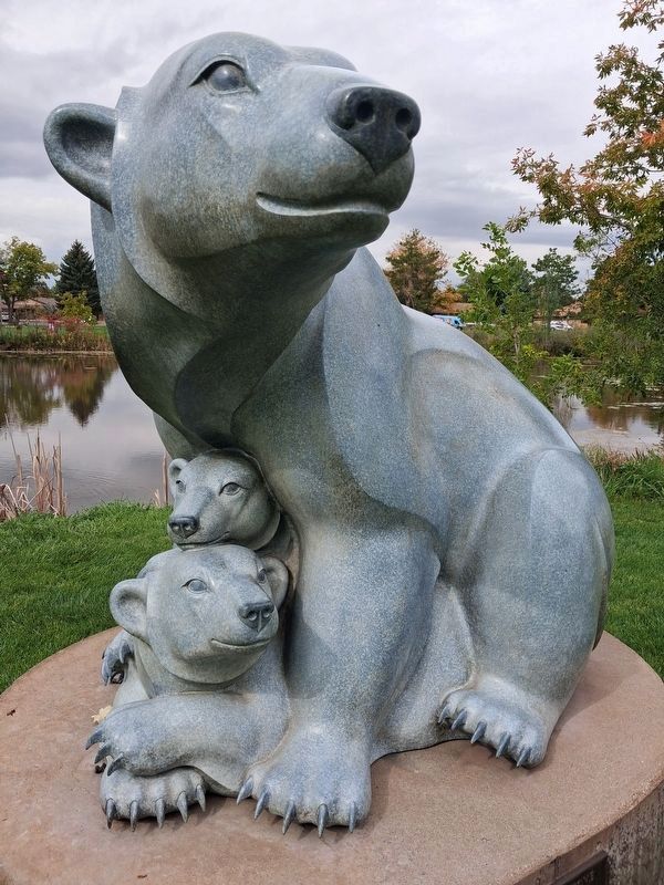
4. "Shelter Cove" by Mary Régat
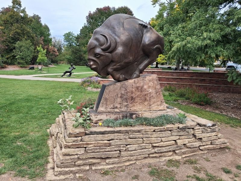
Photographed by William Fischer, Jr., September 30, 2026
5. "Spectre of Ancient Pathways" by Steve Kestrel
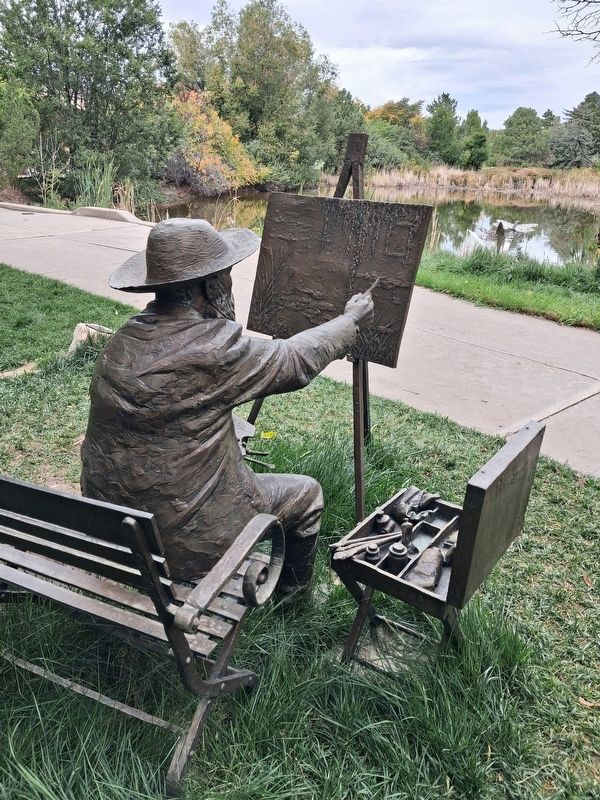
Photographed by William Fischer, Jr., September 30, 2026
6. "Monet" by Gary Lee Price
Credits. This page was last revised on October 29, 2026. It was originally submitted on October 29, 2026, by William Fischer, Jr. of Reynoldsburg, Ohio. This page has been viewed 16 times since then. Photos: 1, 2, 3, 4, 5, 6. submitted on October 29, 2026, by William Fischer, Jr. of Reynoldsburg, Ohio.
