St. Charles in St. Charles County, Missouri — The American Midwest (Upper Plains)
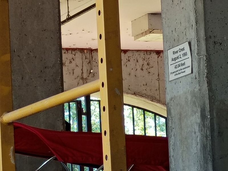
River Crest
August 2, 1993
Photographed by Craig Doda, September 12, 2026
1. River Crest Marker
40.04 feet
(10 years prior to the construction of the Boat House)
Topics. This historical marker is listed in these topic lists: Disasters • Waterways & Vessels. A significant historical date for this entry is August 2, 1993.
Location. 38° 46.376′ N, 90° 28.936′ W. Marker is in St. Charles, Missouri, in St. Charles County. It is at the intersection of South Riverside Drive and Boone's Lick Road, on the right when traveling south on South Riverside Drive. Touch for map. Marker is at or near this postal address: 1050 S Riverside Dr, Saint Charles MO 63301, United States of America. Touch for directions.

Regionally, this marker is in the Missouri River Corridor and in Greater St. Louis. It is also in the American Midwest, in the Lewis & Clark Corridor, in the Corn Belt, and in the Great River Road Region. Globally, it is in North America, the Western Hemisphere, the Western World, and the Anglosphere. Historically, it finds itself in what was once the territory of the Mississippian Culture, the Louisiana Purchase, and the Antebellum South.
Other nearby markers. At least 8 other markers are within walking distance
this page online
Other markers no longer nearby. Marsh Mallows (was a few steps from this marker but has been confirmed missing); Potato (was a few steps from this marker but has been confirmed missing); Onions (was within shouting distance of this marker but has been confirmed missing); Corn, Pole Beans, Squash / Habanero & Jalapeno Peppers / Tomato (was within shouting distance of this marker but has been confirmed missing); Sunflower (was within shouting distance of this marker but has been confirmed missing); Lewis & Clark Bicentennial Survey Disk (was within shouting distance of this marker but has been confirmed
Photographed by Craig Doda, September 12, 2026
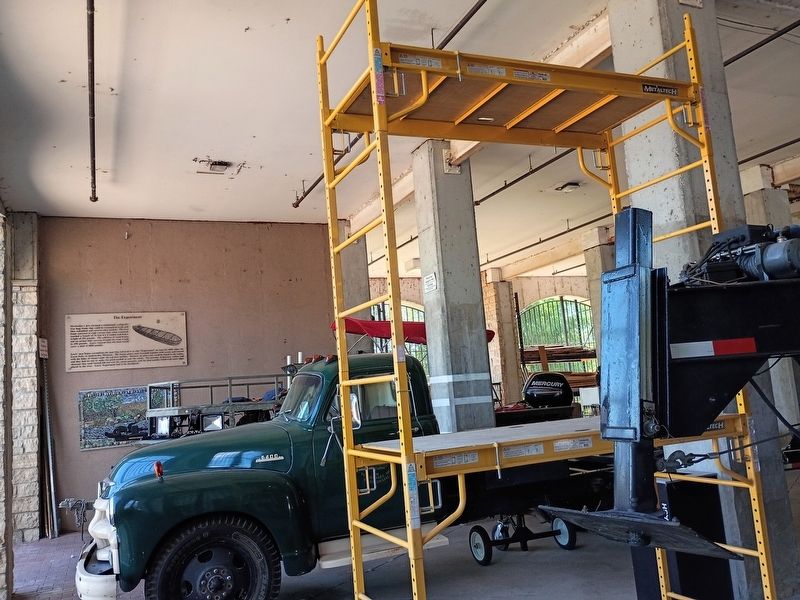
2. River Crest Marker
Credits. This page was last revised on November 3, 2026. It was originally submitted on October 30, 2026, by Craig Doda of Napoleon, Ohio. This page has been viewed 6 times since then. Photos: 1, 2. submitted on October 30, 2026, by Craig Doda of Napoleon, Ohio. • Devry Becker Jones was the editor who published this page.
