Arrow Rock in Saline County, Missouri — The American Midwest (Upper Plains)
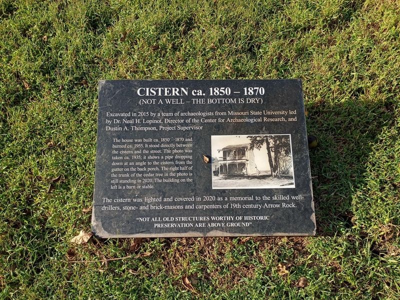
Cistern ca. 1850 – 1870
(Not a Well – The Bottom is Dry)
Photographed by Craig Doda, September 12, 2026
1. Cistern ca. 1850 – 1870 Marker
Excavated in 2015 by a team of archaeologists from Missouri State University led by Dr. Neal H. Lopinot, Director of the Center for Archaeological Research, and Dustin A. Thompson, Project Supervisor.
The house was built ca. 1850 – 1870 and burned ca. 1955. It stood directly between the cistern and the street. The photo was taken ca. 1935; it shows a pipe dropping down at an angle to the cistern from the gutter on the back porch. The right half of the trunk of the cedar tree in the photo is still standing in 2020. The building on the left is a barn or stable.
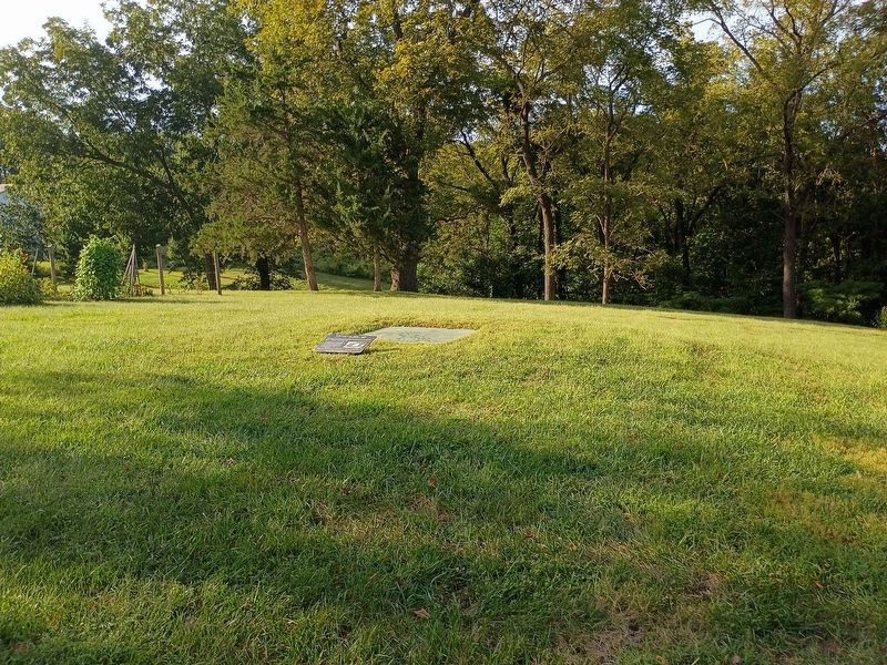
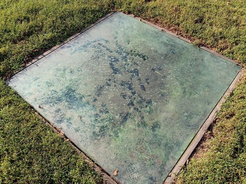
The cistern was lighted and covered in 2020 as a memorial to the skilled well-drillers, stone- and brick-masons and carpenters of 19th century Arrow Rock.
“Not all old structures worthy of historic preservation are above ground.”
Topics. This historical marker is listed in these topic lists: Anthropology & Archaeology • Natural Resources. A significant historical year for this entry is 2015.
Location. 39° 4.28′ N, 92° 56.559′ W. Marker is in Arrow Rock, Missouri, in Saline County. It is at the intersection of High Street and 1st Street, on the right when
this page online

Regionally, this marker is in the Missouri River Corridor. It is also in the American Midwest, in the Lewis & Clark Corridor, in the Corn Belt, and on the Santa Fe Trail Corridor. Globally, it is in North America, the Western Hemisphere, the Western World, and the Anglosphere. Historically, it finds itself in what was once the territory of the Mississippian Culture, the Louisiana Purchase, and the Antebellum South.
Other nearby markers. At least 8 other markers are within walking distance of this marker: Arrow Rock and the River (within shouting distance of this marker); The Lewis and Clark Expedition Across Missouri (within shouting distance of this marker); George Caleb Bingham Home (within shouting distance of this marker); Sappington Memorial Building (about 300 feet away, measured in a direct line); Godsey's Diggings (about 400 feet away); Arrow Rock (about 700 feet away); Arrow Rock River Landing: Developing a Town and a Country (about 700 feet
Photographed by Craig Doda, September 12, 2026
2. Cistern ca. 1850 – 1870 Marker
Photographed by Craig Doda, September 12, 2026
3. Cistern ca. 1850 – 1870 Marker
Credits. This page was last revised on November 3, 2026. It was originally submitted on October 30, 2026, by Craig Doda of Napoleon, Ohio. This page has been viewed 7 times since then. Photos: 1, 2, 3. submitted on October 30, 2026, by Craig Doda of Napoleon, Ohio. • Devry Becker Jones was the editor who published this page.
