Whites Bend in Nashville in Davidson County, Tennessee — The American South (East South Central)
Cumberland Heights
Photographed by Darren Jefferson Clay, October 30, 2026
1. Cumberland Heights Marker
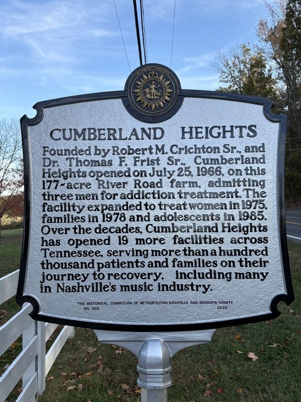
Founded by Robert M. Crichton Sr., and Dr. Thomas F. Frist Sr., Cumberland Heights opened on July 25, 1966, on this 177-acre River Road farm, admitting three men for addiction treatment. The facility expanded to treat women in 1975, families in 1978 and adolescents in 1985. Over the decades, Cumberland Heights has opened 19 more facilities across Tennessee, serving more than a hundred thousand patients and families on their journey to recovery, including many in Nashville's music industry.
Erected 2026 by The Historical Commission of Metropolitan Nashville and Davidson County. (Marker Number 289.)
Topics. This historical marker is listed in this topic list: Science & Medicine. A significant historical date for this entry is July 25, 1966.
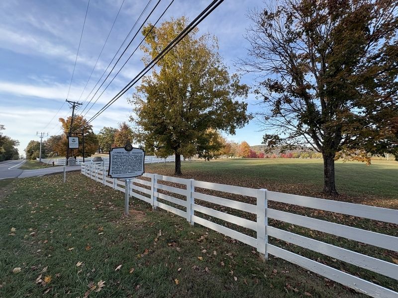
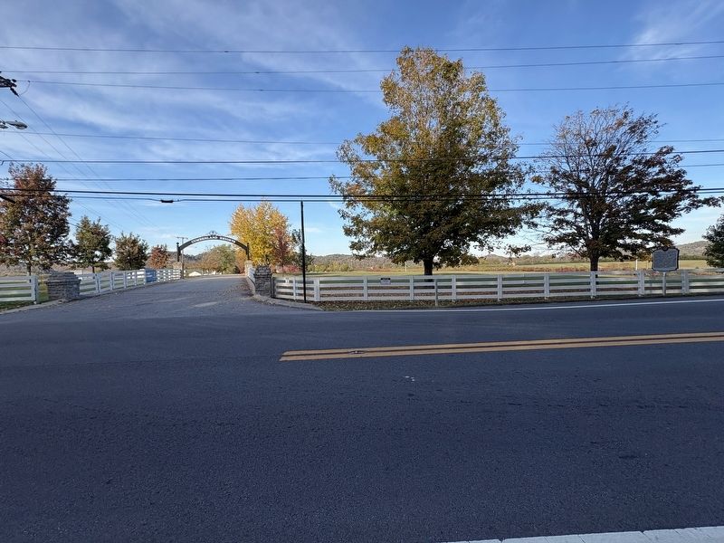
Location. 36° 11.745′ N, 86° 58.004′ W. Marker is in Nashville, Tennessee, in Davidson County. It is in Whites Bend. It is on Tennessee 251 0.3 miles west of Cub Creek Road, on the right when traveling north. Touch for map. Marker is at or near this postal address: 8283 TN-251, Nashville TN 37209, United States of America. Touch for directions.

Regionally, this marker is in Middle
this page online
Other nearby markers. At least 8 other markers are within 7 miles of this marker, measured as the crow flies: Bells Bend / Scottsboro (approx. 2.8 miles away); Jesse Shelton DeMoss (approx. 4½ miles away); Centenary United Methodist Church / Rev. William Gower (1776-1851) (approx. 5.1 miles away); The Battle of Nashville at Kelley's Point (approx. 5.4 miles away); Hyde's Ferry Turnpike (approx. 5.8 miles away); Tennessee State Penitentiary (approx. 6 miles away); Cockrill Bend (approx. 6 miles away); Richland (approx. 6.1 miles away). Touch for a list and map of all markers in Nashville.
Photographed by Darren Jefferson Clay, October 30, 2026
2. Cumberland Heights Marker
Photographed by Darren Jefferson Clay, October 30, 2026
3. Cumberland Heights Marker
Credits. This page was last revised on October 30, 2026. It was originally submitted on October 30, 2026, by Darren Jefferson Clay of Duluth, Georgia. This page has been viewed 8 times since then. Photos: 1, 2, 3. submitted on October 30, 2026, by Darren Jefferson Clay of Duluth, Georgia. • James Hulse was the editor who published this page.
