Cheyenne in Laramie County, Wyoming — The American West (Mountains)
1800s Cheyenne Area Garden
Rotary Century Plaza
Photographed by William Fischer, Jr., September 28, 2026
1. 1800s Cheyenne Area Garden Marker
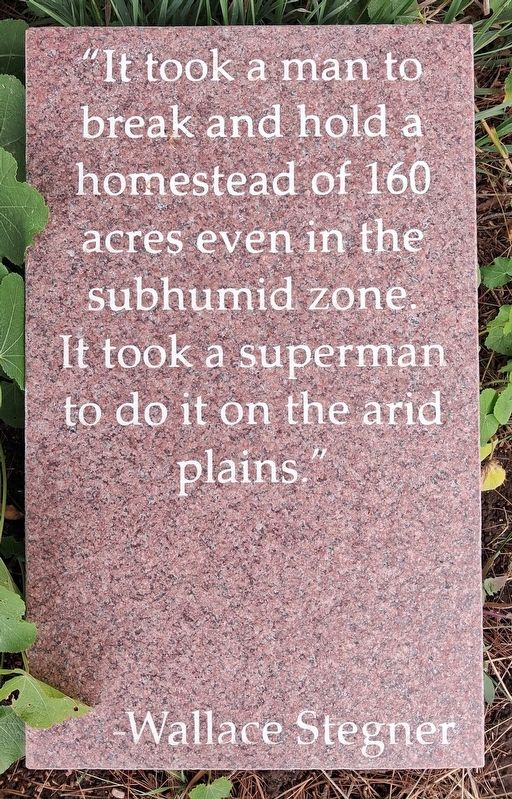
"It took a man to break and hold a homestead of 160 acres even in the subhumid zone. It took a superman to do it on the arid plains."
—Wallace Stegner
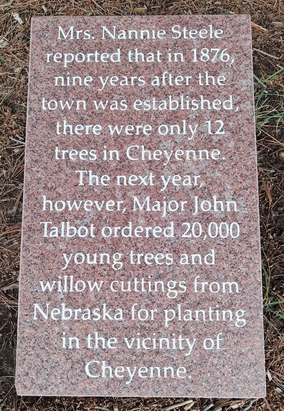
Mrs. Nannie Steele reported that in 1876, nine years after the town was established, there were only 12 trees in Cheyenne. The next year, however, Major John Talbot ordered 20,000 young trees and willow cuttings from Nebraska for planting in the vicinity of Cheyenne.
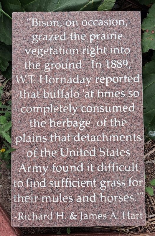
"Bison, on occasion, grazed the prairie vegetation right into the ground. In 1889, W.T. Hornady reported that buffalo 'at times so completely consumed the herbage of the plains that detachments of the United States Army found it difficult to find sufficient grass for their mules and horses.'"
—Richard H. & James A. Hart
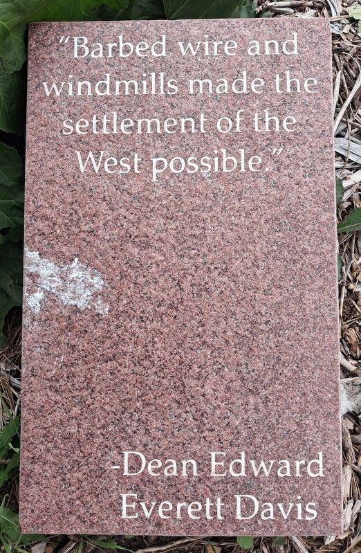
"Barbed wire and windmills made the settlement of the West possible."
—Dean Edward Everett Davis
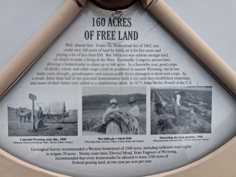
160 ACRES OF FREE LAND
Well, almost free. Under the Homestead Act of 1862, you could own 160 acres of land by living on it for five years and paying a fee of less than $50. But 160 acres was seldom enough land on which to make a living in the West. Eventually, Congress passed laws allowing a homesteader to claim up to 640 acres. In a favorable year, good crops of alfalfa, wheat, and other crops could be produced in eastern Wyoming, but in too many years drought, grasshoppers, and unseasonable frosts damaged or destroyed crops. As a result, fewer than half of the potential homesteaders stuck it out until they established ownership, and many of their farms were added to a neighboring ranch.
In 1877, John Wesley Powell of the U.S. Geological Survey recommended a Western homestead of 2560 acres, including sufficient water rights to irrigate 20 acres. Twenty years later, Elwood Mead, State Engineer of Wyoming, recommended that every homesteader be allowed to lease 2560 acres of
this page online
[Photo captions, left to right, read]
• Colorado-Wyoming state line, 1890
• Two ladies in a wheat field
• Harvesting dry farm potatoes, 1906
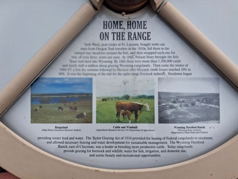
HOME, HOME ON THE RANGE
Seth Ward, post trader at Ft. Laramie, bought worn-out oxen from Oregon Trail travelers in the 1850s, fed them in the natural hay meadows around the fort, and then swapped each one for two, of even three, worn-out oxen. In 1866, Nelson Story brought the first Texas trail herd into Wyoming. By 1866 [sic-1886?] there were more than 1,500,000 cattle and nearly half-a-million sheep grazing Wyoming rangelands. Then came the winter of 1886-87; a hot dry summer followed by blizzard after blizzard; cattle losses reached 30% to 40%. It was the beginning of the end for the open-range livestock industry.
Stockmen began providing winter feed and water. The Taylor Grazing Act of 1934 provided for leasing of Federal rangelands to stockmen, and allowed necessary fencing and water development for sustainable management. The Wyoming Hereford Ranch, east of Cheyenne, was a leader in breeding more productive cattle. Today rangelands
Photographed by William Fischer, Jr., September 28, 2026
2. 1800s Cheyenne Area Garden Marker
[Photo captions, left to right, read]
• Rangeland
• Cattle and Windmill
• Wyoming Hereford Ranch
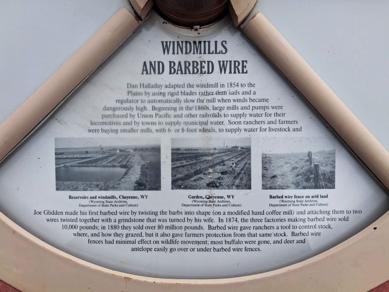
WINDMILLS AND BARBED WIRE
Dan Halladay adapted the windmill in 1854 to the Plains by using rigid blades rather than sails and a regulator to automatically slow the mill when winds became dangerously high. Beginning in the 1860s, large mills and pumps were purchased by Union Pacific and other railroads to supply water for their locomotives and by towns to supply municipal water. Soon ranchers and farmers were buying smaller mills, with 6- or 8-foot wheels, to supply water for livestock and Joe Glidden made his first barbed wire by twisting the barbs into shape (on a modified hand coffee mill) and attaching them to two wires twisted together with a grindstone that was turned by his wife.
In 1874, the three factories making barbed wire sold 10,000 pounds; in 1880 they sold over 80 million pounds. Barbed wire gave ranchers a tool to control stock, where, and how they grazed, but it also gave farmers
Photographed by William Fischer, Jr., September 28, 2026
3. 1800s Cheyenne Area Garden Marker
[Photo captions, left to right, read]
• Reservoirs and windmills, Cheyenne, WY
• Garden, Cheyenne, WY
• Barbed wire fence on arid land
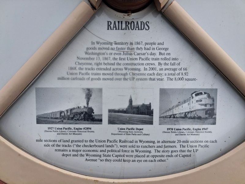
RAILROADS
In Wyoming Territory in 1867, people and goods moved no faster than they had in George Washington's or even Julius Caesar's day. But on November 13, 1867, the first Union Pacific train rolled into Cheyenne, right behind the construction crews. By the fall of 1868, the tracks extended across Wyoming. In 2001, an average of 66 Union Pacific trains moved through Cheyenne each day; a total of 8.92 million carloads of goods moved over the UP system that year. The 8,000 square-mile sections of land granted to the Union Pacific Railroad in Wyoming, in alternate 20-mile sections on each side of the tracks ("the checkerboard lands"), were sold to ranchers and farmers. The Union Pacific remains a major economic and political force in Wyoming. The story goes that the UP depot and the Wyoming State Capitol were placed at opposite ends of Capitol Avenue "so they could keep an eye on each other."
[Photo captions, left to right, read]
• 1927 Union Pacific, Engine #2894
• Union Pacific Depot
• 1970 Union Pacific, Engine #947
Erected by Cheyenne Botanic Gardens, Rotary, and Concerned Citizens and Organizations.
Topics. This historical marker is listed in these topic lists: Environment • Industry & Commerce • Railroads & Streetcars • Settlements & Settlers. A significant historical year for this entry is 1867.
Location. 41° 9.452′ N, 104° 49.949′ W. Marker is in Cheyenne, Wyoming, in Laramie County. It can be reached from no nearby street. Markers are in the Rotary 1800s Century
Photographed by William Fischer, Jr., September 28, 2026
4. 1800s Cheyenne Area Garden Marker

Regionally, this marker is in the Laramie Basin. It is also in the American Mountain West, on the Great Plains, and specifically on the High Plains. Globally, it is in North America, the Western Hemisphere, the Western World, and the Anglosphere. Historically, it finds itself in what was once the Louisiana Purchase.
Other nearby markers. At least 8 other markers are within walking distance of this marker: 1929 Farmall "Regular Series" Tractor (a few steps from this marker); Union Pacific Steam Engine #1242 (a few steps from this marker); Gene Howard (a few steps from this marker); Shelterbelts (a few steps from this marker); 1900s Cheyenne Area Garden (a few steps from this marker); Floyd and Edna Young Folk Art Fence (within shouting distance of this marker); Rotary Century Plaza (within shouting distance of this marker); 1700s Cheyenne Area Garden (within shouting distance of this marker). Touch for a list and map of all markers in Cheyenne.
Photographed by William Fischer, Jr., September 28, 2026
5. 160 Acres of Free Land Marker
On the 1800s Cheyenne Area Garden Marker Wheel
Photographed by William Fischer, Jr., September 28, 2026
6. Home, Home on the Range Marker
On the 1800s Cheyenne Area Garden Marker Wheel
Photographed by William Fischer, Jr., September 28, 2026
7. Windmills and Barbed Wire Marker
On the 1800s Cheyenne Area Garden Marker Wheel
Photographed by William Fischer, Jr., September 28, 2026
8. Railroads Marker
On the 1800s Cheyenne Area Garden Marker Wheel
Photographed by William Fischer, Jr., September 28, 2026
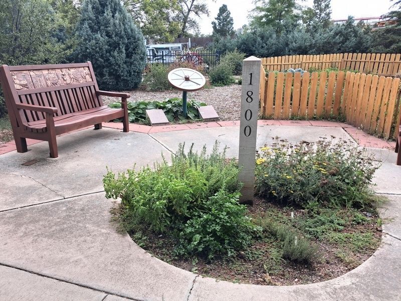
9. 1800s Cheyenne Area Garden
Photographed by William Fischer, Jr., September 28, 2026
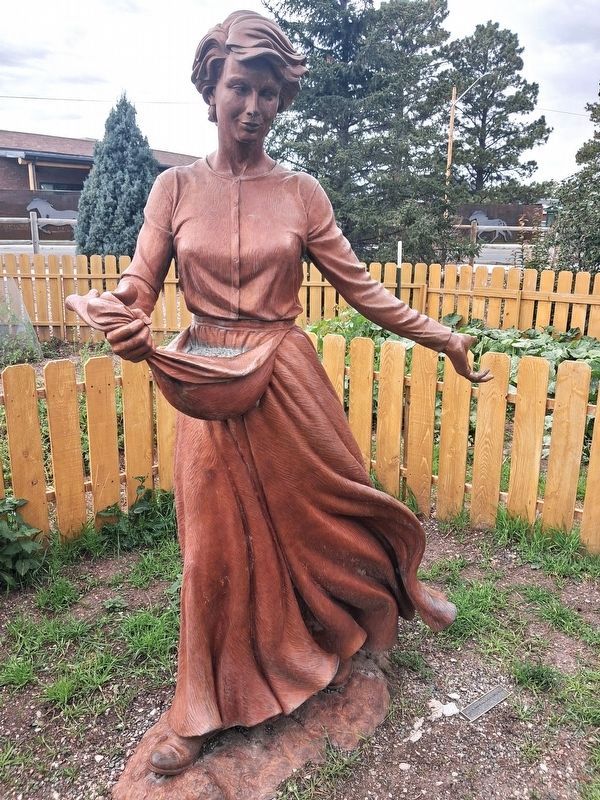
10. Next Winter's Bread Sculpture in 1800s Cheyenne Area Garden
Photographed by William Fischer, Jr., September 28, 2026
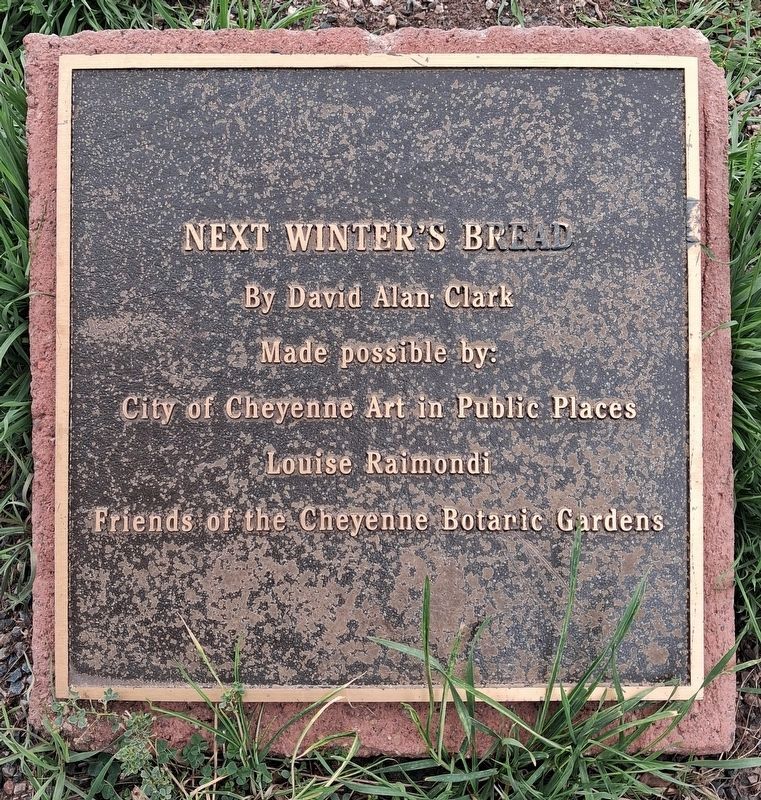
11. Next Winter's Bread Marker in 1800s Cheyenne Area Garden
Credits. This page was last revised on November 1, 2026. It was originally submitted on October 31, 2026, by William Fischer, Jr. of Reynoldsburg, Ohio. This page has been viewed 10 times since then. Photos: 1, 2, 3, 4, 5, 6, 7, 8, 9, 10, 11. submitted on October 31, 2026, by William Fischer, Jr. of Reynoldsburg, Ohio.
